Thurleston / Thurlston / Toroluestuna / Turduestuna / Turlestuna / Turoluestuna] / Turolwestuna / Turuestuna
![Main image for Thurleston / Thurlston / Toroluestuna / Turduestuna / Turlestuna / Turoluestuna] / Turolwestuna / Turuestuna](/static-50478a99ec6f36a15d6234548c59f63da52304e5/compressed/1190901009_compressed.png)
Results: 2 records
view of church exterior - southeast view
Scene Description: Source caption: "Whitton (cum Thurleston) St Mary’s church. This church was almost entirely rebuilt by the Victorians in the style of the late 13th, early 14th century. The south aisle, tower and lovely broached spire were all constructed from the disused St Botolph’s church at Thurleston, less than a half mile away across the fields. (St. Botolph’s fell into disrepair in 1528 and was eventually used as a barn until 1867.) The rebuilt tower doorway is 13th century, and the single bell is dated 1441. Almost everything inside the church is post-1870, the date of the restoration. The piscina, however, is 13th century and the roof of the chancel is also original."
view of context
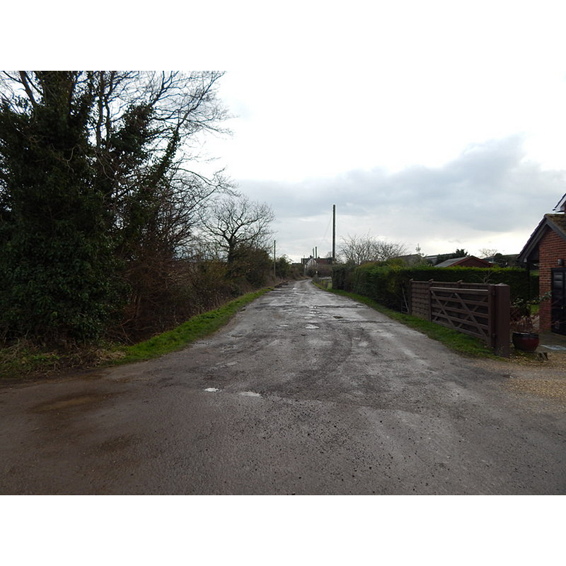
Scene Description: Source caption: "Looking towards Church Farm, Thurleston. According to the map, where I am is about where Thurleston church (St Botolph) was"
Copyright Statement: Image copyright © Hamish Griffin, 2014
Image Source: digital photograph taken 18 February 2014 by Hamish Griffin [www.geograph.org.uk/photo/3853576] [accessed 2 September 2019]
Copyright Instructions: CC-BY-SA-2.0
INFORMATION
Font ID: 22310THU
Object Type: Baptismal Font1?
Church / Chapel Name: Parish Church of St. Botolph [disappeared; partly re-built into Whitton St. Mary's]]
Font Location in Church: [disappeared]
Church Patron Saint(s): St. Botulph [aka St. Botolph, Botolph of Thorney, Botulf]
Church Notes: [cf. FontNotes]
Site Location: Suffolk, East Anglia, England, United Kingdom
Directions to Site: Located about 3-4 km NW of Ipswich
Ecclesiastic Region: Diocese of St Edmundsbury & Ipswich
Historical Region: Hundred of Claydon
Font Notes:
Click to view
There are thirteen entries for this Thurleston in the Domesday survey [https://opendomesday.org/place/TM1548/thurleston/] [accessed 1 September 2019]; of those, four mention a number of priests, churches and church lands: "1 church. 0.00833 church lands'; "0.5 churches. 0.04 church lands"; "0.5 churches. 0.04 church lands"; "0.75 church lands"; interestingly there are a number of clerics, high and low, identified in the Thurleston entries: Algar, priest, lord; Aelfric, priest, lord in 1086 [the name Aelfric, without a qualifier, appears here also as lord and as father of Wihtgar, identified as 'son of Aelfric'); Stigand, archbishop, overlord in 1066; Walter, deacon, lord and tenant in 1086; Herfast, bishop, overlord in 1066". The entry for Thurleston in John Kirby's A topographical and historical description of the county of Suffolk (Woodbridge: Longman and Co., 1899: 55) reports that its church became neglected "and was for sometime used as a barn". Kelly's Directory for Norfolk and Suffolk (1896) shows Thurleston in its entry for "Whitton-cum-Thurleston", and notes the church of St Mary as being the original church of Whitton, "rebuilt and very much enlarged in 1852, and again in 1862, since when, by the influence of the present rector, the remains of Old Thurleston church, which had been long used as a barn, were rescued from sacrilege, and used in adding to this sacred edifice a southern aisle and handsome tower and spire, which from its position, now forms one of the ecclesiastical ornaments of the county. Thurleston church was dedicated to St. Botolph, and on its site now stand two cottages."