Hammerwich / Humeruuich
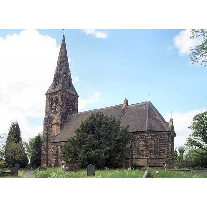
Image copyright © Geoff Pick, 2004
CC-BY-SA-2.0
Results: 1 records
view of church exterior - southeast view
Scene Description: There was church in Hammerwich at the time of the Domesday survey, but the present church is 19thC
Copyright Statement: Image copyright © Geoff Pick, 2004
Image Source: digital photograph taken 22 May 2004 by Geoff Pick [www.geograph.org.uk/photo/121217] [accessed 6 August 2019]
Copyright Instructions: CC-BY-SA-2.0
INFORMATION
Font ID: 22276HAM
Object Type: Baptismal Font1?
Font Century and Period/Style: 11th century, Pre-Conquest? / Norman
Church / Chapel Name: Parish Church of St. John the Baptist
Font Location in Church: [disappeared]
Church Patron Saint(s): St. John the Baptist
Church Address: Church Ln, Hammerwich, Lichfield WS7 0JW, UK -- Tel.: +44 543 673400
Site Location: Staffordshire, West Midlands, England, United Kingdom
Directions to Site: Located off (N) the A5, SE of Burntwood, 6-8 WSW of Lichfield
Ecclesiastic Region: Diocese of Lichfield
Historical Region: Hundred of Offlow
Additional Comments: disappeared font? (the one from the Domesday-time church here)
Font Notes:
Click to view
There is an entry for Hammerwich [variant spelling] in the Domesday survey [https://opendomesday.org/place/SK0607/hammerwich/] [accessed 6 August 2019]; it reports five priests but not a church in it, though there must have been one there. The entry for this township in the Victoria County History (Stafford, vol. 14, 1990) notes: "Architectural evidence suggests the existence of a chapel at Hammerwich in the 12th century. In 1563 the chapel was described as appropriated to the prebend of Freeford in Lichfield cathedral and within the prebendary's peculiar jurisdiction. In 1549, however, it had been certified as a chantry chapel. [...] The existence of a chapelyard in 1549 [...] suggests that the chapel then had burial rights. It had baptismal rights by the early 18th century: its former font, now in Christ Church, Burntwood, is dated 1715." The entry in the VCH (ibid.) informs that the church was demolished in 1872 and a new church opened in 1874. The entry for this church in Historic England [Listing NGR: SK0700107364] describes it as "Parish church. 1873-83" and mentions no font in it.
COORDINATES
UTM: 30U 573714 5835563
Latitude & Longitude (Decimal): 52.665, -1.91
Latitude & Longitude (DMS): 52° 39′ 54″ N, 1° 54′ 36″ W
REFERENCES
- Victoria County History [online], University of London, 1993-. URL: https://www.british-history.ac.uk.