Paddington No. 1
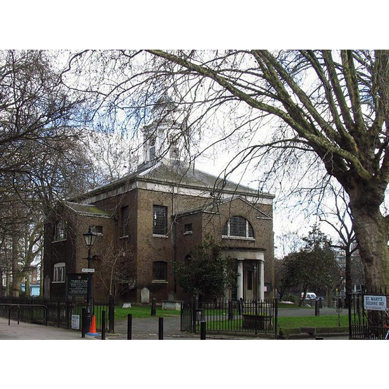
Image copyright © John Salmon, 2007
CC-BY-SA-2.0
Results: 2 records
view of church exterior - northwest view
Copyright Statement: Image copyright © John Salmon, 2007
Image Source: edited detail of a digital photograph taken 2 March 2007 by John Salmon [www.geograph.org.uk/photo/351966] [accessed 26 June 2019]
Copyright Instructions: CC-BY-SA-2.0
view of church exterior - southwest view
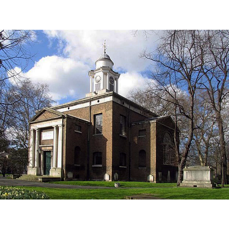
Copyright Statement: Image copyright © John Salmon, 2007
Image Source: digital photograph taken 2 March 2007 by John Salmon [www.geograph.org.uk/photo/351972] [accessed 26 June 2019]
Copyright Instructions: CC-BY-SA-2.0
INFORMATION
Font ID: 22207PAD
Object Type: Baptismal Font1?
Font Century and Period/Style: 13th century, Early English
Church / Chapel Name: Church of St Mary on Paddington Green
Font Location in Church: [disappeared]
Church Patron Saint(s): St. Mary the Virgin
Church Address: Edgware and Harrow Rd, Paddington Green, Little Venice, London W2 1SP , UK -- Tel.: (020) 7723 7266
Site Location: Greater London, South East, England, United Kingdom
Directions to Site: Located off (N) the A40 [aka Westway], W of the A5 [aka Edgware Rd], NW of the City
Ecclesiastic Region: Diocese of London
Historical Region: Hundred of Ossulstone -- formerly Middlesex
Additional Comments: disappeared font? (the one from the medieval church here)
Font Notes:
Click to view
The only individual entry for Paddington [variant spelling] in the Domesday survey, where it appears as 'Padendene', refers to the one in Surrey (Hundred of Wotton), located between Shere (W) and Wotton (E). The entry for the civil parish of Paddington (Ossulstone hundred) in the Victoria County History (Middlesex, vol. 9, 1989) notes: "A chapel at Paddington was declared in 1222 to belong to the parish of St. Margaret, Westminster, [...] of which the rectory had long been held by Westminster abbey. [...] A single chapel or church at Paddington green, twice rebuilt, served the parish until 1818. In 1845 its function as the parish church was transferred to St. James's, Sussex Gardens. [...] The existing church of ST. MARY, Paddington green, [...] was built under an Act of 1788 [...] The body of the church was reseated with new box pews in 1972-3, when the original panelling, font, pulpit, altar, and altar rails were restored"; the VCH entry gives no detail of the font mentioned in its text.
COORDINATES
UTM: 30U 695992 5711494
Latitude & Longitude (Decimal): 51.52051, -0.1749
Latitude & Longitude (DMS): 51° 31′ 13.84″ N, 0° 10′ 29.64″ W
REFERENCES
- Victoria County History [online], University of London, 1993-. URL: https://www.british-history.ac.uk.