Ealing / Gilling / Gillingas / Illing / Ylling
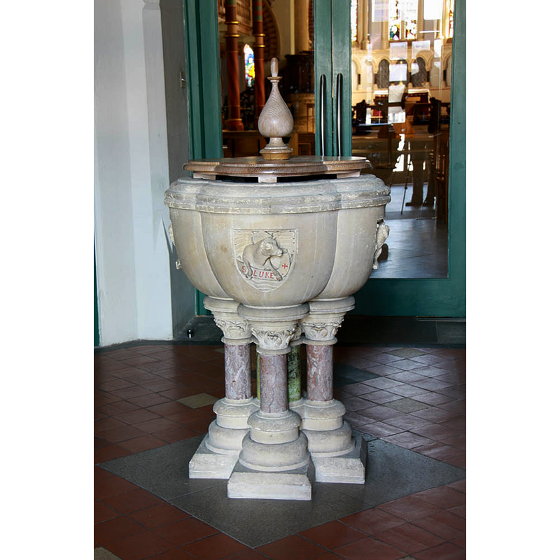
Image copyright © John Salmon, 2010
CC-BY-SA-2.0
Results: 4 records
view of font and cover
Scene Description: the modern font; it has the symbols of the four Evangelists on the sides of the quatrilobe basin
Copyright Statement: Image copyright © John Salmon, 2010
Image Source: digital photograph taken 16 March 2010 by John Salmon [www.geograph.org.uk/photo/1758998] [accessed 21 June 2019]
Copyright Instructions: CC-BY-SA-2.0
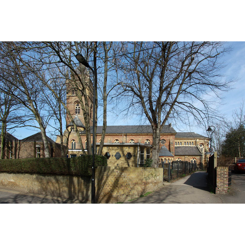
view of church exterior - south view
Copyright Statement: Image copyright © John Salmon, 2010
Image Source: digital photograph taken 16 March 2010 by John Salmon [www.geograph.org.uk/photo/1758265] [accessed 21 June 2019]
Copyright Instructions: CC-BY-SA-2.0
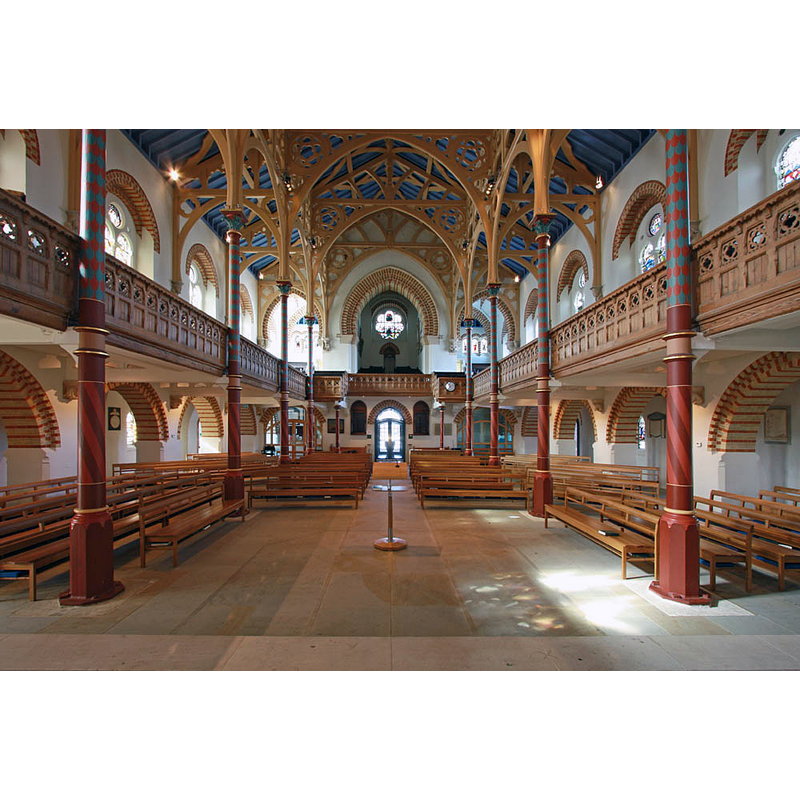
view of church interior - looking west
Copyright Statement: Image copyright © John Salmon, 2010
Image Source: digital photograph taken 16 March 2010 by John Salmon [www.geograph.org.uk/photo/1758959] [accessed 21 June 2019]
Copyright Instructions: CC-BY-SA-2.0
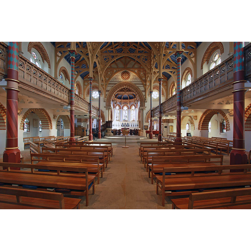
view of church interior - looking east
Copyright Statement: Image copyright © John Salmon, 2010
Image Source: digital photograph taken 16 March 2010 by John Salmon [www.geograph.org.uk/photo/1758944] [accessed 21 June 2019]
Copyright Instructions: CC-BY-SA-2.0
INFORMATION
Font ID: 22198EAL
Object Type: Baptismal Font1?
Font Date: ca. 1127?
Font Century and Period/Style: 12th century (early?), Late Norman
Church / Chapel Name: Parish Church of St. Mary
Font Location in Church: [disappeared]
Church Patron Saint(s): St. Mary the Virgin
Church Address: St Mary's Rd, Ealing, London W5 5RH, UK -- Tel.: +44 20 8579 7134
Site Location: Greater London, South East, England, United Kingdom
Directions to Site: Located off the B455 [aka S Ealing Rd], less than 1 km S of Ealing town centre, N of the M4, 13 km W of Charing Cross
Ecclesiastic Region: Diocese of London
Historical Region: Hundred of Ossulstone -- formerly Middlesex
Additional Comments: disappeared font? (replaced in 1743; present whereabouts unknown [cf. FontNotes])
Font Notes:
Click to view
No individual entry for Ealing found in the Domesday survey. The entry for this parish in the Victoria County History (Middlesex, vol. 7, 1982) notes: "The church at Ealing was in the gift of the bishop of London c. 1127 [...] The church served the whole parish [...] until part of Ealing was assigned to St. George's, Old Brentford, in 1828 and a new district was formed for Christ the Saviour in 1852. [...] The church of ST. MARY, called St. Mary of the Assumption in 1446, (fn. 52) stands at the south end of St. Mary's Road, at least the second building on the site. A church stood there in the late 14th century [...] A brief for rebuilding was obtained in 1733 (fn. 63) and the shell of the fabric was complete in 1739, when an Act permitted borrowing on security of the rates. [...] Opened in 1740 [...] The 18thcentury church was remodelled and extended between 1865 and 1873 in a Venetian style by S. S. Teulon. [...] The church was restored in 1955 [...] and the church lounge was added on the south in 1959 and much enlarged as the parish centre in 1977-8 [...] The ancient pillared font was replaced in 1743." The church was restored 2002-2003.
COORDINATES
UTM: 30U 686988 5709358
Latitude & Longitude (Decimal): 51.504375, -0.305657
Latitude & Longitude (DMS): 51° 30′ 15.75″ N, 0° 18′ 20.36″ W
REFERENCES
- Barral i Altet, Xavier, Belgique romane, et Grand-Duché de Luxembourg, La Pierre-qui-vire, Yonne: Zodiaque, 1989, [http://www.british-history.ac.uk/vch/middx/vol7/pp150-153] [accessed 21 June 2019] ]