Enfield / Enefelde
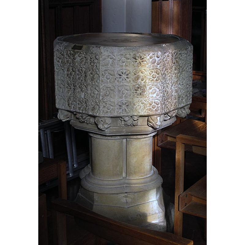
Image copyright © Mike Quinn, 2014
CC-BY-SA-2.0
Results: 4 records
view of font
Scene Description: the mid-19thC font
Copyright Statement: Image copyright © Mike Quinn, 2014
Image Source: digital photograph taken 5 March 2014 by Mike Quinn [www.geograph.org.uk/photo/3903061] [accessed 17 June 2019]
Copyright Instructions: CC-BY-SA-2.0
view of church exterior - south view
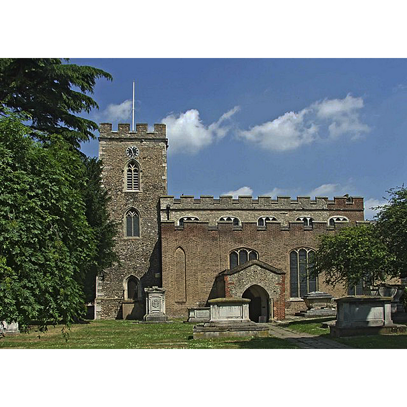
Copyright Statement: Image copyright © Christine Matthews, 2006
Image Source: digital photograph taken 16 June 2006 by Christine Matthews [www.geograph.org.uk/photo/187730] [accessed 17 June 2019]
Copyright Instructions: CC-BY-SA-2.0
view of church interior - looking west
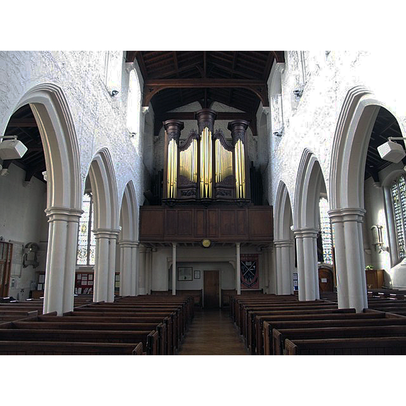
Copyright Statement: Image copyright © Mike Quinn, 2014
Image Source: digital photograph taken 5 March 2014 by Mike Quinn [www.geograph.org.uk/photo/3901419] [accessed 17 June 2019]
Copyright Instructions: CC-BY-SA-2.0
view of church interior - looking east
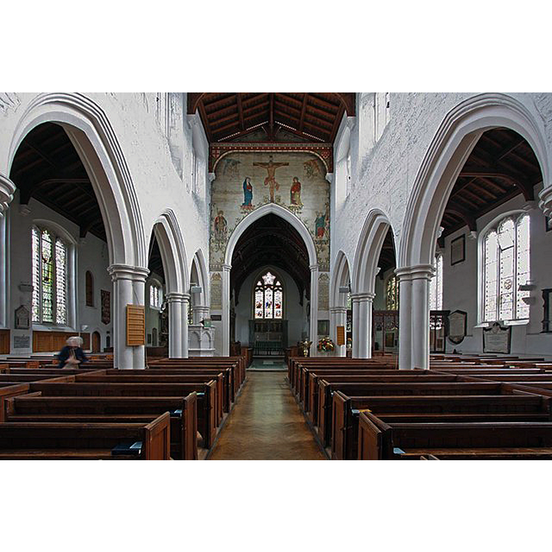
Copyright Statement: Image copyright © John Salmon, 2009
Image Source: digital photograph taken 16 October 2009 by John Salmon [www.geograph.org.uk/photo/1547721] [accessed 17 June 2019]
Copyright Instructions: CC-BY-SA-2.0
INFORMATION
Font ID: 22193ENF
Object Type: Baptismal Font1?
Font Century and Period/Style: 11th century, Pre-Conquest? / Norman
Church / Chapel Name: Parish Church of St. Andrew
Font Location in Church: [disappeared]
Church Patron Saint(s): St. Andrew
Church Address: 18 Silver St, Enfield EN1 3EG, UK -- Tel.: +44 20 8363 8676
Site Location: Greater London, South East, England, United Kingdom
Directions to Site: Located off (NW) the A105-A110 crossroads, 1-2 km E of the A10, 3 km S of the M25
Ecclesiastic Region: Diocese of London
Historical Region: Hundred of Edmonton -- formerly Middlesex
Additional Comments: disappeared font? (the one from the Domesday-time church here)
Font Notes:
Click to view
There is an entry for Enfield [variant spelling] in the Domesday survey [https://opendomesday.org/place/TQ3296/enfield/] [accessed 17 June 2019]; it reports a priest and "0.25 church lands", but not a church in it, though there must have been one there. The entry for this parish in the Victoria County History (Middlesex, vol. 5, 1976) notes: "There was a priest at Enfield in 1086. [...] At about that date Geoffrey de Mandeville gave a portion of the tithes, with pannage in the park and woods, to his newly-founded priory at Hurley (Berks.) [...] Most of the fabric of the church is 14th- or 15th-century, much restored, and the south aisle dates from 1824. The walls of the older parts are of ragstone, flint rubble, and brick, with Reigate stone dressings; the south aisle is of brick. The east end of the chancel is of the 13th century, the west tower is probably a century earlier, and their relative positions suggest an early medieval church of considerable length"; the VCH entry does not mention a font in this church. The present font is modern, from the mid-19th century.
COORDINATES
UTM: 30U 701847 5726478
Latitude & Longitude (Decimal): 51.653, -0.082
Latitude & Longitude (DMS): 51° 39′ 10.8″ N, 0° 4′ 55.2″ W
REFERENCES
- Victoria County History [online], University of London, 1993-. URL: https://www.british-history.ac.uk.