Harefield / Herefelle
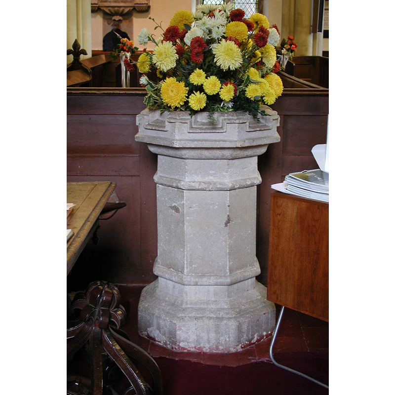
Image copyright © John Salmon, 2010
CC-BY-SA-2.0
Results: 5 records
view of font
Scene Description: the modern font; its wooden cover is partially visible in the bottom left corner of the image
Copyright Statement: Image copyright © John Salmon, 2010
Image Source: digital photograph taken 18 October 2003 by John Salmon [www.geograph.org.uk/photo/1688672] [accessed 7 June 2019]
Copyright Instructions: CC-BY-SA-2.0
view of font and cover in context
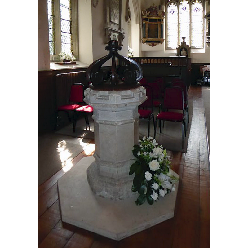
Scene Description: the modern font
Copyright Statement: Image copyright © Basher Eyre, 2016
Image Source: digital photograph taken 13 August 2016 by Basher Eyre [www.geograph.org.uk/photo/5073526] [accessed 7 June 2019]
Copyright Instructions: CC-BY-SA-2.0
view of church exterior in context - northeast
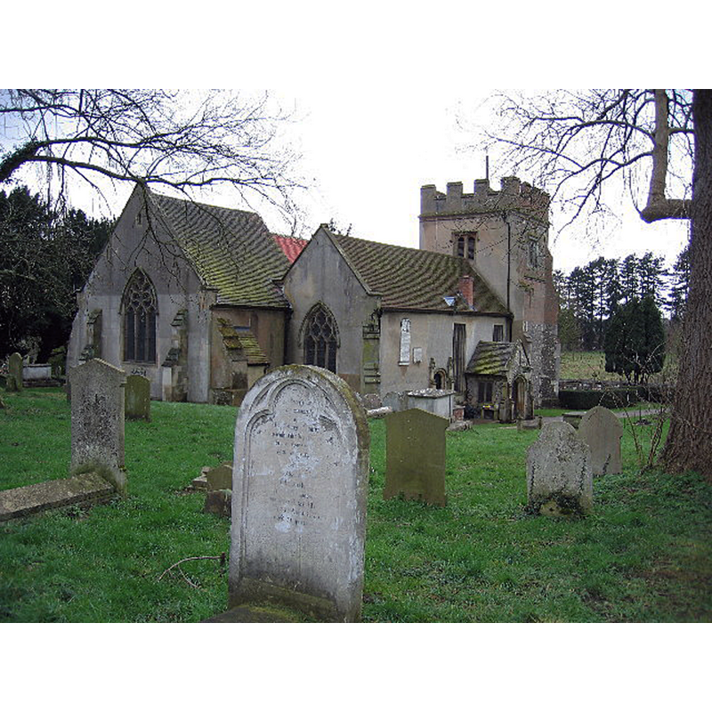
Copyright Statement: Image copyright © Pip Rolls, 2005
Image Source: digital photograph taken 20 January 2005 by Pip Rolls [www.geograph.org.uk/photo/62037] [accessed 7 June 2019]
Copyright Instructions: CC-BY-SA-2.0
view of church exterior - north view
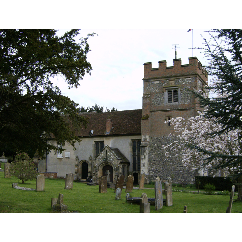
Copyright Statement: Image copyright © UKgeofan, 2008
Image Source: digital photograph taken 27 April 2008 by UKgeofan [https://commons.wikimedia.org/wiki/File:Harefield_Church.JPG] [accessed 7 June 2019]
Copyright Instructions: GFDL / CC-BY-SA-3.0
view of church interior - looking east
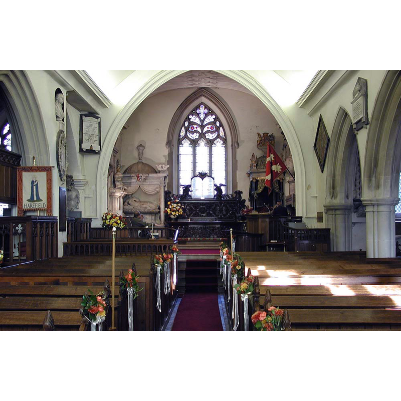
Copyright Statement: Image copyright © John Salmon, 2010
Image Source: digital photograph taken 18 October 2003 by John Salmon [www.geograph.org.uk/photo/1688693] [accessed 7 June 2019]
Copyright Instructions: CC-BY-SA-2.0
INFORMATION
Font ID: 22187HAR
Object Type: Baptismal Font1?
Font Century and Period/Style: 12th century, Late Norman
Church / Chapel Name: Parish Church of St. Mary
Font Location in Church: [disappeared]
Church Patron Saint(s): St. Mary the Virgin
Church Address: Church Hill, Harefield, Uxbridge UB9 6DU, UK -- Tel.: +44 1895 825960
Site Location: Greater London, South East, England, United Kingdom
Directions to Site: Located off (NE) the M40-A40-A413 junction, 4-5 km N of Uxbridge
Ecclesiastic Region: Diocese of London
Historical Region: Hundred of Elthorne -- formerly Middlesex
Additional Comments: disappeared font? (the one from the 12thC church here)
Font Notes:
Click to view
There is an entry for Harefield [and Harefield South] [variant spelling] in the Domesday survey [https://opendomesday.org/place/XX0000/harefield-and-harefield-south/] [accessed 7 June 2019]; it reports a priest and "0.25 church lands" but not a church in it, though there must have been one there. The entry for this parish in the Victoria County History (Middlesex, vol. 3, 1962) notes: "There was a priest in the manor of Harefield in 1086, [...] but nothing further is known concerning the church until the late 12th century. At that time Beatrice de Bollers, and her son, Geoffrey son of Baldwin, who seem to have owned Harefield manor, [...] gave the advowson to the Knights Hospitallers. [...] The oldest visible feature of the church is a blocked lancet window in the chancel which dates from the early 13th century, but the west wall of the nave may be of 12thcentury origin. [...] fittings of the church are noteworthy. [...] In the late 19th century it was said that the font had been used as a water trough in the vicarage garden for about 50 years, but had been restored 'a few years ago' [the VCH footnote reads: "M.R.O., PR. 17/19e. This is an unidentified newspaper cutting."] [NB: the discarded and restored font referred to in the VCH entry appears to refer to a modern font, now back in inside the church -- we have no information on the font of the medieval church here].
COORDINATES
UTM: 30U 674491 5719035
Latitude & Longitude (Decimal): 51.5953, -0.480739
Latitude & Longitude (DMS): 51° 35′ 43.08″ N, 0° 28′ 50.66″ W
REFERENCES
- Victoria County History [online], University of London, 1993-. URL: https://www.british-history.ac.uk.