Twickenham
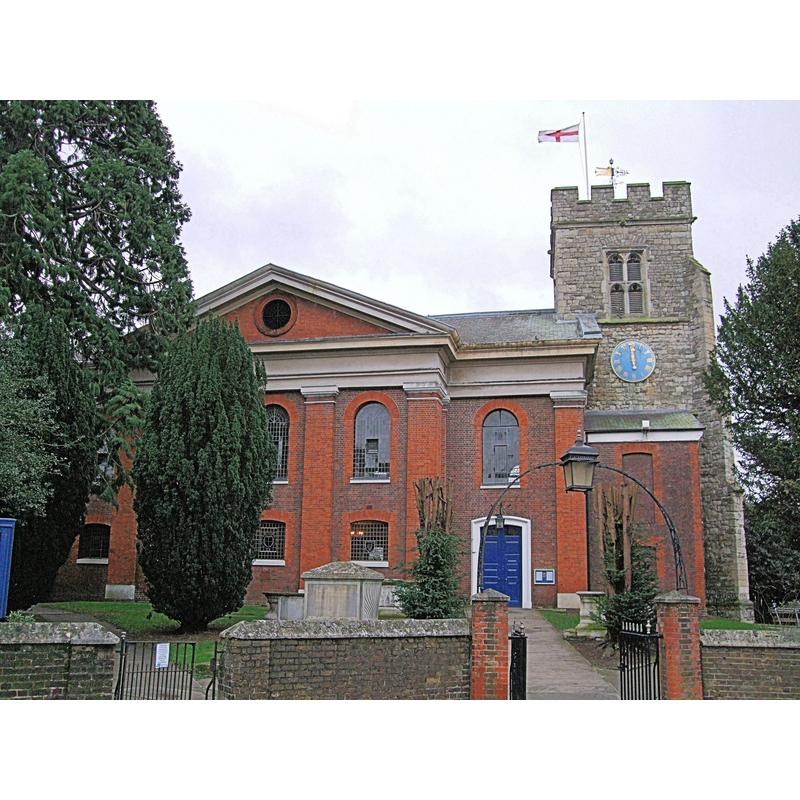
Image copyright © Jim Linwood, 2012
CC-BY-2.0
Results: 2 records
view of church exterior
Scene Description: Source caption: "The mixture of building styles of the ragstone tower, red brick nave and chancel in this church is because the original church collapsed in 1713, leaving the tower. The church was quickly rebuilt and completed in 1714."
Copyright Statement: Image copyright © Jim Linwood, 2012
Image Source: digital photograph taken 25 January 2012 by Jim Linwood [www.flickr.com/photos/54238124@N00/6766473703] [accessed 5June 2019]
Copyright Instructions: CC-BY-2.0
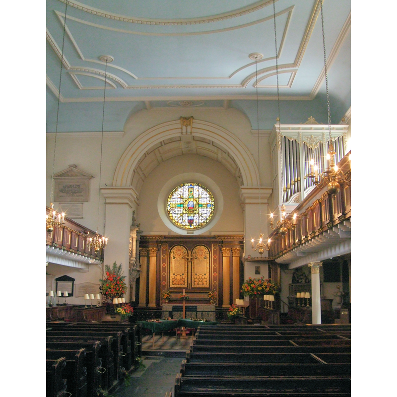
view of church interior - looking east
Copyright Statement: Image copyright © Jim Linwood, 2011
Image Source: digital photograph taken 11 June 2011 by Jim Linwood [www.flickr.com/photos/54238124@N00/5824146992] [accessed 5June 2019]
Copyright Instructions: CC-BY-2.0
INFORMATION
Font ID: 22184TWI
Object Type: Baptismal Font1?
Font Century and Period/Style: 11th century, Norman
Church / Chapel Name: Parish Church of S. Mary the Virgin
Font Location in Church: [disappeared]
Church Patron Saint(s): St. Mary the Virgin
Church Notes: church here first documented ca. 1086, but may have existed earlier [cf. FontNotes]
Church Address: Church Ln, Twickenham TW1 3NX, UK
Site Location: Greater London, South East, England, United Kingdom
Directions to Site: Located on the N banks of the Thames river, S of the A305 [aka Richmond Rd], 16 km WSW of Charing Cross
Ecclesiastic Region: Diocese of London
Historical Region: Hundred of Hounslow
Font Notes:
Click to view
No individual entry for Twickenham found in the Domesday survery. The entry for this parish in the Victoria County History (Middlesex, vol. 3, 1969) notes: "Walter of St. Valery (fl. 1086), the lord of Isleworth, granted Twickenham church to the Abbey of St. Valery (Somme) along with other churches on his lands. [...] The tower of ST. MARY THE VIRGIN was entirely rebuilt, except for the west tower, in 1715. [...] The tower [...] dates from the 15th century. [...] The only surviving medieval monument is a brass of 1443 to Richard Burton, chief cook to the king"; no font mentioned. [NB: all other churches in Twickenham, including All Hallows', are modern].
COORDINATES
UTM: 30U 685845 5702928
Latitude & Longitude (Decimal): 51.447, -0.3255
Latitude & Longitude (DMS): 51° 26′ 49.2″ N, 0° 19′ 31.8″ W
REFERENCES
- Victoria County History [online], University of London, 1993-. URL: https://www.british-history.ac.uk.