Bentley Priory in Harrow
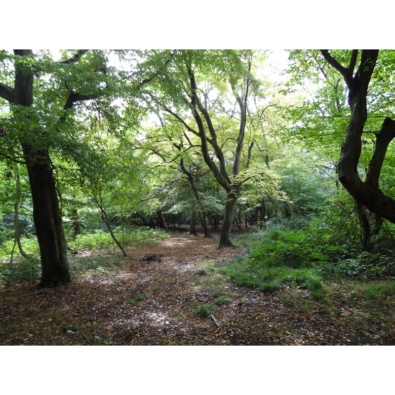
Image copyright © Dudley Miles, 2011
CC-BY-SA-3.0
Results: 1 records
view of context
Scene Description: Source caption: "Heriot Wood, Bentley Priory nature reserve, Stanmore, Harrow, London" [NB: believed to the probable site of the disappeared priory, of which nothing remains]
Copyright Statement: Image copyright © Dudley Miles, 2011
Image Source: digital photograph taken 22 September 2011 by Dudley Miles [https://commons.wikimedia.org/wiki/File:Bentley_Priory_Heriot_Wood.jpg] [accessed 23 May 2019]
Copyright Instructions: CC-BY-SA-3.0
INFORMATION
Font ID: 22169BEN
Object Type: Baptismal Font1?
Font Date: ca. 1171?
Font Century and Period/Style: 12th century (late?), Late Norman
Church / Chapel Name: Augustinian Priory Church [demolished]
Font Location in Church: [disappeared]
Church Patron Saint(s): St. Mary Magdalene
Church Address: [NB: address and coordinates are for the modern state house: Bently Priory, Stanmore HA7 3FB, UK]
Site Location: Greater London, South East, England, United Kingdom
Directions to Site: The site of the disappeared priory, and present Bentley Priory park, is located off (S) the A409-A4041 crossroads, approximately halfway between Watford (NW) and Edgware (SE)
Ecclesiastic Region: [Diocese of London]
Historical Region: Hundred of Gore -- formerly Middlesex
Additional Comments: disappeared font? (the one from the disappeared late-12thC priory church here)
Font Notes:
Click to view
The entry for this priory in the Victoria County History (Middlesex, vol. 1, 1969) notes: "Bentley was a priory or cell of Augustinian canons situated in Harrow [...] It was dedicated to St. Mary Magdalen and in the patronage of the Archbishops of Canterbury.[...] It is said to have been founded in 1171 by Ranulf de Glanville, Justiciar 1180-89, [...] perhaps as a cell of the Priory of St. Gregory outside Canterbury. [...] In 1535 the farm of the lands of St. Gregory's at Bentley was valued at £4 10s. [...] According to the court rolls of the manor of Harrow St. Gregory's had ceased to maintain a separate cell at Bentley many years before, although it was still responsible for providing a canon to celebrate in the chapel of St. Mary Magdalen. [...] There remain no traces of the buildings, which were eventually replaced by a large house called Bentley Priory, built by the Dukes of Abercorn."
COORDINATES
UTM: 30U 684514 5722885
Latitude & Longitude (Decimal): 51.62669, -0.334175
Latitude & Longitude (DMS): 51° 37′ 36.08″ N, 0° 20′ 3.03″ W
REFERENCES
- Victoria County History [online], University of London, 1993-. URL: https://www.british-history.ac.uk.