South Kelsey / Colesi / Keleseie Parva
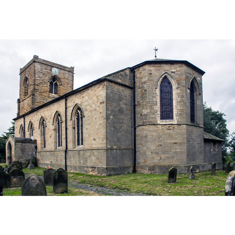
Image copyright © J. Hannan-Briggs, 2014
CC-BY-SA-2.0
Results: 2 records
view of church exterior - southeast view
Copyright Statement: Image copyright © J. Hannan-Briggs, 2014
Image Source: digital photograph taken 13 September 2014 by J. Hannan-Briggs [www.geograph.org.uk/photo/4166795] [accessed 15 May 2019]
Copyright Instructions: CC-BY-SA-2.0
view of church interior - looking east
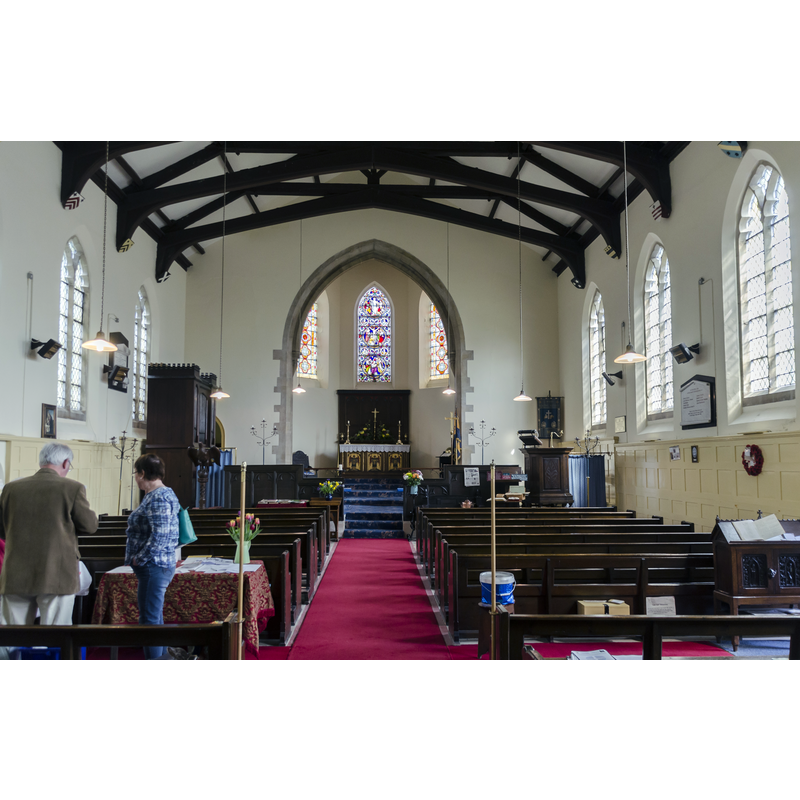
Copyright Statement: Image copyright © Jules & Jenny, 2016
Image Source: digital photograph taken 7 May 2016 by Jules & Jenny [www.flickr.com/photos/78914786@N06/27215589675] [accessed 15 May 2019]
Copyright Instructions: CC-BY-2.0
INFORMATION
Font ID: 22161KEL
Object Type: Baptismal Font1
Church / Chapel Name: Parish Church of St. Mary
Font Location in Church: Inside the church
Church Patron Saint(s): St. Mary the Virgin
Church Notes: South Kelsey was originally two eccelsiastical parishes: St Mary and St Nicholas; St Nicholas became disused and was demolished ca. 1800 -- there was a 12thC(?) priory here at Wenghale [aka Winghale] but no information of a church in it is extant
Church Address: Unnamed Rd, South Kelsey, Market Rasen LN7 6PW, UK -- Tel.: +44 1673 844770
Site Location: Lincolnshire, East Midlands, England, United Kingdom
Directions to Site: Located off the B1205, 7 km W of Caistor, 8 km E of the A15
Ecclesiastic Region: Diocese of Lincoln
Historical Region: Hundred of Walshcroft
Font Notes:
Click to view
There are two entries for [South] Kelsey [variant spelling] in the Domesday survey [https://opendomesday.org/place/TF0498/south-kelsey/] [accessed 15 May 2019] neither of which mentions a church in it, although one of them was in the lordship of "Ernwin (the priest)" in 1066. The entry for this church in Historic England [Listing NGR: TF0416898218] notes: "Parish Church; C13, C14, 1798, 1853 resoration by W.
Butterfield; 1889 restoration by Hodgson Fowler. [...] The font is a plain round bowl on an octagonal pillar and plinth." The entry for this church in LINCS to the past [www.lincstothepast.com/St-Mary-s-Church--South-Kelsey/234697.record?pt=S] [accessed 15 May 2019] notes: "St Mary's Church retains the medieval tower dating from c.1300-30. It was rebuilt in 1795, in part from materials of the ruined church of St Nicholas."
Butterfield; 1889 restoration by Hodgson Fowler. [...] The font is a plain round bowl on an octagonal pillar and plinth." The entry for this church in LINCS to the past [www.lincstothepast.com/St-Mary-s-Church--South-Kelsey/234697.record?pt=S] [accessed 15 May 2019] notes: "St Mary's Church retains the medieval tower dating from c.1300-30. It was rebuilt in 1795, in part from materials of the ruined church of St Nicholas."
COORDINATES
UTM: 30U 670443 5927704
Latitude & Longitude (Decimal): 53.4707, -0.432
Latitude & Longitude (DMS): 53° 28′ 14.52″ N, 0° 25′ 55.2″ W
MEDIUM AND MEASUREMENTS
Material: stone
Font Shape: round, mounted
Basin Interior Shape: round
Basin Exterior Shape: round
REFERENCES
- Victoria County History [online], University of London, 1993-. URL: https://www.british-history.ac.uk.