Minting No. 2 / Mentinges / Mentinghes
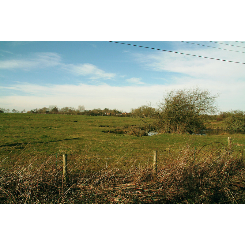
Image copyright © Chris, 2015
CC-BY-SA-2.0
Results: 1 records
view of context
Scene Description: Source caption: "Minting: site of Benedictine Priory" -- PastScape notes: " "Many features including a moat, fishpond, enclosures and crofts are visible as earthworks. These could either represent settlement or priory remains." [cf. FontNotes for full reference]
Copyright Statement: Image copyright © Chris, 2015
Image Source: digital photograph taken 7 March 2015 by Chris [www.geograph.org.uk/photo/4375557] [accessed 14 May 2019]
Copyright Instructions: CC-BY-SA-2.0
INFORMATION
Font ID: 22155MIN
Object Type: Baptismal Font1?
Font Century and Period/Style: 12th - 13th century, Medieval
Church / Chapel Name: Priory Church [disappeared]
Font Location in Church: [disappeared]
Church Address: [NB: address and coordinates given for the site of the disappeared priory: Minting, Horncastle LN9 5RT, UK]
Site Location: Lincolnshire, East Midlands, England, United Kingdom
Directions to Site: The side of the disappeared priory is approximately 2 km SW of the A158, NE of Gautby, 7-8 km NW of Horncastle
Ecclesiastic Region: [Diocese of Lincoln]
Historical Region: Hundred of Gartree
Additional Comments: disappeared font? (the one from the 12th-13thC church here)
Font Notes:
Click to view
There are two entries for Minting [variant spellings] in the Domesday survey [https://opendomesday.org/place/TF1873/minting/] [accessed 14 May 2019] neither of which mentions a church in it, although one of them lists "William the priest" as its lord in 1086. The Victoria County History (Lincoln, vol. 2, 1906) notes: "The priory of Minting, for Benedictine monks, was founded in consequence of a grant made by Ranulf de Meschines, earl of Chester, to the abbey of Fleury. The grant was made before 1129, [...] but it is uncertain when the priory was actually built; the earliest mention of a prior is in 1213. [...] The priory was in the king's hands in 1337, 1344, and 1346 on account of the wars with France. [...] It was finally granted in 1421 to the Carthusian priory of Mount Grace." The entry for this priory in PastScape [www.pastscape.org.uk/hob.aspx?hob_id=351548] [accessed 14 May 2019] notes: "Many features including a moat, fishpond, enclosures and crofts are visible as earthworks. These could either represent settlement or priory remains."
COORDINATES
UTM: 30U 685157 5903132
Latitude & Longitude (Decimal): 53.24512, -0.224958
Latitude & Longitude (DMS): 53° 14′ 42.43″ N, 0° 13′ 29.85″ W
REFERENCES
- Victoria County History [online], University of London, 1993-. URL: https://www.british-history.ac.uk.