Hagnaby / Hagenebi
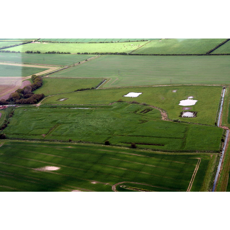
Image copyright © Chris, 2016
CC-BY-SA-2.0
Results: 1 records
view of context
Scene Description: Source caption: "Site of Premonstratensian Abbey north of Hagnaby".
Copyright Statement: Image copyright © Chris, 2016
Image Source: digital photograph taken 15 May 2016 by Chris [www.geograph.org.uk/photo/4959803] [accessed 9 May 2019]
Copyright Instructions: CC-BY-SA-2.0
INFORMATION
Font ID: 22144HAG
Object Type: Baptismal Font1?
Font Century and Period/Style: 12th century (late?), Late Norman
Church / Chapel Name: Abbey Church
Font Location in Church: [disappeared]
Church Patron Saint(s): St. Thomas of Canterbury [aka St. Thomas à Becket]
Church Address: Hannah cum Hagnaby, UK
Site Location: Lincolnshire, East Midlands, England, United Kingdom
Directions to Site: The site of the disappeared abbey is located just N of Hagnaby, about 1 km N of the A1111 and Hannah, 2-3 km W of Sutton-on-Sea and the coast
Ecclesiastic Region: [Diocese of Lincoln]
Historical Region: Hundred of Bolingbroke
Additional Comments: disappeared font? (the one from the late-12thC abbey church here)
Font Notes:
Click to view
There are two entries for Hagnaby [variant spelling] in the Domesday survey [https://opendomesday.org/place/TF3462/hagnaby/] [accessed 9 May 2019] neither of which mentions cleric or church in it. The entry for this Premonstratensian abbey in the Victoria County History (Lincoln, vol. 2, 1906) notes: "The abbey of Hagnaby is said to have been founded in 1175 by Agnes, widow of Herbert de Orreby, in honour of St. Thomas the Martyr [...] It was a colony from Welbeck Abbey [...] In 1491 several canons who were old and infirm had to be dispensed from certain observances. Some directions were given as to singing, and it was ordered that the great bell of the church should be rung at the elevation of the Host. [...] Having an income of less than £100, it was suppressed under the earlier Act in 1536". The entry for this abbey in Historic England [Legacy System number: 22616] notes: "The monument includes the remains of Hagnaby Abbey, a Premonstratensian monastery founded by Agnes de Orreby in 1175-6 as a dependent priory of Welbeck Abbey. Dedicated to St Thomas the Martyr of Canterbury, in 1250 it became an independent abbey under the abbacy of Robert of Retford. It was a relatively small establishment of up to about 13 canons and had limited endowments in the county of Lincolnshire. The abbey was dissolved in 1536 and the property sold to John Freeman of London; thereafter the site was occupied by a large country house, in ruins by the 19th century. The remains of the medieval monastery are thus overlain by those of a post-medieval house with extensive gardens and the monument includes the earthworks of both medieval and post-medieval buildings, ponds, ditches and associated features."
COORDINATES
UTM: 31U 315263 5909418
Latitude & Longitude (Decimal): 53.3017, 0.227601
Latitude & Longitude (DMS): 53° 18′ 6.12″ N, 0° 13′ 39.37″ E
REFERENCES
- Victoria County History [online], University of London, 1993-. URL: https://www.british-history.ac.uk.