Walcott nr. Billinghay / Walecote
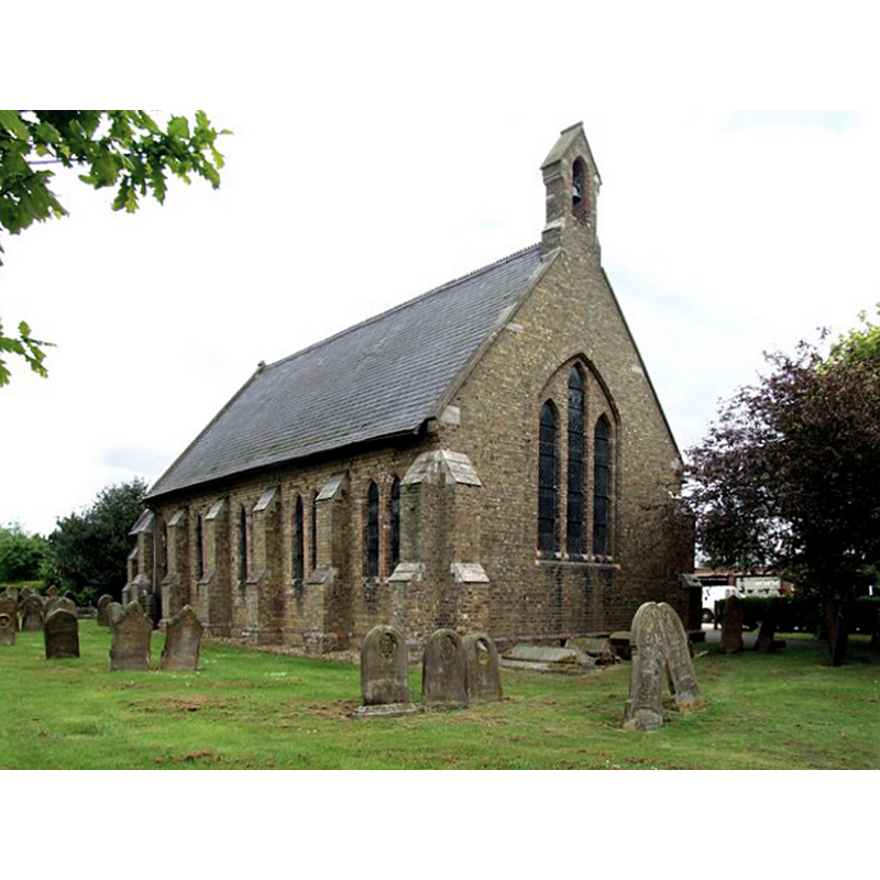
Image copyright © Dave Hitchborne, 2008
CC-BY-SA-2.0
Results: 2 records
view of church exterior
Scene Description: the modern church that replaced the medieval chapel here
Copyright Statement: Image copyright © Dave Hitchborne, 2008
Image Source: digital photograph taken 20 May 2008 by Dave Hitchborne [www.geograph.org.uk/photo/813951] [accessed 7 May 2019]
Copyright Instructions: CC-BY-SA-2.0
view of church exterior
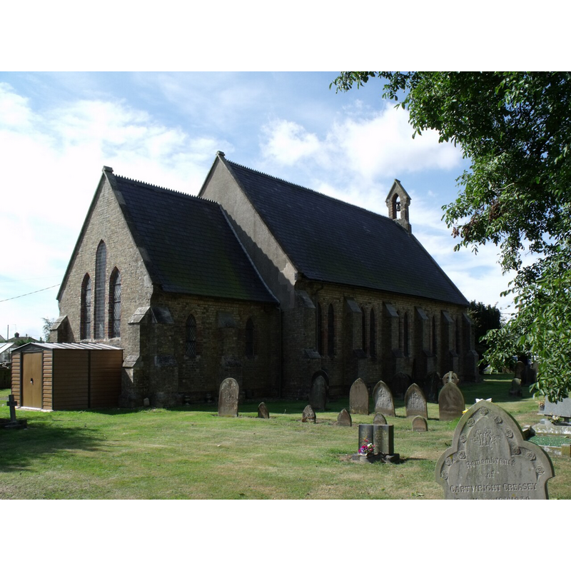
Scene Description: the modern church that replaced the medieval chapel here
Copyright Statement: Image copyright © J. Hannan-Briggs, 2011
Image Source: digital photograph taken 20 August 2011 by J. Hannan-Briggs [www.geograph.org.uk/photo/2562891] [accessed 7 May 2019]
Copyright Instructions: CC-BY-SA-2.0
INFORMATION
Font ID: 22139WAL
Object Type: Baptismal Font1?
Font Century and Period/Style: Medieval
Church / Chapel Name: Church of St. Oswald
Font Location in Church: [disappeared]
Church Patron Saint(s): St. Oswald of Nothumbria
Church Notes: present mid-19thC church replaced a medieval chapel here
Church Address: High St, Walcott, Sleaford LN4 3SR, UK
Site Location: Lincolnshire, East Midlands, England, United Kingdom
Directions to Site: Located at the B1189 crossing with Digby Rd, 3 km NW of Billinghay, 10-12 km NE of Sleaford
Ecclesiastic Region: Diocese of Lincoln
Historical Region: Hundred of Langhoe
Additional Comments: disappeared font? (the one from the medieval chapel here)
Font Notes:
Click to view
There are two entries for the Walcot / Walcott near Billinghay [variant spelling] in the Domesday survey [https://opendomesday.org/place/TF1356/walcot/] [accessed 7 May 2019], neither of which mentions cleric or church in it. The entry for this church in Historic England [Listing NGR: TF1309656596] covers only the 1852 church and mentions an "ashlar octagonal bowl and stem font" in it, but the entry in Historic England PastScape [www.pastscape.org.uk/hob.aspx?hob_id=351220] [accessed 7 May 2019] refers to its predecessor: "Site of a Medieval chapel given by King John to Spalding Abbey, pulled down in 1790. It stood circa 200 yards West of the present Methodist Church."
COORDINATES
UTM: 30U 679985 5886209
Latitude & Longitude (Decimal): 53.09494, -0.3119
Latitude & Longitude (DMS): 53° 5′ 41.78″ N, 0° 18′ 42.84″ W