Legbourne No. 1 / Lecheburne / Lekeburn
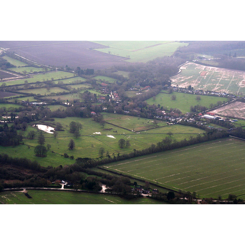
Image copyright © Chris, 2015
CC-BY-SA-2.0
Results: 1 records
view of context
Scene Description: Source caption: "Site of Legbourne Priory and Abbey".
Copyright Statement: Image copyright © Chris, 2015
Image Source: digital photograph taken 27 December 2015 by Chris [www.geograph.org.uk/photo/4775502] [accessed 26 December 2019]
Copyright Instructions: CC-BY-SA-2.0
INFORMATION
Font ID: 22114LEG
Object Type: Baptismal Font1?
Font Century and Period/Style: 12th century (mid?), Late Norman
Church / Chapel Name: Cistercian Priory Church [disappeared]
Font Location in Church: [disappeared]
Church Notes: Cistercian priory founded ca. 1150; dissolved 1539
Church Address: Legbourne, Louth, UK
Site Location: Lincolnshire, East Midlands, England, United Kingdom
Directions to Site: The site of the disappeared priory is believed to be located somewhere off (W) the A157, just W of the village of Legbourne, about 6 km SE of Louth
Ecclesiastic Region: [Diocese of Lincoln]
Historical Region: Hundred of Calcewath
Font Notes:
Click to view
There are two entries for Legbourne [variant spelling] in the Domesday survey [https://opendomesday.org/place/TF3684/legbourne/] [accesseed 25 April 2019] neither of which mentions cleric or church here. The entry for this priory in the Victoria County History (Lincoln, vol. 2, 1906) notes: "The priory of Legbourne was founded by Robert FitzGilbert [...] of Tathwell somewhere about 1150; it seems to have been built for the reception of some Cistercian nuns already formed into a convent at Carledale, [...] elsewhere called the ' nuns of Keddington ' [...] or of Hallington. [...] Having an income of less than £200 a year, this priory was dissolved before Michaelmas, 1536 [...] The house was not, however, entirely dismantled at the time of the outbreak of the Lincoln rebellion"; a "conventual church" here is mentioned in the context of a visitation of Bishop Alnwick in 1440. The entry for the site of Legbourne Priory in English Heritage [List Entry Number: 1011455] notes: "The monument includes the remains of Legbourne Priory, a Cistercian nunnery founded after 1150 and suppressed in 1536. [...] The earthworks of the Cistercian priory at Legbourne survive within a complex of ridge-and-furrow cultivation, trackways and water-control systems representing a part of the medieval landscape in which the nunnery was established. [...] The earthworks represent the remains of medieval fields associated with the priory."
COORDINATES
UTM: 31U 303139 5913859
Latitude & Longitude (Decimal): 53.3372, 0.043143
Latitude & Longitude (DMS): 53° 20′ 13.92″ N, 0° 2′ 35.32″ E
REFERENCES
- Victoria County History [online], University of London, 1993-. URL: https://www.british-history.ac.uk.