Nuncotham / Nun Cotham

Image copyright © David Wright, 2007
CC-BY-SA-2.0
Results: 2 records
view of context
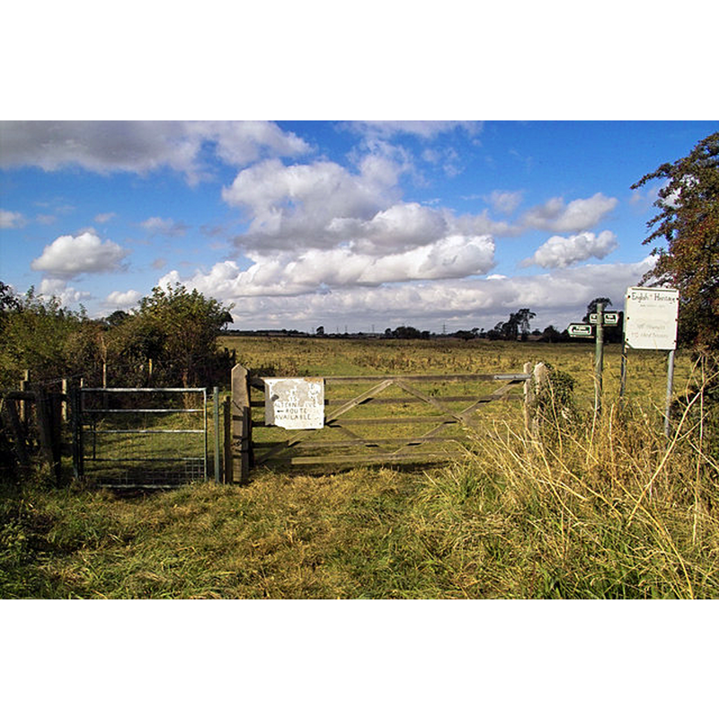
Scene Description: Source caption: "This hummocky field is the site of the priory of St. Mary at Nuncotham, a House of Cistercian nuns, which was founded c1147-1153 and dissolved in 1539."
Copyright Statement: Image copyright © David Wright, 2007
Image Source: digital photograph taken 2 October 2007 by David Wright [www.geograph.org.uk/photo/572391] [accessed 26 April 2019]
Copyright Instructions: CC-BY-SA-2.0
view of context
Scene Description: Source caption: "Site of the Priory of St. Mary, Nuncotham. A House of Cistercian nuns, the priory of St. Mary at Nuncotham was founded c1147-1153 and dissolved in 1539."
Copyright Statement: Image copyright © David Wright, 2007
Image Source: digital photograph taken 2 October 2007 by David Wright [www.geograph.org.uk/photo/572392] [accessed 26 April 2019]
Copyright Instructions: CC-BY-SA-2.0
INFORMATION
Font ID: 22113NUN
Object Type: Baptismal Font1?
Font Century and Period/Style: 12th century (mid?), Late Norman
Church / Chapel Name: Cistercian Priory Church [disappeared]
Font Location in Church: [disappeared]
Church Notes: church of the ca. 1150 priory here; dissolved 1539
Church Address: [address for the disappeared priory site: Nuncotham, Brocklesby, UK]
Site Location: Lincolnshire, East Midlands, England, United Kingdom
Directions to Site: The disappeared priory was located near Brocklesby, SE of the B1210-B1211 crossroads, 12-15 km WNW of Grimsby
Ecclesiastic Region: [Diocese of Lincoln]
Additional Comments: disappeared font? (the one from the mid-12thC disappeared priory church)
Font Notes:
Click to view
No individual entry found for Nuncotham in the Domesday survey. The entry for this priory in the Victoria County History (Lincoln, vol. 2, 1906) notes: "The priory of Nuncotham in Brocklesby parish was founded, probably in Stephen's reign, by Alan de Moncels, [...] in whose family the patronage long continued. The possessions of the nuns were confirmed to them by Henry II and John. [...] The priory was was from the first under the jurisdiction of the bishops of Lincoln [...] The income of the house at the last was under £50, so that it might have been dissolved under the first Act of Suppression. As a matter of fact, however, it stood till 9 July, 1539.
COORDINATES
UTM: 30U 681566 5940808
Latitude & Longitude (Decimal): 53.58463, -0.25701
Latitude & Longitude (DMS): 53° 35′ 4.67″ N, 0° 15′ 25.24″ W
REFERENCES
- Victoria County History [online], University of London, 1993-. URL: https://www.british-history.ac.uk.