Vaudey Abbey / De Valle Dei / Vallis Dei / Vandey Abbey / Vandy Abbey
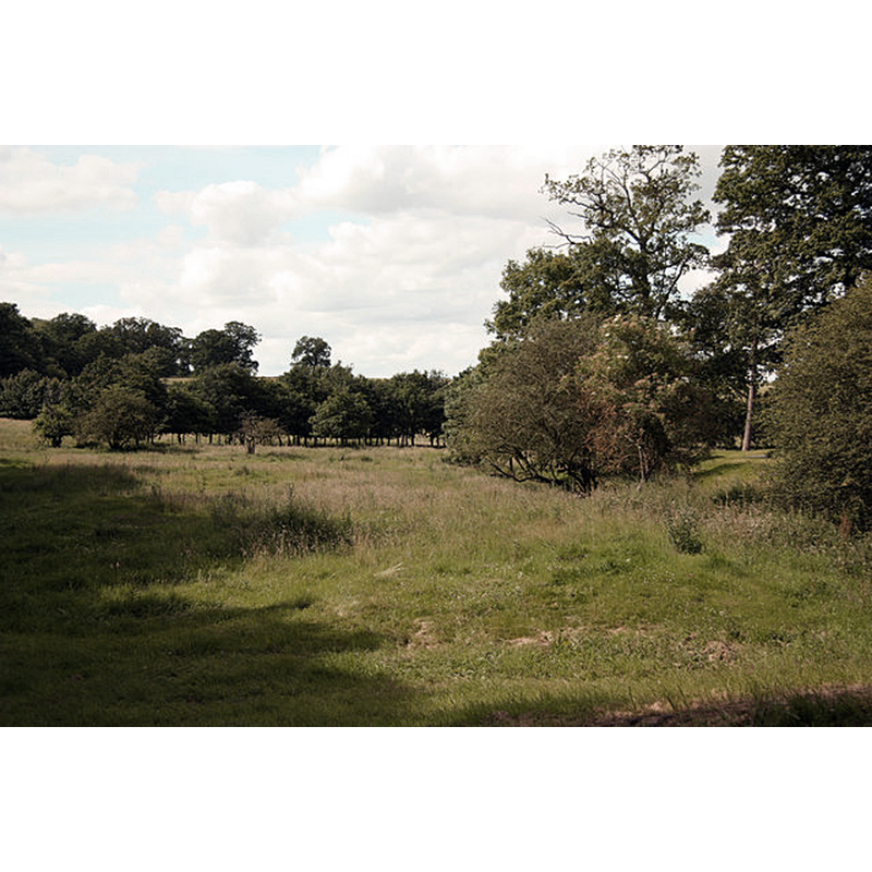
Image copyright © Richard Croft, 2012
CC-BY-SA-2.0
Results: 1 records
view of context
Scene Description: Source caption: "Site of Vaudey Abbey, a Cistercian Abbey founded by William, Count of Aumale and Earl of York in 1147. Monks from Fountain's Abbey first settled at Bytham near William's castle at Castle Bytham, but the land was found unsuitable and they moved to "Vallis Dei" (Valley of God) in 1149 where it remained until its dissolution in 1536. Over time, Vallis Dei has become Vaudey and this valley is known as The Vaudey."
Copyright Statement: Image copyright © Richard Croft, 2012
Image Source: digital photograph taken 12 July 2012 by Richard Croft [www.geograph.org.uk/photo/3037206] [accessed 23 April 2019]
Copyright Instructions: CC-BY-SA-2.0
INFORMATION
Font ID: 22108VAU
Object Type: Baptismal Font1?
Font Century and Period/Style: 12th century (mid?), Late Romanesque
Church / Chapel Name: Abbey Church [disappeared]
Font Location in Church: [disappeared]
Church Notes: Cistercian abbey founded 1147; suppressed 1536; some perimeter walls still standing in early-18thC; nothing remains above ground now
Church Address: [abbey site: Unnamed Road, Bourne PE10 0LZ, UK]
Site Location: Lincolnshire, East Midlands, England, United Kingdom
Directions to Site: The former abbey site is located off (E) the B1176 [aka Swinstead Rd], 1-2 km E of Swinstead, 6 km NW of Bourne, SE of Grantham
Ecclesiastic Region: [Diocese of Lincoln]
Additional Comments: disappeared font? (the one from the abbey church here)
Font Notes:
Click to view
No individual entry found for Vaudey in the Domesday survey. The Victoria County History (Lincoln, vol. 2, 1906) notes: "The abbey of Vaudey, or Vallis Dei, was founded in 1147 by William earl of Albemarle; like Kirkstead and Louth Park, it was a daughter house of Fountains Abbey [...] the house was dissolved in 1536." The entry for this abbey in Historic England PastScape [www.pastscape.org.uk/hob.aspx?hob_id=348506] [accessed 23 April 2019] notes: "Cistercian abbey founded in 1147, dissolved in 1536. The abbey is situated in Grimsthorpe Park together with quarries owned by the abbey. The quarries were also worked during the 18th century. Field investigations in 1965 and 1977 found the abbey site marked by grass covered mounds enclosed within coniferous plantations, the quarries were also identified."
COORDINATES
UTM: 30U 671002 5851059
Latitude & Longitude (Decimal): 52.782222, -0.464444
Latitude & Longitude (DMS): 52° 46′ 56″ N, 0° 27′ 52″ W
REFERENCES
- Victoria County History [online], University of London, 1993-. URL: https://www.british-history.ac.uk.