Revesby Abbey nr. Boston / Resuesbi/ Resvesbi
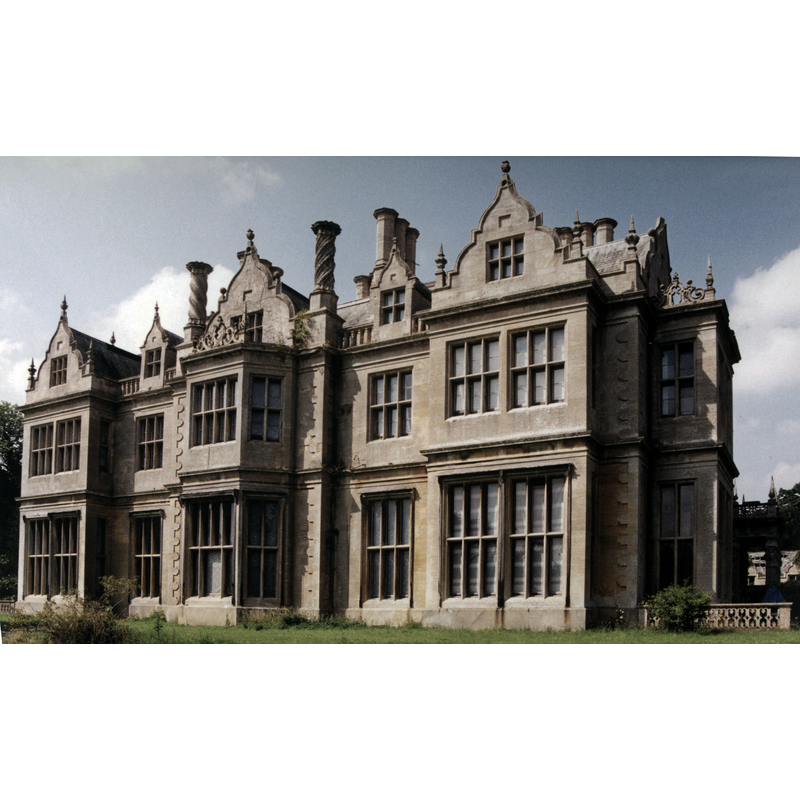
Image copyright © Acabashi, 2001
CC-BY-SA-4.0
Results: 1 records
view of context
Scene Description: Source caption: "photograph of the south-east of Revesby Abbey House on the site of the previous Revesby Abbey at Revesby, Lincolnshire, England".
Copyright Statement: Image copyright © Acabashi, 2001
Image Source: edited detail of a digital photograph taken in 2001 by Acabashi [https://commons.wikimedia.org/wiki/File:Revesby_Abbey_from_southeast_in_Lincolnshire_England_2001.jpg] [accessed 23 April 2019]
Copyright Instructions: CC-BY-SA-4.0
INFORMATION
Font ID: 22106REV
Object Type: Baptismal Font1?
Font Century and Period/Style: 12th century (mid?), Late Romanesque
Church / Chapel Name: Abbey Church of Revesby [demolished]
Font Location in Church: [disappeared]
Church Patron Saint(s): St. Mary the Virgin & St. Lawrence [aka Laurence]
Church Notes: Cistercian abbey founded 1142; reported "in great ruin and decay" in 1538; demolished after the Dissolution
Church Address: [address for the site: Abbey Road, Boston PE22 7NX, UK]
Site Location: Lincolnshire, East Midlands, England, United Kingdom
Directions to Site: The abbey site is located off (N) the A155, W of the B1183 [aka Boston Rd], 15 km N of Boston
Ecclesiastic Region: [Diocese of Lincoln]
Historical Region: Hundred of Bolingbroke
Additional Comments: disappeared font? (the one from the 12thC abbey church here)
Font Notes:
Click to view
There is an entry for Revesby [variant spelling] in the Domesday survey [https://opendomesday.org/place/TF2961/revesby/] [accessed 23 April 2019]; it reports two churches in it. The Victoria County History (Lincoln, vol. 2, 1906) notes a Cistercian abbey founded here dedicated in honour of St. Mary and St. Laurence, in 1142; "The last notice of the house that we possess is in 1538, when the Duke of Norfolk wrote to Cromwell that it was in great ruin and decay." There are no above ground visible remains now. The entry for the abbey ruins in Historic England [List Entry Number: 1000988] notes: "The ruins of the medieval Revesby Abbey with which the deer park was associated lie to the south-west, outside the boundary of the site here registered. It was the second Abbey, built by Craven Howard, and its associated estate which was purchased in 1714 by Joseph Banks I who undertook extensively remodelling between 1716 and 1718. The entry for the abbey in Historic England PastScape [www.pastscape.org.uk/hob.aspx?hob_id=352799] [accessed 23 April 2019] notes: "Excavations of the abbey has located the church and cloister and the associated inhumation cemetery."
COORDINATES
UTM: 30U 696676 5890585
Latitude & Longitude (Decimal): 53.128333, -0.060278
Latitude & Longitude (DMS): 53° 7′ 42″ N, 0° 3′ 37″ W
REFERENCES
- Victoria County History [online], University of London, 1993-. URL: https://www.british-history.ac.uk.