Lowick nr. Broughton-in-Furness / Laufwik / Lofwic / Lofwik / Lowyk
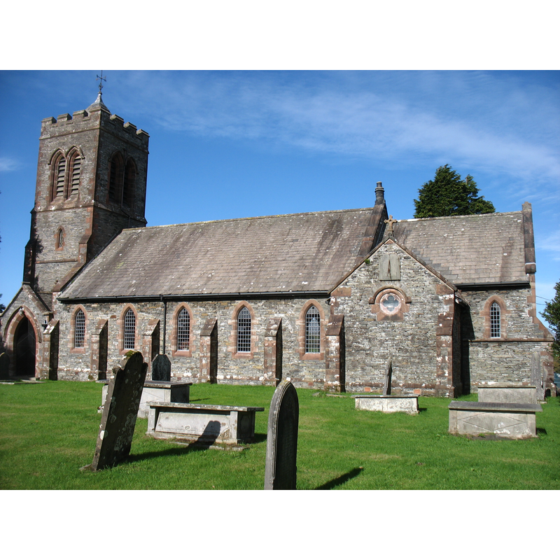
Image copyright © David Purchase, 2018
CC-BY-SA-2.0
Results: 1 records
view of church exterior - south view
Copyright Statement: Image copyright © David Purchase, 2018
Image Source: igital photograph taken 6 October 2018 by David Purchase [www.geograph.org.uk/photo/5937884] [accessed 9 April 2019]
Copyright Instructions: CC-BY-SA-2.0
INFORMATION
Font ID: 22085LOW
Object Type: Baptismal Font1?
Font Date: ca. 1292?
Font Century and Period/Style: 13th century, Decorated
Church / Chapel Name: Parish Church of St. Luke
Font Location in Church: [disappeared]
Church Patron Saint(s): St. Luke
Church Notes: present church 19thC, but earlier parochial chapel documented since ca. 1292
Church Address: Lowick Bridge, Ulverston LA12 8EE, UK
Site Location: Cumbria, North West, England, United Kingdom
Directions to Site: Located off (N) the A5092, E of Broughton-in-Furness
Ecclesiastic Region: Diocese of Carlisle
Historical Region: Hundred of Lonsdale -- Hundred of Amounderness [in Domesday] -- formerly Lancashire
Additional Comments: disappeared font? (the one from the original 13thC(?) parochial chapelry here)
Font Notes:
Click to view
No individual entry found for this Lowick in the Domesday survey. The entry for this township in the Victoria County History (Lancaster, vol. 8, 1914) refers to an allegation by Alan of Towers in 1292 "that he was wont to find his own chaplain to celebrate divine service daily in his chapel of St. Andrew in Lowick, the chaplain receiving the oblations and the candles given at the baptism of children and churching of women in return for 12 acres of land which the Prior of Conishead held of the grant of Alan's ancestors"; it later adds: "The chapel was rebuilt in 1817, [...] and this was replaced by the present St. Luke's, built on the old site in 1885. The parochial chapelry was made into a district chapelry in 1866." A footnote in the same VCH entry reports that, as a result of an earlier visitation inquiries, "it appears that considerable repairs were made about 1700, though then 'lately old and ruinous.' There was no font in 1707, though there were a communion table (not railed) and a bell. A stone font is named in 1729." [NB: we have no information on the font of the original parochial chapel here].
COORDINATES
UTM: 30U 494021 6013042
Latitude & Longitude (Decimal): 54.26529, -3.0918
Latitude & Longitude (DMS): 54° 15′ 55.04″ N, 3° 5′ 30.48″ W
REFERENCES
- Victoria County History [online], University of London, 1993-. URL: https://www.british-history.ac.uk.