Soltau / Curtis Salta / Soltouwe
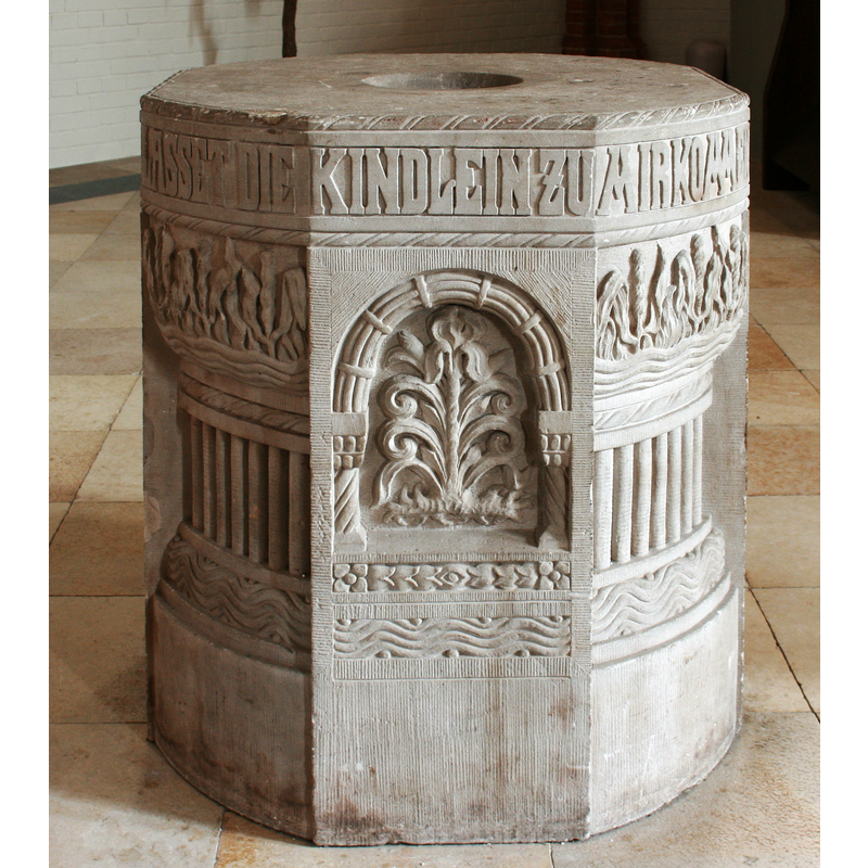
Image copyright © Frank Vincentz, 2009
GFDL / CC-BY-SA-3.0
Results: 5 records
view of font
Scene Description: the modern font
Copyright Statement: Image copyright © Frank Vincentz, 2009
Image Source: edited detail of a digital photograph taken 15 May 2009 by Frank Vincentz [https://commons.wikimedia.org/wiki/File:Soltau_-_Lutherkirche_in_04_ies.jpg] [accessed 30 March 2019]
Copyright Instructions: GFDL / CC-BY-SA-3.0
view of church exterior - southeast view
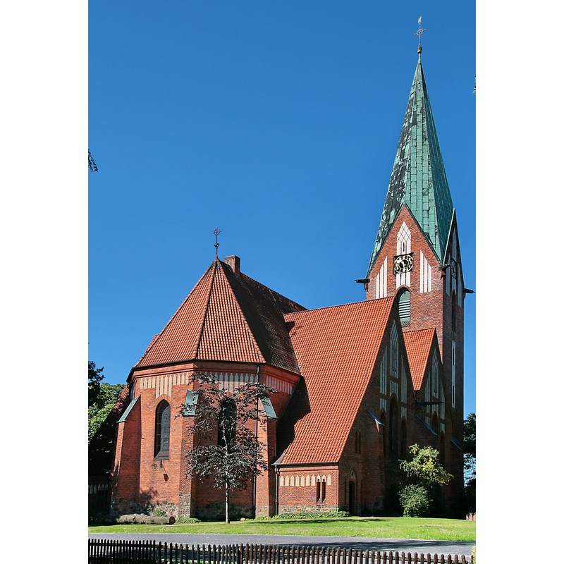
Copyright Statement: Image copyright © Etmot, 2008
Image Source: digital photograph taken 23 July 2008 by Etmot [https://commons.wikimedia.org/wiki/File:Luther-Kirche_Soltau_IMG_2159.jpg] [accessed 30 March 2019]
Copyright Instructions: CC-BY-SA-3.0
view of church exterior in context
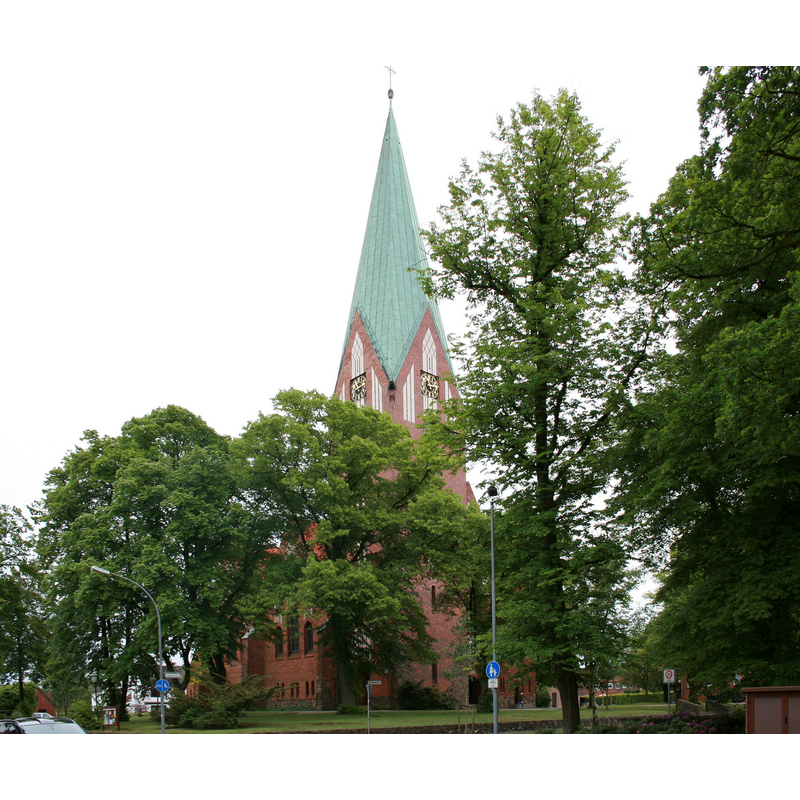
Copyright Statement: Image copyright © Frank Vincentz, 2009
Image Source: digital photograph taken 15 May 2009 by Frank Vincentz [https://commons.wikimedia.org/wiki/File:Soltau_-_Lutherkirche_ex_01_ies.jpg] [accessed 30 March 2019]
Copyright Instructions: GFDL / CC-BY-SA-3.0
view of church interior - nave - looking west
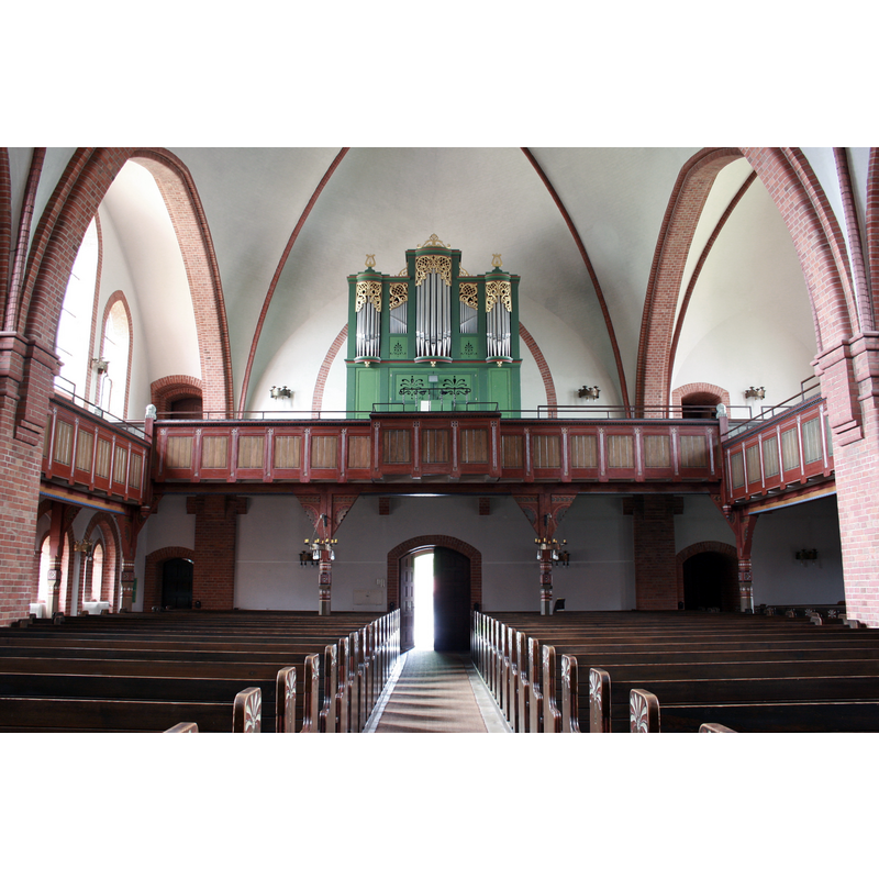
Copyright Statement: Image copyright © Frank Vincentz, 2009
Image Source: digital photograph taken 15 May 2009 by Frank Vincentz [https://commons.wikimedia.org/wiki/File:Soltau_-_Lutherkirche_in_09_ies.jpg] [accessed 30 March 2019]
Copyright Instructions: GFDL / CC-BY-SA-3.0
view of church interior - nave - looking east
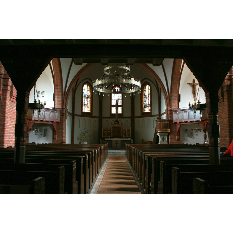
Copyright Statement: Image copyright © Frank Vincentz, 2009
Image Source: digital photograph taken 15 May 2009 by Frank Vincentz [https://commons.wikimedia.org/wiki/File:Soltau_-_Lutherkirche_in_01_ies.jpg] [accessed 30 March 2019]
Copyright Instructions: GFDL / CC-BY-SA-3.0
INFORMATION
Font ID: 22062SOL
Object Type: Baptismal Font1?
Font Date: ca, 1464?
Font Century and Period/Style: 15th century (mid?), Late Gothic
Church / Chapel Name: Lutherkirche in Soltau
Font Location in Church: [disappeared]
Church Patron Saint(s): [originally St. John]
Church Notes: On Christmas Eve 1906 a fire destroyed St. John's Church which had been mentioned in the records since 1464
Church Address: 29614 Soltau, Germany
Site Location: Heidekreis, Niedersachsen, Germany, Europe
Directions to Site: Located off road 71, W of highway 7, S of Hamburg, E of Bremen
Additional Comments: destroyed font? (the one from the church here documented ca. 1464)
Font Notes:
Click to view
The present font is modern [NB: we have no information on the font of the late-medieval church here; perhaps it was destroyed in the 1906 fire].
COORDINATES
UTM: 32U 556913 5871105
Latitude & Longitude (Decimal): 52.9865, 9.8478
Latitude & Longitude (DMS): 52° 59′ 11.4″ N, 9° 50′ 52.08″ E