Parbold / Douglas-in-Parbold / Iperbbolt / Perbald / Perbalt / Perbold / Perebolt
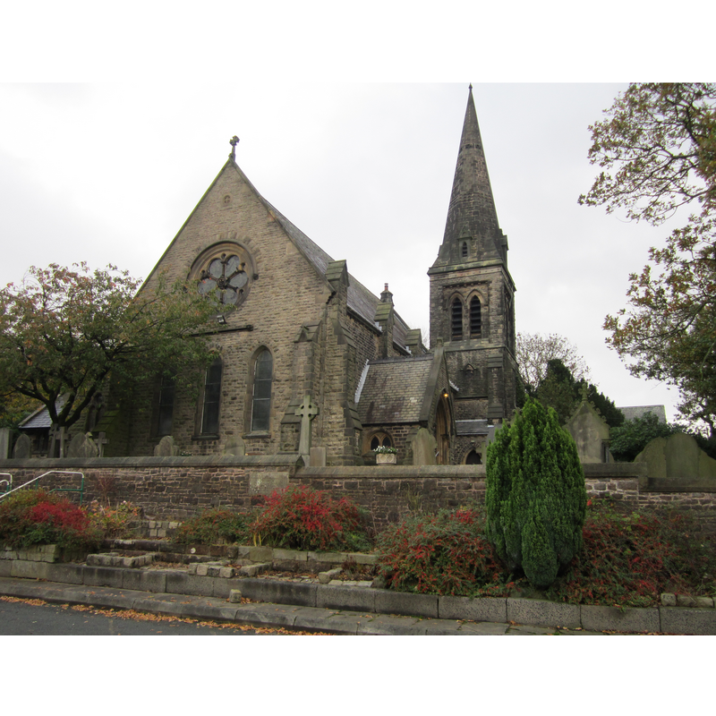
Image copyright © Rept0n1x, 2013
CC-BY-SA-3.0
Results: 1 records
view of church exterior
Scene Description: Christ Church is the latest re-building of the 13thC Hospitallers' chapel here
Copyright Statement: Image copyright © Rept0n1x, 2013
Image Source: digital photograph taken 2 November 2013 by Rept0n1x [https://commons.wikimedia.org/wiki/File:Christ_Church,_Douglas-in-Parbold_(3).JPG] [accessefd 13 March 2019]
Copyright Instructions: CC-BY-SA-3.0
INFORMATION
Font ID: 22026PAR
Object Type: Baptismal Font1?
Font Century and Period/Style: 13th century, Early English
Church / Chapel Name: Ancient Chapel of St. Mary [aka Douglas Chapel] [disappeared]
Font Location in Church: [disappeared]
Church Notes: present Christ Church is the latest re-building of the ancient Hospitallers' chapel here
Church Address: Parbold, Wigan WN8 7TH, UK
Site Location: Lancashire, North West, England, United Kingdom
Directions to Site: Located off the A5209, W of the M6, 11-12 km ENE of Ormskirk, NW of Wigan
Ecclesiastic Region: Diocese of Blackburn
Historical Region: Hundred of Leyland
Additional Comments: disappeared font? (the one from the 13thC(?) Hospitallers chapel here)
Font Notes:
Click to view
No individual entry for Parbold found in the Domesday survey. The entry for this township in the Victoria County History (Lancaster, vol. 6, 1911) notes: "The ancient chapel of St. Mary, now destroyed, [...] was known as DOUGLAS CHAPEL. It was probably built by the Hospitallers for the use of their tenants [...] in 1650 the Commonwealth surveyors found that [...] it was in regular use [...] The building was replaced by the present Christ Church in 1875, and was taken down in 1878"; no font mentioned.
COORDINATES
UTM: 30U 516349 5938016
Latitude & Longitude (Decimal): 53.59073, -2.753
Latitude & Longitude (DMS): 53° 35′ 26.63″ N, 2° 45′ 10.8″ W
REFERENCES
- Victoria County History [online], University of London, 1993-. URL: https://www.british-history.ac.uk.