Blackrod / Blacherode / Blacrode / Blakerodein
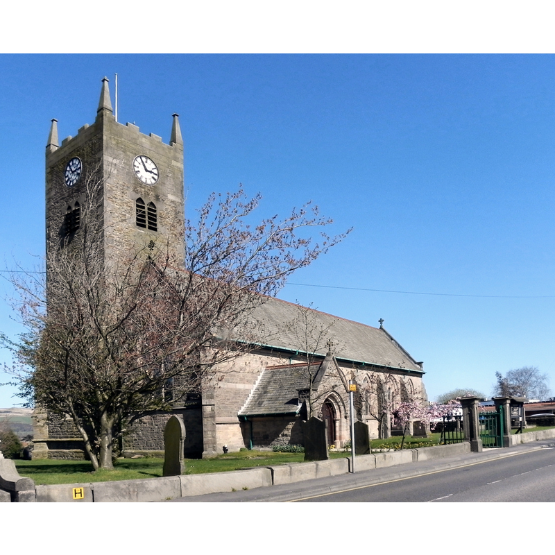
Image copyright © David Dixon, 2011
CC-BY-SA-2.0
Results: 2 records
view of church exterior - southwest view
Scene Description: Source caption: "The Parish Church of Saint Katharine Blackrod [...] The first recorded evidence of a church in Blackrod is in the Manchester Diocesan Calendar which says that a church existed in 1138. Most of the present church was rebuilt in the early 1900s, replacing an earlier church. The oldest part of the church is the lower tower which was part of a church built during the reign of Elizabeth I."
Copyright Statement: Image copyright © David Dixon, 2011
Image Source: edited detail of a digital photograph taken 8 April 2011 by David Dixon [www.geograph.org.uk/photo/2350688] [accessed 11 March 2019]
Copyright Instructions: CC-BY-SA-2.0
view of church exterior in context - northeast view
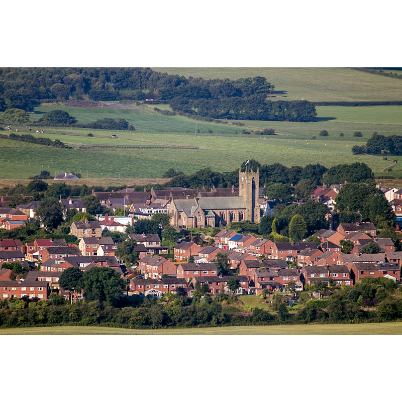
Scene Description: Source caption: "Part of Blackrod, Greater Manchester, seen from the northeast from Winter Hill, showing St Katharine's parish church".
Copyright Statement: Image copyright © Stevelaycock21, 2017
Image Source: digital photograph taken 17 July 2017 by Stevelaycock21 [https://commons.wikimedia.org/wiki/File:St_Katharines_from_Winterhill.jpg] [accessed 11 March 2019]
Copyright Instructions: CC-BY-SA-4.0
INFORMATION
Font ID: 22023BLA
Object Type: Baptismal Font1?
Font Century and Period/Style: 14th century, Decorated
Church / Chapel Name: Parish Church of St. Katherine [aka St. Catherine's]
Font Location in Church: [disappeared]
Church Patron Saint(s): St. Catherine of Alexandria [aka Katherine]
Church Address: Church St, Blackrod, Bolton BL6 5EN, UK -- Tel.: +44 1204 469220
Site Location: Greater Manchester, North West, England, United Kingdom
Directions to Site: Located off (W) the M61, 8-10 km WNW of Bolton
Ecclesiastic Region: Diocese of Manchester
Historical Region: Hundred of Salford
Additional Comments: disappeared font? (the one from the 14thC church here)
Font Notes:
Click to view
No individual entry found for Blackrod in the Domesday survey. The entry for this township in the Victoria County History (Lancaster, vol. 5, 1911) notes: "Dame Mabel de Bradshagh in 1338 gave an endowment for a chantry priest in the chapel of ST. CATHERINE, then newly-built"; no font mentioned. The entry for this church in Historic England [Listing NGR: SD6131811065] notes: "Church. Lowest stage of tower early C16, 2nd stage has date stones, one to window sill inscribed: "MT 1638/NT", one to external steps dated 1647. 3rd stage C18, top has date 1837 to pinnacles. Nave, chancel and north aisle, 1909-11 [...] Next to porch is font; square base dated 1775, baluster and bell-shaped bowl."
COORDINATES
UTM: 30U 527440 5938552
Latitude & Longitude (Decimal): 53.59508, -2.5854
Latitude & Longitude (DMS): 53° 35′ 42.29″ N, 2° 35′ 7.44″ W