Walmsley in Egerton
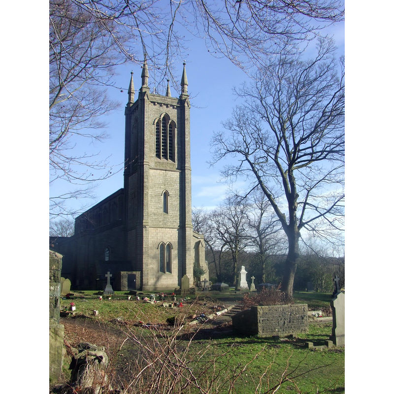
Image copyright © Andrew Gritt, 2010
CC-BY-SA-2.0
Results: 1 records
view of church exterior - northwest view
Scene Description: 19thC re-building of a pre-1500 chapel of ease in the parish of Bolton-le-Moors
Copyright Statement: Image copyright © Andrew Gritt, 2010
Image Source: digital photograph taken 11 February 2010 by Andrew Gritt [www.geograph.org.uk/photo/1704909] [accessed 11 March 2019]
Copyright Instructions: CC-BY-SA-2.0
INFORMATION
Font ID: 22022WAL
Object Type: Baptismal Font1?
Font Century and Period/Style: Medieval
Church / Chapel Name: Old Chapel-of-ease [demolished 1839] [now Christ Church]
Font Location in Church: [disappeared]
Church Notes: traces of pre-Conquest Greek-cross building unearthed in early 20thC; pre-1500 chapel of ease in the parish of Bolton-le-Moors; re-built 1771; demolished 1839; re-built in the same year on a new site
Church Address: Blackburn Rd, Egerton, Bolton BL7 9SA, UK
Site Location: Greater Manchester, North West, England, United Kingdom
Directions to Site: Located off (W) the A666, 10 km N of Bolton
Ecclesiastic Region: Diocese of Manchester
Historical Region: Hundred of Salford
Additional Comments: disappeared font? (the one from the medieval(?) church here)
Font Notes:
Click to view
No individual entry found for Walmsley in the Domesday survey. The Victoria County History (Lancaster, vol. 5, 1911) notes that there was a chapel at Walmsley by 1532. Present font, bearing dedication date of 1845, originally from Bolton Parish Church. [NB: we have no information on the font of the earlier church here]
COORDINATES
UTM: 30U 537111 5941791
Latitude & Longitude (Decimal): 53.6236, -2.4389
Latitude & Longitude (DMS): 53° 37′ 24.96″ N, 2° 26′ 20.04″ W
REFERENCES
- Victoria County History [online], University of London, 1993-. URL: https://www.british-history.ac.uk.