Bury nr. Manchester / Buri / Byri
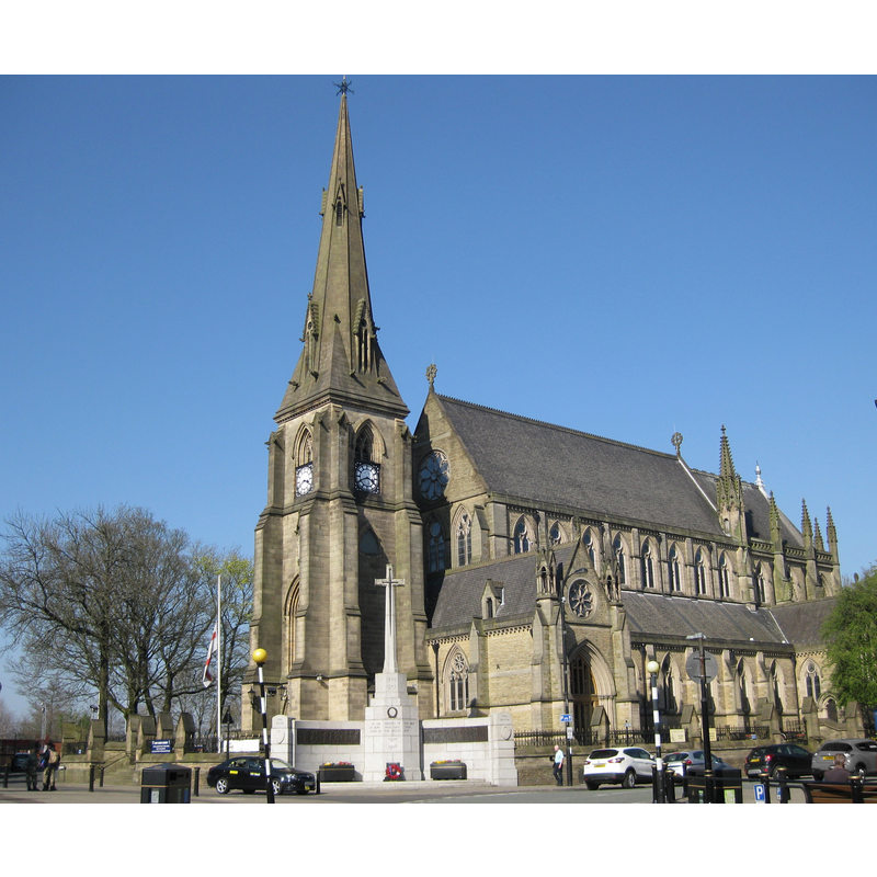
Image copyright © Chemical Engineer, 2017
CC-BY-SA-4.0
Results: 2 records
view of church exterior - southwest view
Scene Description: 19thC re-building of the medieval church
Copyright Statement: Image copyright © Chemical Engineer, 2017
Image Source: digital photograph taken 8 April 2017 by Chemical Engineer [https://commons.wikimedia.org/wiki/File:Bury_Parish_Church_08_April_2017.jpg] [accessed 8 March 2019]
Copyright Instructions: CC-BY-SA-4.0
view of church interior - looking east
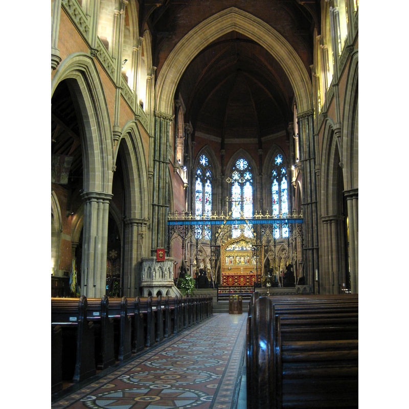
Scene Description: 19thC re-building of the medieval church
Copyright Statement: Image copyright © Chemical Engineer, 2017
Image Source: digital photograph taken 8 April 2017 by Chemical Engineer [https://commons.wikimedia.org/wiki/File:Bury_Parish_Church_08_April_2017_interior_1.jpg] [accessed 8 March 2019]
Copyright Instructions: CC-BY-SA-4.0
INFORMATION
Font ID: 22017BUR
Object Type: Baptismal Font1
Font Century and Period/Style: 12th century, Late Norman
Church / Chapel Name: Parish Church of St Mary the Virgin
Font Location in Church: [disappeared]
Church Patron Saint(s): St. Mary the Virgin
Church Address: The Rock, Bury BL9 0AH, Greater Manchester, UK
Site Location: Greater Manchester, North West, England, United Kingdom
Directions to Site: Located off (N) the A58, 9 km E of Bolton, 13 km NW of Manchester
Ecclesiastic Region: Diocese of Manchester
Historical Region: Hundred of Blackburn -- formerly in Lancashire
Additional Comments: disappeared font? (the one from the 12thC church here)
Font Notes:
Click to view
No individual entry found for this Bury in the Domesday survey. The entry for this township in the Victira County History (Lancaster, vol. 5, 1911) notes: "The church of Bury is known to have existed at the end of the 12th century. [...] A church is said to have been built here in the 13th century, and restored or rebuilt about 1535; but it had fallen into a state of decay by the middle of the 18th century, and in the year 1773 was taken down, with the exception of the tower, and a new building erected between the years 1773 and 1780"; no font mentioned. The entry for this church in Historic England [Listing NGR: SD8043310863] notes: "Church. Of medieval origin, but entirely rebuilt in the C19 with tower and spire of 1844-5 [...] tall architectural cover to stone font", but does not mention anything else about the font itself.
COORDINATES
UTM: 30U 546522 5938581
Latitude & Longitude (Decimal): 53.594, -2.2971
Latitude & Longitude (DMS): 53° 35′ 38.4″ N, 2° 17′ 49.56″ W
REFERENCES
- Victoria County History [online], University of London, 1993-. URL: https://www.british-history.ac.uk.