Radcliffe / Radclive / Radeclif / Radecliue / Radeclive
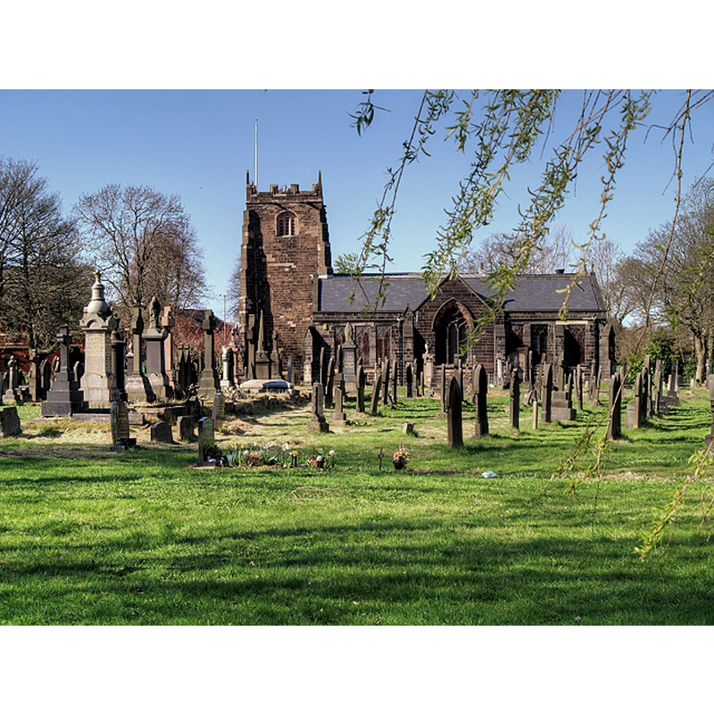
Image copyright © David Dixon, 2015
CC-BY-SA-2.0
Results: 2 records
view of church exterior - south view
Scene Description: Source caption: "Radcliffe Parish Church, St Mary's. A church has existed on the present site for over 1000 years, since Saxon times and the church structure has been adapted and modified over the years. The oldest part of the church still in existence today is thought to be the Nave, built in the early 15th century by James de Radcliffe, the Lord of the Manor at the time. The Tower was rebuilt in 1665, and some of the original features were incorporated in the new tower during the rebuilding."
Copyright Statement: Image copyright © David Dixon, 2015
Image Source: digital photograph taken 18 April 2015 by David Dixon [www.geograph.org.uk/photo/4442482] [accessed 8 March 2019]
Copyright Instructions: CC-BY-SA-2.0
view of church interior - chancel and east end
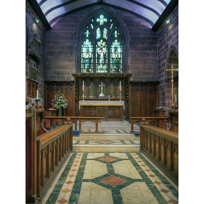
Copyright Statement: Image copyright © David Dixon, 2015
Image Source: digital photograph taken 18 April 2015 by David Dixon [www.geograph.org.uk/photo/4442460] [accessed 8 March 2019]
Copyright Instructions: CC-BY-SA-2.0
INFORMATION
Font ID: 22015RAD
Object Type: Baptismal Font1?
Church / Chapel Name: Parish Church of St Mary [formerly St Mary and St Bartholomew]
Font Location in Church: [disappeared]
Church Patron Saint(s): St. Mary the Virgin [formerly St. Mary the Virgin & St. Bartholomew]
Church Notes: present church 14thC; tower added 15thC; restored 2008-2009
Church Address: 8 Church Green, Radcliffe, Manchester M26 2QA, UK
Site Location: Greater Manchester, North West, England, United Kingdom
Directions to Site: Located off (S) the A6053), 4 km SW of Bury, 10 km NW of Manchester
Ecclesiastic Region: Diocese of Manchester
Historical Region: Hundred of Salford -- formerly Lancashire
Additional Comments: disappeared? (the one from the Domesday-time church here)
Font Notes:
Click to view
There is an entry for Radcliffe [variant spelling] in the Domesday survey [https://opendomesday.org/place/SD7807/radcliffe/] [accessed 8 March 2019]; it reports two churches and "1.0 church lands" in it. The enrty for this township in the Victoria County History (Lancaster, vol. 5, 1911) notes: "The original church may have been a rectangular 12th century building covering the area of the present nave, with a small square-ended chancel. In the 13th century a new chancel, of which the western arch still remains, was built round the former one, and in the 14th century transepts were added to the nave, their length suggesting that the nave may by this time have had aisles. A tower may have been built towards the end of the 14th or beginning of the 15th century against the end of the original nave. [...] The fittings are all modern [...] The font, which is early modern Gothic, has a canopy (dated 1858) raised by a chain pulley and cannon-ball weight." The entry for this church in Historic England [Listing NGR: SD7969307580] notes: "C14, C15, C17 and C19. Chancel arch of Decorated period"; no font mentioned. [NB: we have no information on the font(s) of the medieval church(es) here].
COORDINATES
UTM: 30U 545825 5935275
Latitude & Longitude (Decimal): 53.564346, -2.308112
Latitude & Longitude (DMS): 53° 33′ 51.65″ N, 2° 18′ 29.2″ W
REFERENCES
- Victoria County History [online], University of London, 1993-. URL: https://www.british-history.ac.uk.