Horwich / Harewych / Horewyche
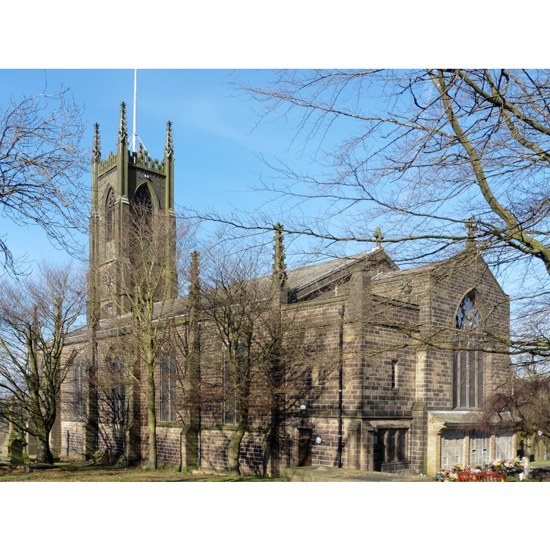
Image copyright © Dave Kelly, 2018
CC-BY-SA-2.0
Results: 2 records
view of church exterior - southeast view
Scene Description: the modern Parish Church of the Holy Trinity
Copyright Statement: Image copyright © Dave Kelly, 2018
Image Source: digital photograph taken 24 February 2018 by Dave Kelly [www.geograph.org.uk/photo/5913352] [accessed 7 March 2019]
Copyright Instructions: CC-BY-SA-2.0
view of church exterior in context - south view
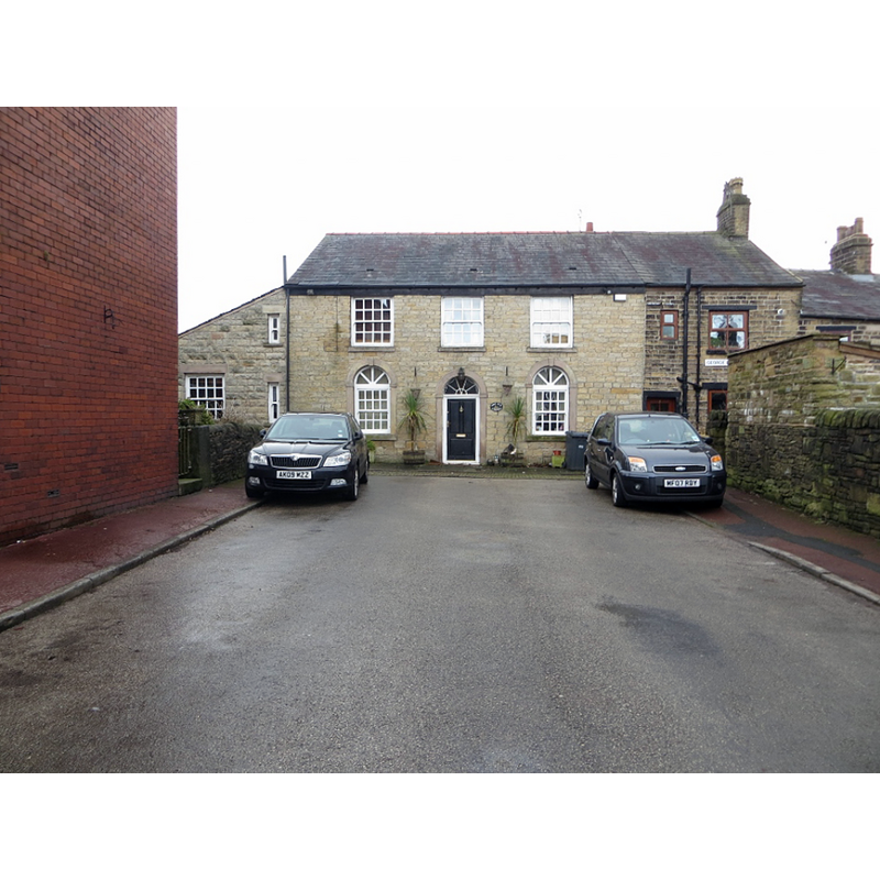
Scene Description: Source caption: "The Old Chapel, Horwich. At the end of Chapel Street, the house was once a chapel."
Copyright Statement: Image copyright © Philip Platt, 2014
Image Source: digital photograph taken 14 January 2014 by Philip Platt [www.geograph.org.uk/photo/23813449] [accessed 7 March 2019]
Copyright Instructions: CC-BY-SA-2.0
INFORMATION
Font ID: 22013HOR
Object Type: Baptismal Font1?
Church / Chapel Name: Old Chapel, Horwich
Font Location in Church: [disappeared]
Church Address: address and coordinates of the modern church: Cooke St, Horwich, Bolton, UK
Site Location: Greater Manchester, North West, England, United Kingdom
Directions to Site: Located off the B6226, 8.5 km SW of Chorley, 10 km NW of Bolton, 32 km NW of Manchester.
Ecclesiastic Region: Diocese of Manchester
Historical Region: formerly Lancashire
Font Notes:
Click to view
No individual entry for Horwich found in the Domesday survey. The entry for this township in the Victoria County History (Lancaster, vol. 5, 1911) notes: "A chapel of ease existed at Horwich before the Reformation, for in 1552 it was found provided with the ornaments for saying mass. [...] rebuilt in 1779, [...] and the new one having fallen into decay was taken down when the present church of the Holy Trinity was opened in 1831 [...] on an adjacent site"; no font mentioned.
COORDINATES
UTM: 30U 530614 5939018
Latitude & Longitude (Decimal): 53.5991, -2.5374
Latitude & Longitude (DMS): 53° 35′ 56.76″ N, 2° 32′ 14.64″ W
REFERENCES
- Victoria County History [online], University of London, 1993-. URL: https://www.british-history.ac.uk.