St. Dionys in Barum
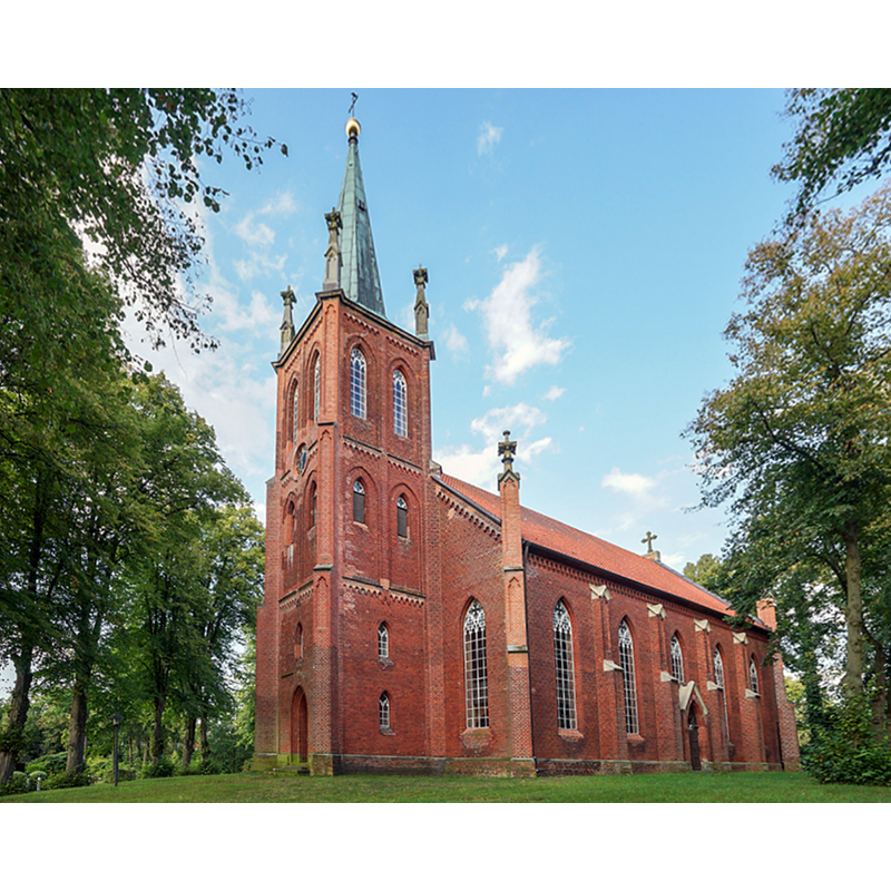
Image copyright © B. Neß, 2019
No known copyright restriction / Fair Dealing
Results: 2 records
view of church exterior - southwest view
Copyright Statement: Image copyright © B. Neß, 2019
Image Source: edited detail of a digital photograph by B. Neß in the Ev.-luth. Kirchenkreis Lüneburg [www.kirchenkreis-lueneburg.de/ihre_gemeinden/kirchengemeinden_land/stdionys/kirche_stdionys] [accessed 24 February 2019]
Copyright Instructions: No known copyright restriction / Fair Dealing
view of church interior - nave - looking east
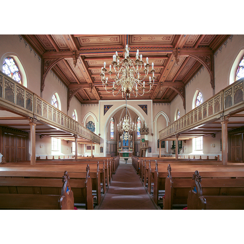
Copyright Statement: Image copyright © B. Neß, 2019
Image Source: edited detail of a digital photograph by B. Neß in the Ev.-luth. Kirchenkreis Lüneburg [www.kirchenkreis-lueneburg.de/ihre_gemeinden/kirchengemeinden_land/stdionys/kirche_stdionys] [accessed 24 February 2019]
Copyright Instructions: No known copyright restriction / Fair Dealing
INFORMATION
Font ID: 21990BAR
Object Type: Baptismal Font1
Font Century and Period/Style: 17th century
Church / Chapel Name: Evangelish-Lutherische St. Dionysiuskirche zu St. Dionys
Font Location in Church: Inside the church
Church Patron Saint(s): St. Denys [aka Denis, Dennis, Dionis, Dyonisius]
Church Notes: legend has Charlemagne founding a chapel here in 795; 17thC church demolished 1857; new church built 1860
Church Address: Barbarossaweg 2, 21357 St-Dionys, Barum, Germany -- Tel.: 04133/7194
Site Location: Lüneburg, Niedersachsen, Germany, Europe
Directions to Site: Located betwee the 404 (W) and the 209 (E), S of the Elbe river, 11-12 km N of Lüneburg
Historical Region: Lüneburger Elbmarsch
Additional Comments: disappeared font? (the one from the medieval church here)
Font Notes:
Click to view
According to the entry for this church in the Ev.-luth. Kirchenkreis Lüneburg [www.kirchenkreis-lueneburg.de/ihre_gemeinden/kirchengemeinden_land/stdionys/kirche_stdionys] [accessed 24 February 2019], the present font was retained from the earlier 17th-century church here. [NB: we have no information on the font of the earlier medieval church].
COORDINATES
UTM: 32U 593593 5912344
Latitude & Longitude (Decimal): 53.351944, 10.406111
Latitude & Longitude (DMS): 53° 21′ 7″ N, 10° 24′ 22″ E