Warmsworth / Wemesford / Wermesford / Wernesford / Wormsford
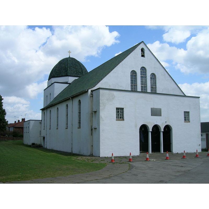
Image copyright © JThomas, 2011
CC-BY-SA-2.0
Results: 2 records
view of church exterior - northwest view
Copyright Statement: Image copyright © JThomas, 2011
Image Source: digital photograph taken 24 May 2011 by JThomas [www.geograph.org.uk/photo/2425563] [accessed 3 December 2018]
Copyright Instructions: CC-BY-SA-2.0
view of church exterior - southeast view
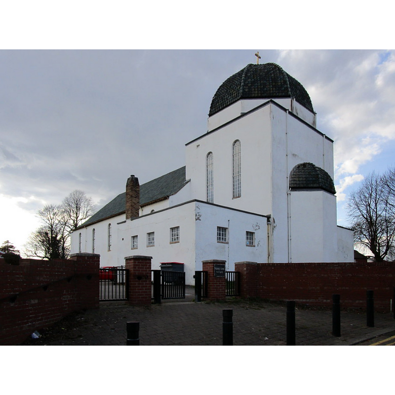
Scene Description: Source caption: "St. Peter's church, Warmsworth. Built 1939-42 to a design by C.M. Cooper with technical supprt from Grantham, Brundell and Farran engineers"
Copyright Statement: Image copyright © Jonathan Thacker, 2018
Image Source: digital photograph taken 25 March 2018 by Jonathan Thacker [www.geograph.org.uk/photo/5716403] [accessed 3 December 2018]
Copyright Instructions: CC-BY-SA-2.0
INFORMATION
Font ID: 21911WAR
Object Type: Baptismal Font1?
Font Century and Period/Style: 11th century, Pre-Conquest? / Norman
Church / Chapel Name: Parish Church of St. Peter
Font Location in Church: [disappeared]
Church Patron Saint(s): St. Peter
Church Address: Warmsworth Rd, Warmsworth, Doncaster DN4 0TW, UK -- Tel.: (01302) 853324
Site Location: South Yorkshire, Yorkshire and the Humber, England, United Kingdom
Directions to Site: Located off the A630-A1(M) crossroads, 5 km SW of Doncaster
Ecclesiastic Region: Diocese of Sheffield
Historical Region: Hundred of Strafforth -- formerly WRYrks
Additional Comments: disappeared font? (the one from the Domesday-time church here)
Font Notes:
Click to view
There are two entries for Warmsworth [variant spellings] in the Domesday survey [http://opendomesday.org/place/SE5400/warmsworth/] [accessed 3 December 2018], one of which reports a priest and a church in it. The modern church of 1940 is listed in Historic England [List Entry Number: 1096038].
COORDINATES
UTM: 30U 621583 5929413
Latitude & Longitude (Decimal): 53.4996, -1.167
Latitude & Longitude (DMS): 53° 29′ 58.56″ N, 1° 10′ 1.2″ W