Kirmond-le-Mire / Chevremont / Chevremont-le-myrr / Kevermond
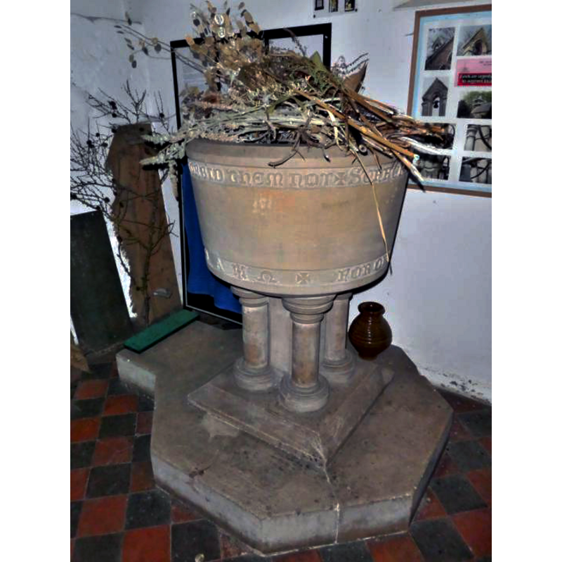
Image copyright © Society for Lincolnshire History and Archaeology, 2018
Stqanding permission
Results: 3 records
view of font
Scene Description: Source caption: "Kirmond le Mire, St Martin [...] C19 font decorated for the harvest festival."
Copyright Statement: Image copyright © Society for Lincolnshire History and Archaeology, 2018
Image Source: digital photograph taken 10 October 2018 by Dean Bird, in the Society for Lincolnshire History and Archaeology [http://www.slha.org.uk/photogallery/?thistopic=Churches_InteriorFonts] [accessed 2 December 2018]
Copyright Instructions: Stqanding permission
view of church exterior - southwest view
![Source caption: "[...] Little is known about the previous church which probably dated back to Norman times. The medieval church was partly demolished in the 17th century, although it had been previously well-kept at the end of Queen Elizabeth I reign. The present church was built in 1847 by W A Nicholson. [...]"](/static-50478a99ec6f36a15d6234548c59f63da52304e5/compressed/1181202001_compressed.png)
Scene Description: Source caption: "[...] Little is known about the previous church which probably dated back to Norman times. The medieval church was partly demolished in the 17th century, although it had been previously well-kept at the end of Queen Elizabeth I reign. The present church was built in 1847 by W A Nicholson. [...]"
Copyright Statement: Image copyright © J. Hannan-Briggs, 2013
Image Source: digital photograph taken 1 January 2013 by J. Hannan-Briggs [www.geograph.org.uk/photo/3283633] [accessed 2 December 2018]
Copyright Instructions: CC-BY-SA-2.0
view of church interior - nave - looking east
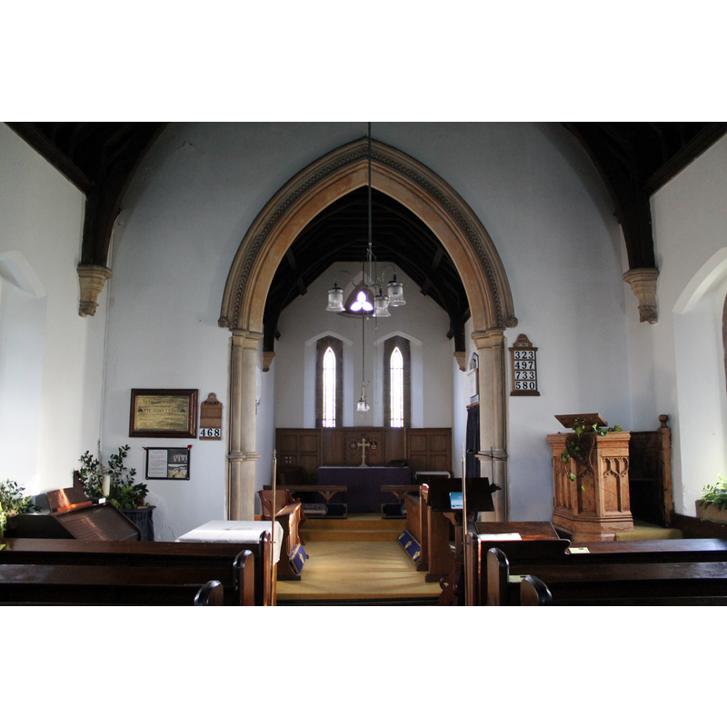
Copyright Statement: Image copyright © J. Hannan-Briggs, 2013
Image Source: digital photograph taken 1 January 2013 by J. Hannan-Briggs [www.geograph.org.uk/photo/3283647] [accessed 2 December 2018]
Copyright Instructions: CC-BY-SA-2.0
INFORMATION
Font ID: 21908KIR
Object Type: Baptismal Font1?
Font Century and Period/Style: 11th century, Pre-Conquest? / Norman
Church / Chapel Name: Parish Church of St. Martin
Font Location in Church: [disappeared]
Church Address: Main St, Kirmond le Mire, Market Rasen LN8 6HZ, UK
Site Location: Lincolnshire, East Midlands, England, United Kingdom
Directions to Site: Located off (S) the B1203, 10 km E of Market Rasen, 18 km SW of Grimsby
Ecclesiastic Region: Diocese of Lincoln
Historical Region: Hundred of Wraggoe
Additional Comments: disappeared font? (the one from the Domesday-time church here)
Font Notes:
Click to view
There is an entry for Kirmond [-le-Mire] [variant spelling] in the Domesday survey [https://opendomesday.org/place/TF1892/kirmond-le-mire/] [accessed 2 December 2018]; it reports a church in it. The entry for this church in Historic England [Listing NGR: TF1854492626] notes: "Parish Church. 1847 by W A Nicholson. [...] C19 fittings". [NB: we have no information on the font of the Domesday-time church here; the medieval church is said to have been demolished in the 17th century].
Credit and Acknowledgements: We are grateful to Ken Redmore, Website Editor, and Dean Bird, of the Society for Lincolnshire History and Archaeology, for the photograph of this font
COORDINATES
UTM: 30U 685008 5922304
Latitude & Longitude (Decimal): 53.4173, -0.216
Latitude & Longitude (DMS): 53° 25′ 2.28″ N, 0° 12′ 57.6″ W