Thrybergh / Triberga
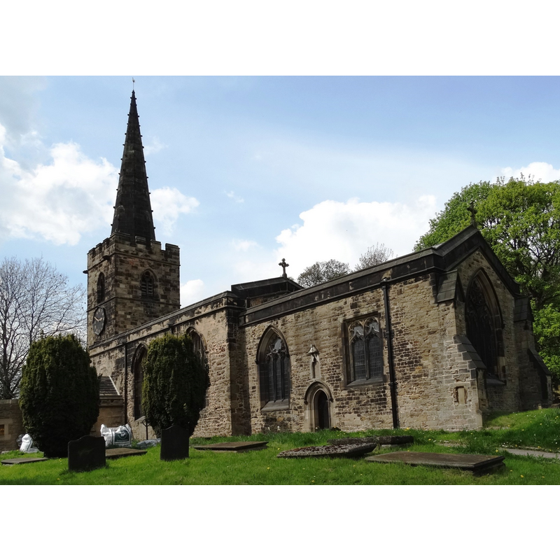
Image copyright © Neal Theasby, 2014
CC-BY-SA-2.0
Results: 1 records
view of church exterior - south view
Scene Description: EXT SE digital photograph taken 24 April 2014 by Neil Theasby [www.geograph.org.uk/photo/3948181] [accessed 27 November 2018]
Copyright Statement: Image copyright © Neal Theasby, 2014
Image Source: digital photograph taken 24 April 2014 by Neil Theasby [www.geograph.org.uk/photo/3948181] [accessed 27 November 2018]
Copyright Instructions: CC-BY-SA-2.0
INFORMATION
Font ID: 21905THR
Object Type: Baptismal Font1
Church / Chapel Name: Parish Church of St. Leonard
Font Location in Church: [disappeared]
Church Patron Saint(s): St. Leonard
Church Notes: church here documented late-12thC; arguments that the cross shaft (?) in the churchyard is Anglo-Saxon are debatable and it may be post-Conquest
Church Address: Doncaster Road, Thrybergh, Rotherham S65 4HN, UK -- Tel.: 01709 290724
Site Location: West Yorkshire, Yorkshire and the Humber, England, United Kingdom
Directions to Site: Located off the A630, 4-5 km NE of Rotherham
Ecclesiastic Region: Diocese of Sheffield
Historical Region: Hundred of Strafforth -- formerly WRYrks
Font Notes:
Click to view
There is an entry for Thrybergh [variant spelling] in the Domesday survey [http://opendomesday.org/place/SK4695/thrybergh/] [accessed 27 November 2018] but it mentions neither cleric nor church in it. The entry for this church in Historic England [Listing NGR: SK4668795489] notes: "Church. C11 and C12 nave with C15-style windows; chancel C14; tower C15; all much restored 1871 and 1894; vestry block added 1970 by Pace
of York"; no font mentioned in it, and it is not mentioned in Harman & Pevsner (2017) either.
of York"; no font mentioned in it, and it is not mentioned in Harman & Pevsner (2017) either.
COORDINATES
UTM: 30U 613080 5924193
Latitude & Longitude (Decimal): 53.4546, -1.297
Latitude & Longitude (DMS): 53° 27′ 16.56″ N, 1° 17′ 49.2″ W