Kirklees Priory
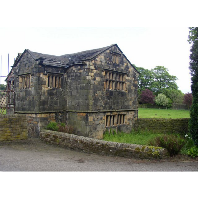
Image copyright © Humohrey Bolton, 2006
CC-BY-SA-2.0
Results: 1 records
view of context
Scene Description: Source caption: "Kirklees Priory Gatehouse, Clifton [...] The part seen here is a late 16C or early 17C addition to the early 16C building (see other photo for this). It might have been the farm manager's house. The transfomed window on the first floor is the only one of this type amongst the farm buildings."
Copyright Statement: Image copyright © Humohrey Bolton, 2006
Image Source: digital photograph taken 29 May 2006 by Humphrey Bolton [www.geograph.org.uk/photo/177762] [accessed 14 November 2018]
Copyright Instructions: CC-BY-SA-2.0
INFORMATION
Font ID: 21880KIR
Object Type: Baptismal Font1?
Font Date: ca. 1155?
Font Century and Period/Style: 12th century (mid?), Late Norman
Church / Chapel Name: Priory Church of St. Mary and St. James [demolished]
Font Location in Church: [disappeared]
Church Patron Saint(s): St. Mary the Virgin & St. James
Church Notes: priory founded 1155; dissolved 1535; priory church demolished 1539
Church Address: Kirklees Park, Clifton near Brighouse HD6 4HD, UK
Site Location: West Yorkshire, Yorkshire and the Humber, England, United Kingdom
Directions to Site: Located off (E) the M62-A644 crossroads, just E of Clinton, 3-4 km E of Brighouse, 7-8 km WNW of Dewsbury
Font Notes:
Click to view
No individual entry found for Kirklees in the Domesday survey. The entry for this Cistercian priory in the Victoria County History (York, vol. 3, 1974) informs that the priory of Cistercian nuns here was founded in 1155; dissolved in 1535 but the priory church survived for a few years until its demolition in 1539. [NB: we have no information on the font of hte mid-12th century priory church].
COORDINATES
UTM: 30U 583378 5950340
Latitude & Longitude (Decimal): 53.6951, -1.7372
Latitude & Longitude (DMS): 53° 41′ 42.36″ N, 1° 44′ 13.92″ W
REFERENCES
- Victoria County History [online], University of London, 1993-. URL: https://www.british-history.ac.uk.