Knottingley / Notingeleia
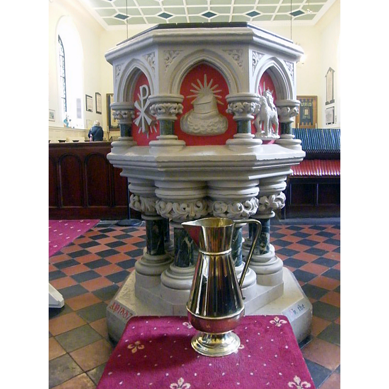
Image copyright © Parish of St Botolph's, Knottingley, 2018
No known copyright restriction / Fair Dealing
Results: 2 records
view of font and cover in context
Scene Description: the modern font: the date '1887' is painted on the plinth side
Copyright Statement: Image copyright © Parish of St Botolph's, Knottingley, 2018
Image Source: digital photograph in the Parish of St Botolph's, Knottingley site [www.stbotolphsknottingley.org.uk/photos/l1308833843.jpg] [accessed 30 October 2018]
Copyright Instructions: No known copyright restriction / Fair Dealing
view of church exterior - southeast view
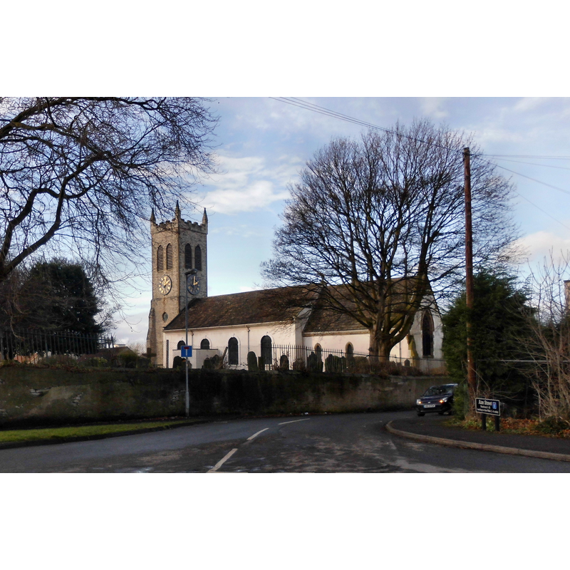
Copyright Statement: Image copyright © Derek Dye, 2018
Image Source: digital photograph taken 22 January 2018 by Derek Dye [www.geograph.org.uk/photo/5670001] [accessed 30 October 2018]
Copyright Instructions: CC-BY-SA-2.0
INFORMATION
Font ID: 21855KNO
Object Type: Baptismal Font1?
Font Century and Period/Style: 12th century, Late Norman
Church / Chapel Name: Parish Church of St. Botolph
Font Location in Church: [disappeared]
Church Patron Saint(s): St. Botulph [aka St. Botolph, Botolph of Thorney, Botulf]
Church Address: Knottingley WF11 9AW, United Kingdom -- Tel.: +44 1977 672267
Site Location: West Yorkshire, Yorkshire and the Humber, England, United Kingdom
Directions to Site: Located off the B6136, 20 km ESE of Leeds
Ecclesiastic Region: Diocese of Leeds
Historical Region: Hundred of Osgodcross -- formerly WRYrks
Additional Comments: disappeared font? (the one from the 12thC church here)
Font Notes:
Click to view
There is an entry for Nottingley [variant spelling] in the Domesday survey [http://opendomesday.org/place/SE5024/knottingley/] [accessed 30 October 2018] but it mentions neither cleric nor church in it. The Parish site [www.stbotolphsknottingley.org.uk/history/] [accessed 30 October 2018] notes: "The earliest reference to a Church in Knottingley was a document dated between 1119-1121 which confirmed a grant by Robert de Lacy to the Prior and Monks of Pontefract, a number of items including the chapel of Knottingley. Between 1750 and 1756 rebuilding of the Norman chapel took place"; no font is mentioned in it. This same site illustrates the modern font in use, a rather garish combination of an octagonal basin on marble colums located at the west end of the nave; the date '1887' is painted on the plinth side. Ryder (1993) mentions a 12th-century blocked window visible only from the inside. Harman & Pevsner (2017) report a font of 1887 here, as well.
COORDINATES
UTM: 30U 615828 5952843
Latitude & Longitude (Decimal): 53.7114, -1.245
Latitude & Longitude (DMS): 53° 42′ 41.04″ N, 1° 14′ 42″ W
REFERENCES
- Harman, Ruth, Yorkshire West Riding: Sheffield and the South, New Haven; London: Yale University Press, 2017, p. 377