Braithwell / Bradeuuelle
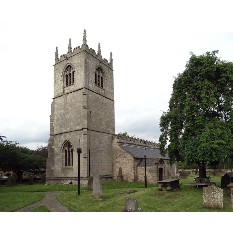
Image copyright © Neil Theasby, 2014
CC-BY-SA-2.0
Results: 1 records
view of church exterior - southwest view
Scene Description: EXT SW digital photograph taken 25 June 2014 by Neil Theasby [www.geograph.org.uk/photo/4043399] [accessed 12 October 2018] Source caption: "St James Church, Braithwell. The Domesday Survey of 1086 records 'In Braduelle there is a church and a priest'. The present church was begun in the 11th century as a one cell Norman church. An ancient tympanum dated AD 1120-1130 adorns the south door. It is carved from one piece of sandstone and also dates from 1120-1130."
Copyright Statement: Image copyright © Neil Theasby, 2014
Image Source: digital photograph taken 25 June 2014 by Neil Theasby [www.geograph.org.uk/photo/4043399] [accessed 12 October 2018]
Copyright Instructions: CC-BY-SA-2.0
INFORMATION
Font ID: 21840BRA
Object Type: Baptismal Font1
Font Century and Period/Style: 11th century, Pre-Conquest? / Norman
Church / Chapel Name: Parish Church of St. James
Font Location in Church: [disappeared]
Church Patron Saint(s): St. James
Church Address: 6 Micklebring Ln, Braithwell, Rotherham S66 7AS, UK -- Tel.: +44 1709 543111
Site Location: South Yorkshire, Yorkshire and the Humber, England, United Kingdom
Directions to Site: Located off (W) the B6376, 2 km N of Maltby, E of the M18, SW of Doncaster
Ecclesiastic Region: Diocese of Sheffield
Historical Region: Hundred of Strafforth -- formerly ERYrks
Additional Comments: disappeared font? (the one from the Domesday-time church here)
Font Notes:
Click to view
There are two entries for Braithwell [variant spelling] in the Domesday survey [http://opendomesday.org/place/SK5294/braithwell/] [accessed 12 October 2018], one of each reports a priest and a church in it. The entry for this church in Historic Churches [Listing NGR: SK5299294697] notes: "Church. C12, C13, C14 and C15; chancel rebuilt 1845, organ chamber added 1894", but there is no mention of a font in it. The entry for this church in Harman & Pevsner (2017) mentions no font in it, nor does the CRSBI (2018) entry.
COORDINATES
UTM: 30U 619279 5923388
Latitude & Longitude (Decimal): 53.446, -1.204
Latitude & Longitude (DMS): 53° 26′ 45.6″ N, 1° 12′ 14.4″ W
REFERENCES
- Corpus of Romanesque Sculpture in Britain and Ireland, The Corpus of Romanesque Sculpture in Britain and Ireland, The Corpus of Romanesque Sculpture in Britain and Ireland. URL: http://www.crsbi.ac.uk.
- Harman, Ruth, Yorkshire West Riding: Sheffield and the South, New Haven; London: Yale University Press, 2017, p. 138