Bullington / Bolintone / Buillington nr. Lincoln
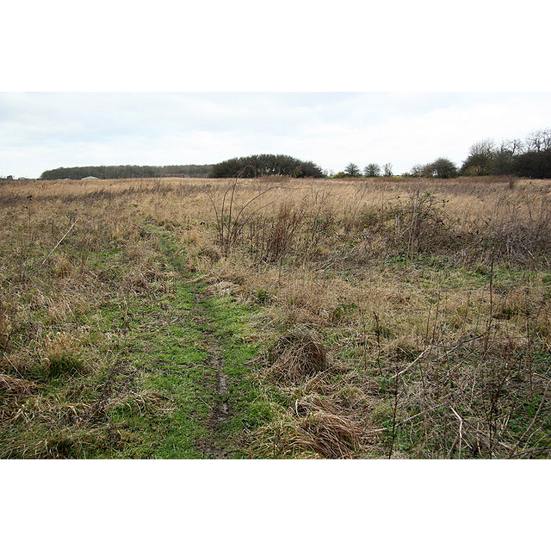
Image copyright © Richard Croft, 2012
CC-BY-SA-2.0
Results: 1 records
view of church exterior in context
Scene Description: Source caption: "Overgrown earthworks on the site of Bullington Priory, founded c1150, dissolved 1538" [NB: one source claims that the ruins of the old priory church, later a parish church dedicated to St. James, were still visible in the 1840s]
Copyright Statement: Image copyright © Richard Croft, 2012
Image Source: digital photograph taken 7 January 2012 by Richard Croft [www.geograph.org.uk/photo/2755174] [accessed 4 September 2018]
Copyright Instructions: CC-BY-SA-2.0
INFORMATION
Font ID: 21809BUL
Object Type: Baptismal Font1?
Font Date: ca. 1135-1154?
Font Century and Period/Style: 12th century (mid?), Late Norman
Church / Chapel Name: Parish Church of St. James [a chapelry in Goltho parish; originally the church of a Gilbertine Priory] [disappeared]
Font Location in Church: [disappeared]
Church Patron Saint(s): St. James [originally St. Mary]
Church Notes: Gilbertine priory dedicated to St Mary founded ca. 1135-1154; at the Dissolution became parish church dedicated to St. James; in ruins by the 1840s
Church Address: [NB: address and coordinates given for the site of the disappeared priory: Bullington, Market Rasen, UK]
Site Location: Lincolnshire, East Midlands, England, United Kingdom
Directions to Site: The site is located off (SE) the A158-B1399 crossroads, 13 km NE of Lincoln [NB: there is no Bullington village]
Ecclesiastic Region: Diocese of Lincoln
Historical Region: Hundred of Wraggoe
Additional Comments: disappeared font? (the one from the disappeared church here)
Font Notes:
Click to view
There are three entries for this Bullington [variant spelling] in the Domesday survey [http://opendomesday.org/place/TF0977/bullington/] [accessed 4 September 2018], none of which mentions cleric or church in it. The entry for the old priory in the Victoria County History (Lincoln, vol. 2, 1906) notes; "The Gilbertine priory of St. Mary, Bullington, was founded as a double house between 1148 and 1154 by Simon, son of William de Kyme [...] like the other Gilbertine houses, never recovered from the effects of the Black Death. [...] The house was surrendered on 26 September, 1538, by the prior and nine canons". The original 12th-century priory church became parish church after the Dissolution; it was dedicated to St. James; it was in ruins already by the 1840s. [NB: we have no information on the font from that church].
COORDINATES
UTM: 30U 676618 5906183
Latitude & Longitude (Decimal): 53.275422, -0.351087
Latitude & Longitude (DMS): 53° 16′ 31.52″ N, 0° 21′ 3.91″ W
REFERENCES
- Victoria County History [online], University of London, 1993-. URL: https://www.british-history.ac.uk.