Straftfield Mortimer / Mortimer West End / Stradfelie
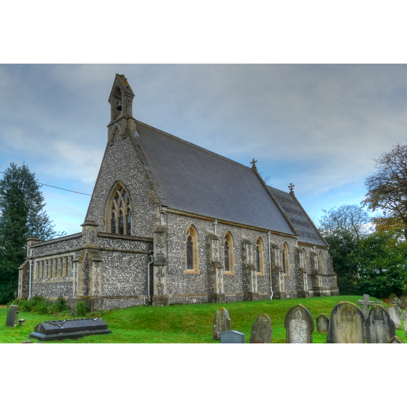
Image copyright © Mike Cattell, 2009
CC-BY-SA-2.0
Results: 1 records
view of church exterior - southwest view
Scene Description: Source caption: "St Saviour's parish church, Mortimer West End, Hampshire, seen from the southwest" [NB; the modern church of 1856; there was never an earlier church in this village]
Copyright Statement: Image copyright © Mike Cattell, 2009
Image Source: edited detail of a digital photograph taken 27 November 2009 by Mike Cattell [https://commons.wikimedia.org/wiki/File:St_Saviours_Parish_Church,_Mortimer_West_End,_Hampshire-27Nov2009.jpg] [accessed 1 August 2018]
Copyright Instructions: CC-BY-SA-2.0
INFORMATION
Font ID: 21778STR
Object Type: Baptismal Font1?
Church / Chapel Name: Parish Church of St. Saviour
Font Location in Church: [disappeared]
Church Patron Saint(s): Jesus Christ
Church Address: Church Rd, Mortimer West End, Reading RG7 2HX, UK -- Tel.: +44 118 933 3704
Site Location: Hampshire, South East, England, United Kingdom
Directions to Site: Located 2-3 km W of Stratfield Mortimer (Berks), 13 km N of Basingstoke, SE of Reading [NB: there is another half of Stratfield Mortimer in Berks]
Ecclesiastic Region: Diocese of Winchester
Historical Region: Hundred of Holdshot / Holdshott -- Hundred of Bountisborough [in Domesday]
Font Notes:
Click to view
There is an entry for this Stratfield [Mortimer] [variant spelling] in the Domesday survey [http://opendomesday.org/place/SU6363/stratfield-mortimer/] [accessed 1 August 2018], but it mentions neither cleric nor church in it. The entry for this parish in the Victoria County History (Hampshire, vol. 4, 1911) notes: "Mortimer West End, once a tithing of the parish of Stratfield Mortimer (county Berks), was constituted an ecclesiastical parish in 1870, and a civil parish in 1894. It is situated 3 miles west from Mortimer station, on the Reading and Basingstoke branch of the Great Western Railway. The parish of Silchester bounds it on the south, and the county of Berkshire forms its northern, eastern, and western boundaries. The village is grouped round the church of St. Saviour and the vicarage [...] The church of ST. SAVIOUR is a small building, which was erected in 1856." NB: we have no information on the font here but it is probably a modern one, contemporary with the mid-19th century date of the church itself.
COORDINATES
UTM: 30U 632906 5692632
Latitude & Longitude (Decimal): 51.369369, -1.09065
Latitude & Longitude (DMS): 51° 22′ 9.73″ N, 1° 5′ 26.34″ W
REFERENCES
- Victoria County History [online], University of London, 1993-. URL: https://www.british-history.ac.uk.