Southampton No. 3 / Hamwic / Hantune
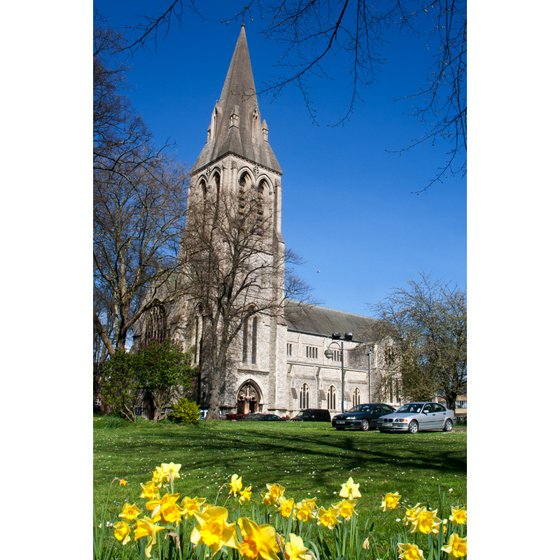
Image copyright © Murgatroyd49, 2011
CC-BY-SA-2.0
Results: 1 records
view of church exterior in context - southwest v
Scene Description: church re-built mid-20thC
Copyright Statement: Image copyright © Murgatroyd49, 2011
Image Source: digital photograph taken 7 April 2011 by Murgatroyd49 [https://commons.wikimedia.org/wiki/File:St_Mary's_Church,_Southampton.jpg] [accessed 30 July 2018]
Copyright Instructions: CC-BY-SA-2.0
INFORMATION
Font ID: 21773SOU
Object Type: Baptismal Font1
Font Century and Period/Style: 11th century, Pre-Conquest? / Norman
Church / Chapel Name: Parish Church of St. Mary
Font Location in Church: [disappeared]
Church Patron Saint(s): St. Mary the Virgin
Church Notes: medieval church re-built late-19thC; gutted in WWII; re-built 1954-1956
Church Address: St Mary St, Southampton SO14 1AQ, UK
Site Location: Hampshire, South East, England, United Kingdom
Directions to Site: Located off the A33. The church is located off (NE) the St Mary St and Chapel Rd crossing
Ecclesiastic Region: Diocese of Winchester
Historical Region: Hundred of Mansbridge
Additional Comments: disappeared font? (the one from the Domesday-time church here)
Font Notes:
Click to view
There are four entries for Southampton [variant spelling] in the Domesday survey [http://opendomesday.org/place/SU4111/southampton/] [accessed 30 July 2019], one of which reports "3 churches. 1.0 church lands" in it. The entry for this church in Historic England [Listing NGR: SU4255313582] [accessed 30 July 2018] mentions no font in it. The entry for this church in the Victoria County History (Hampshire, vol. 3, 1908), in reference to the Domesday survey, notes: "Probably this manorial church was no other than St. Mary's, Southampton [...] Of the fabrics, the earliest church must have been of Saxon origin [...] For many years the church remained in a miserable condition [...] In 1650 the church was repaired in a niggardly fashion", and gives the date of the 19th-century re-building : "the first stone of which was laid by the Prince of Wales on 12 August, 1878".
COORDINATES
UTM: 30U 612850 5640251
Latitude & Longitude (Decimal): 50.90287, -1.39506
Latitude & Longitude (DMS): 50° 54′ 10.33″ N, 1° 23′ 42.22″ W
REFERENCES
- Victoria County History [online], University of London, 1993-. URL: https://www.british-history.ac.uk.