Josa Tuixent No. 2 / Jausa / Josa / Josá / Josa del Cadi / Josá del Cadí / Josá Tuixent / Josa i Tuixén / Tuixent / Tuxen / Tuxent
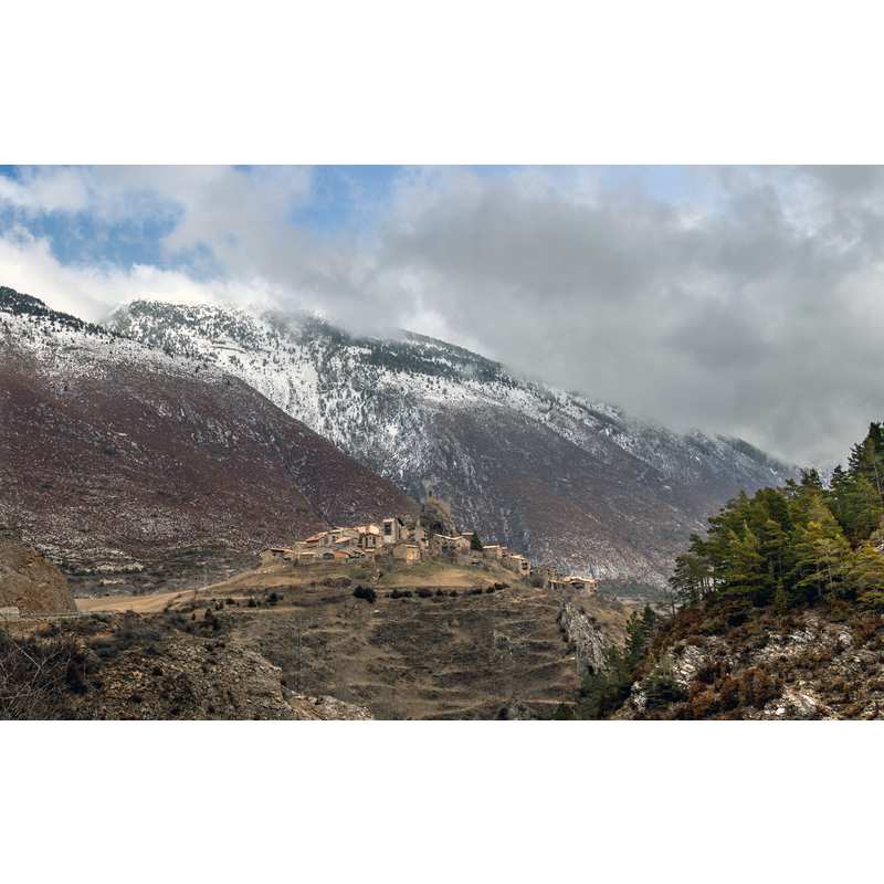
Image copyright © Mikipons, 2017
CC-BY-SA-4.0
Results: 2 records
view of church exterior in context
Copyright Statement: Image copyright © Mikipons, 2017
Image Source: digital photograph taken 12 February 2017 by Mikipons [https://commons.wikimedia.org/wiki/File:Josa_del_Cadí.jpg] [accessed 10 May 2018]
Copyright Instructions: CC-BY-SA-4.0
view of church exterior in context - northeast view
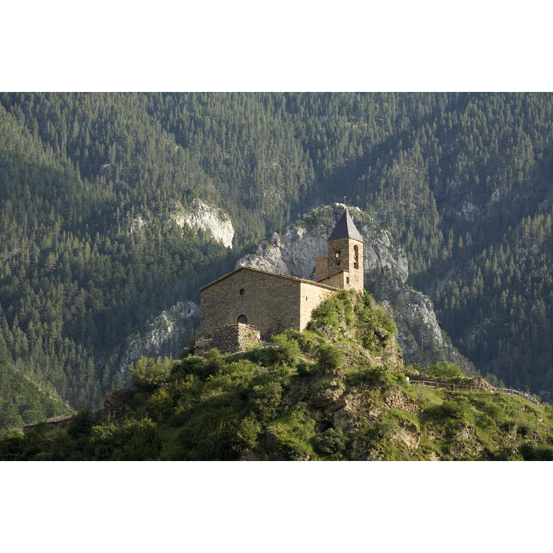
Copyright Statement: Image copyright © PMRMaeyaert, 2008
Image Source: digital photograph taken 15 July 2008 by PMRMaeyaert [https://commons.wikimedia.org/wiki/File:Josa_del_Cadí-PM_16362.jpg] [accessed 10 May 2018]
Copyright Instructions: CC-BY-SA-3.0
INFORMATION
Font ID: 21738JOS
Object Type: Baptismal Font1?
Font Century and Period/Style: 12th - 13th century, Late Romanesque
Church / Chapel Name: Iglesia Parroquial de Santa María y San Bernabé / Església parroquial de Santa Maria i Sant Bernabé de Josa. Josa de Cadí (Josa i Tuixén)
Font Location in Church: [disappeared]
Church Patron Saint(s): St. Mary the Virgin & St. Barnabas
Church Notes: Romanesque church re-built 1846
Church Address: Josá del Cadí, 25716 Josá Tuixent, Spain
Site Location: Lérida / Lleida, Cataluña / Catalunya, Spain, Europe
Directions to Site: Located off (S) the C563, about 20 km SSE of La Seu d'Urgell, about 20 km S of Andorra, in the Parque natural de Cadí-Moixeró
Ecclesiastic Region: Diócesis de Urgel
Historical Region: comarca del Alto Urgel
Font Notes:
Click to view
[NB: we have no information on the font of this medieval church].
COORDINATES
UTM: 31T 386122 4679235
Latitude & Longitude (Decimal): 42.257006, 1.619395
Latitude & Longitude (DMS): 42° 15′ 25.22″ N, 1° 37′ 9.82″ E