Merriott / Meriet
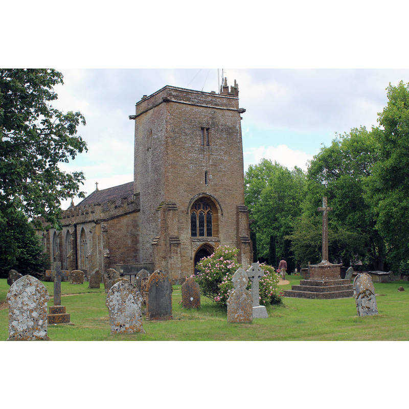
Image copyright © Nick Chipchase, 2015
CC-BY-SA-2.0
Results: 2 records
view of church exterior - northwest view
Copyright Statement: Image copyright © Nick Chipchase, 2015
Image Source: digital photograph taken 26 June 2015 by Nick Chipchase [www.geograph.org.uk/photo/4541892] [accessed 13 February 2018]
Copyright Instructions: CC-BY-SA-2.0
view of church interior - nave - looking east
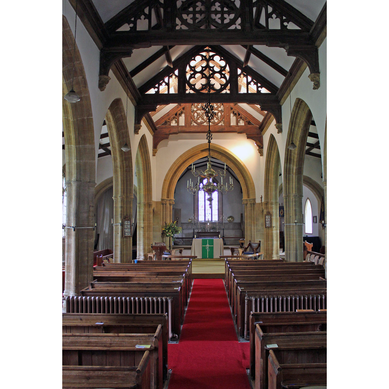
Copyright Statement: Image copyright © Nick Chipchase, 2015
Image Source: digital photograph taken 26 June 2015 by Nick Chipchase [www.geograph.org.uk/photo/4541894] [accessed 13 February 2018]
Copyright Instructions: CC-BY-SA-2.0
INFORMATION
Font ID: 21610MER
Object Type: Baptismal Font1?
Font Century and Period/Style: 12th century (late?), Late Norman
Church / Chapel Name: Parish Church of All Saints
Church Patron Saint(s): All Saints
Church Address: Church Street, Merriott, Crewkerne TA165PS, UK -- Tel.: 01460 76406
Site Location: Somerset, South West, England, United Kingdom
Directions to Site: Located off (N) the A356, 3 km N of Crewkerne
Ecclesiastic Region: Diocese of Bath & Wells
Historical Region: Hundred of Crewkerne
Font Notes:
Click to view
There are two entries for Merriott [variant spelling] in the Domesday survey [http://opendomesday.org/place/ST4412/merriott/] [accessed 13 February 2018], neither of which mentions cleric or church in it. The entry for this parish in the Victoria County History (Somerset, vol. 4, 1978) notes: "A parson and chaplain of Merriott occur between 1171 and 1192 [...] The parish church of ALL SAINTS, so dedicated by the mid 13th century, [...] is built of rubble and ashlar and has a chancel with north and south chapels, aisled nave with south porch, and west tower. The earliest surviving feature is the tower which has thick walls tapering externally. Its date is not certain but its arch may be of the later 13th century"; there is no mention of a font in the VCH entry. The entry for this church in Historic England [Listing NGR: ST4427212844] reports a "C19 font in south aisle".
COORDINATES
UTM: 30U 514475 5640104
Latitude & Longitude (Decimal): 50.9124, -2.7941
Latitude & Longitude (DMS): 50° 54′ 44.64″ N, 2° 47′ 38.76″ W