Soest nr. Lippstadt No. 4 / Saust / Sosat
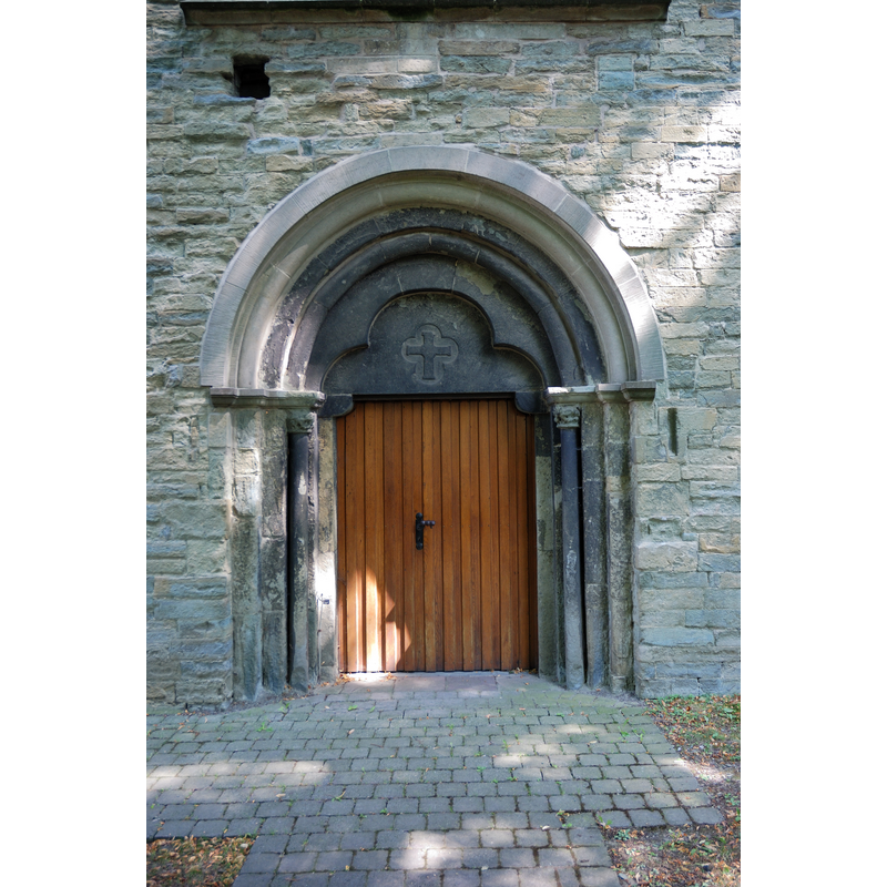
Image copyright © Mbdortmund, 2009
GFDL-1.2
Results: 3 records
view of church exterior - portal
Copyright Statement: Image copyright © Mbdortmund, 2009
Image Source: digital photograph taken in May 2008 by Mbdortmund [https://commons.wikimedia.org/wiki/File:Soest-090816-9777-Alt-St-Thomae-Portal.jpg] [accessed 13 January 2018]
Copyright Instructions: GFDL-1.2
view of church exterior in context - southeast view
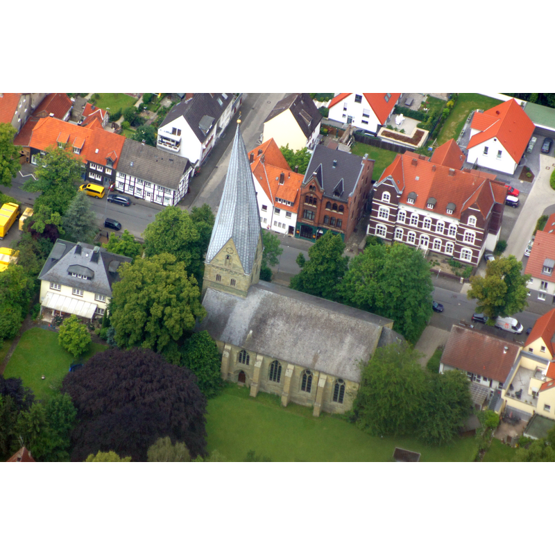
Copyright Statement: Image copyright © Günter Seggebäing, 2014
Image Source: digital photograph taken 1 June 2014 by Watzmann [Günter Seggebäing, Coesfeld] [https://commons.wikimedia.org/wiki/File:20140601_131834_Alt_St._Thomae,_Soest_(DSC02287).jpg] [accessed 13 January 2017]
Copyright Instructions: CC-BY-SA-3.0
view of church interior - nave - looking east
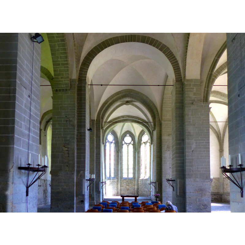
Copyright Statement: Image copyright © padrei, 2016
Image Source: digital photograph taken 7 May 2016 by padrei [https://commons.wikimedia.org/wiki/File:Soest_-_Alt_St._Thomä-Kirche_-_Innenaufnahme_-_panoramio.jpg] [accessed 13 January 2018]
Copyright Instructions: CC-BY-3.0
INFORMATION
Font ID: 21597SOE
Object Type: Baptismal Font1?
Font Century and Period/Style: 12th century (late?), Romanesque
Church / Chapel Name: Alt St-Thomä [aka "Schiefer Turm", for its leaning 17thC tower]
Font Location in Church: [disappeared]
Church Patron Saint(s): St. Thomas
Church Notes: original church ca. 1180 was probably built on the site of an chapel existing ca. 900; re-built 1270; tower added 17thC
Church Address: Thomästraße 72, 59494 Soest, Germany -- Tel.: +49 2921 12087
Site Location: Arnsberg, Nordrhein-Westfalen, Germany, Europe
Directions to Site: Located off (N) road 229 and highway 44, 23 km SW of Lippstadt, 50 km E of Dortmund, 50 km W Paderborn
Font Notes:
Click to view
The 15th-century baptismal font from this church was moved to the Neu St-Thomä Kirche in 1851 [cf. Index entry for Soest No. 3] [NB: we have no information on the font of the original 12th-century church here]
COORDINATES
UTM: 32U 438702 5713523
Latitude & Longitude (Decimal): 51.569444, 8.115556
Latitude & Longitude (DMS): 51° 34′ 10″ N, 8° 6′ 56″ E