Tyrvanto in Hattula / Tyrväntö
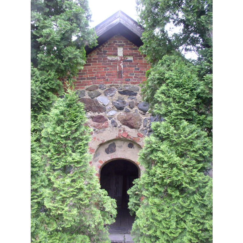
Image copyright © Antti Bilund, 2009
GFDL / CC-BY-SA-3.0,2.5,2.0,1.0
Results: 3 records
view of church exterior - sacristy - portal
Copyright Statement: Image copyright © Antti Bilund, 2009
Image Source: digital photograph taken 18 June 2009 by Antti Bilund [https://commons.wikimedia.org/wiki/File:Tyrväntö_stone_sacristy_3_AB.jpg] [accessed 24 October 2017]
Copyright Instructions: GFDL / CC-BY-SA-3.0,2.5,2.0,1.0
view of church exterior - sacristy
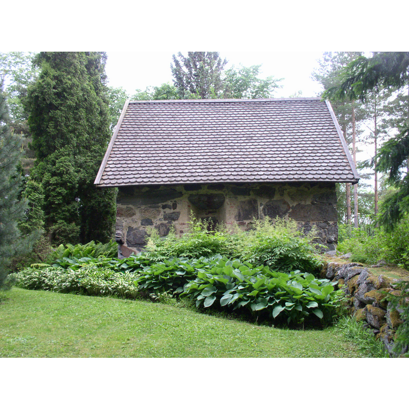
Scene Description: Source caption: "Tyrväntö medieval stone sacristy in Hattula, Finland. The sacristy was part of a wooden church of Tyrväntö. It is supposed to be the first part of a planned stone church. The plan was never finished."
Copyright Statement: Image copyright © Antti Bilund, 2009
Image Source: digital photograph taken 18 June 2009 by Antti Bilund [https://commons.wikimedia.org/wiki/File:Tyrväntö_stone_sacristy_1_AB.jpg] [accessed 24 October 2017]
Copyright Instructions: GFDL / CC-BY-SA-3.0,2.5,2.0,1.0
view of church exterior in context - lych-gate
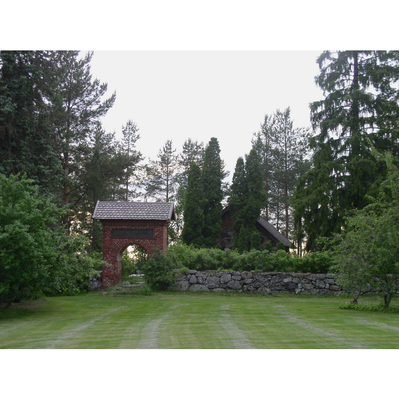
Copyright Statement: Image copyright © Antti Bilund, 2009
Image Source: digital photograph taken 18 June 2009 by Antti Bilund [https://commons.wikimedia.org/wiki/File:Tyrväntö_stone_sacristy_5_AB.jpg] [accessed 24 October 2017]
Copyright Instructions: GFDL / CC-BY-SA-3.0,2.5,2.0,1.0
INFORMATION
Font ID: 21532TYR
Object Type: Baptismal Font1?
Font Century and Period/Style: 16th century
Church / Chapel Name: Tyrvännön keskiaikainen kivisakaristo Hattulassa
Font Location in Church: [disappeared]
Church Notes: built probably 16thC
Church Address: Taimistontie, Tyrväntö, 14620 Hattula, Häme, Finland
Site Location: Häme, Hämeen lääni / Tavastehus län, Finland, Europe
Directions to Site: Located off (E) road 3061, 16 km NNW of Hämeenlinna, SSE of Tampere
Additional Comments: disappeared font? 9the one from the 16thC (?) church here)
Font Notes:
Click to view
[NB: we have no information on the font of the 16thC church here -- or was it moved to Hattula?]
COORDINATES
UTM: 35V 355791 6778736
Latitude & Longitude (Decimal): 61.116694, 24.323361
Latitude & Longitude (DMS): 61° 7′ 0.1″ N, 24° 19′ 24.1″ E