Pyhtaa in Itäkirkonkylä / Pyhtää / Pyttis
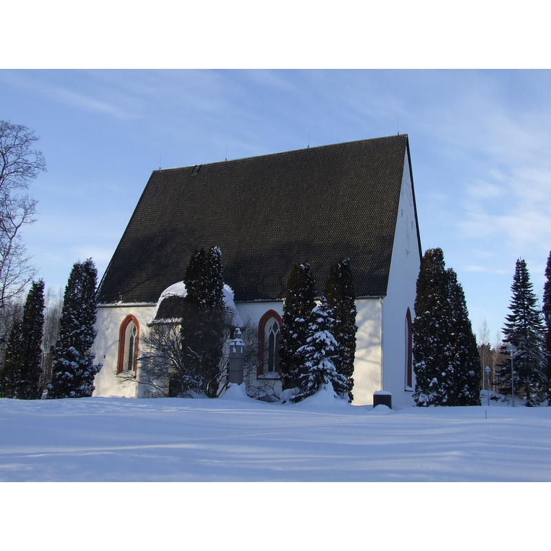
Image copyright © Niera, 2011
GFDL / CC-BY-SA-3.0
Results: 4 records
view of church exterior
Scene Description: Source caption: "The medieval St. Henry's church in Pyhtää, Finland."
Copyright Statement: Image copyright © Niera, 2011
Image Source: digital photograph taken 19 February 2011 by Niera [https://commons.wikimedia.org/wiki/File:Pyhtää_church_in_winter.JPG] [accessed 18 October 2017]
Copyright Instructions: GFDL / CC-BY-SA-3.0
view of church exterior in context
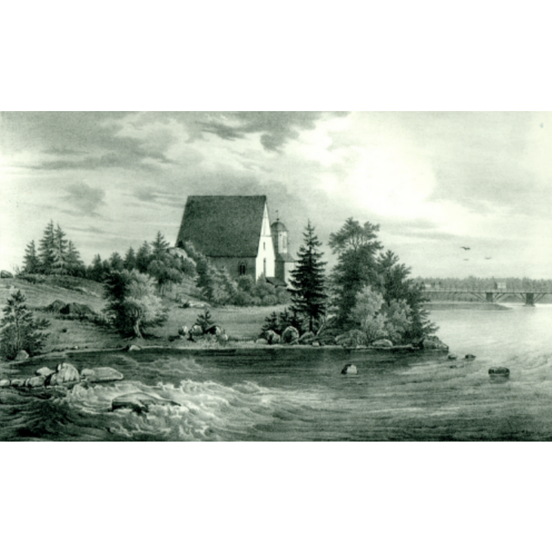
Copyright Statement: Image copyright © [in the public domain]
Image Source: digital image of a 19thC lithograph by Johan Knutson, in Finland framstäldt i teckningar [https://commons.wikimedia.org/wiki/File:Pyttis_kyrka.png] [accessed 18 October 2017]
Copyright Instructions: CC-PD-MarkPD Old
view of church interior - nave - ceiling - painting
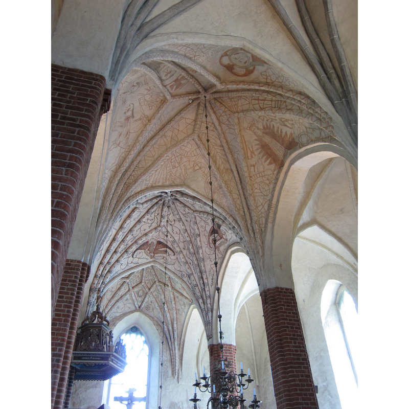
Copyright Statement: Image copyright © Kymi, 2013
Image Source: digital photograph taken 15 June 2013 by Kymi [https://commons.wikimedia.org/wiki/File:Pyhtään_kirkko_1.jpg] [accessed 18 October 2017]
Copyright Instructions: GFDL / CC-BY-SA-3.0
view of church interior - nave - looking east
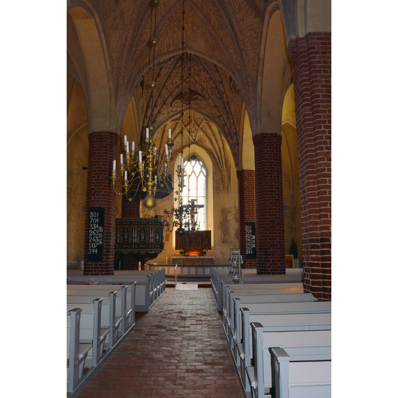
Copyright Statement: Image copyright © Niera, 2015
Image Source: digital photograph taken 19 July 2015 by Niera [https://commons.wikimedia.org/wiki/File:Pyhtää_church,_nave.JPG] [accessed 18 October 2017]
Copyright Instructions: GFDL / CC-BY-SA-3.0
INFORMATION
Font ID: 21523LYH
Object Type: Baptismal Font1?
Font Date: ca. 1380?
Font Century and Period/Style: 14th century (late?), Gothic
Church / Chapel Name: Pyhtään Pyhän Henrikin kirkko / S:t Henriks kyrka i Pyttis
Font Location in Church: [disappeared]
Church Patron Saint(s): St. Henry
Church Notes: church here documented 1380; present church ca. 1460; church tower 1820s
Church Address: Harjuntie 11, Pyhtää, Finland -- Tel.: +358 5 343 1921
Site Location: Uusimaa / Nyland, Finland, Europe
Directions to Site: Located off (N) the E18, the Great Shore Road [aka King's Rd] from Turku to Vyborg, 22 km WNW of Kotka, NNW of Struka
Ecclesiastic Region: Diocese of Turku
Historical Region: Kotka-Hamina, Kymenlaakso region
Additional Comments: disappeared font? (the one from the late-14thC church here)
Font Notes:
Click to view
[NB: we have no information on the font of the late-14th century church here]
COORDINATES
UTM: 35V 475280 6707182
Latitude & Longitude (Decimal): 60.5, 26.55
Latitude & Longitude (DMS): 60° 30′ 0″ N, 26° 33′ 0″ E