Martainville nr. Thury-Harcourt / Martin villa / Martini villa
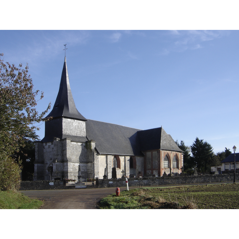
Image copyright © Gérard Janot, 2008
GFDL / CC-BY-SA-3.0
Results: 1 records
view of church exterior - southwest view
Copyright Statement: Image copyright © Gérard Janot, 2008
Image Source: digital photograph taken 26 October 2008 by Gérard Janot [https://commons.wikimedia.org/wiki/File:MartainvilleEglise.JPG] [accessed 7 September 2017]
Copyright Instructions: GFDL / CC-BY-SA-3.0
INFORMATION
Font ID: 21489MAR
Object Type: Baptismal Font1?
Font Century and Period/Style: 12th century, Romanesque
Church / Chapel Name: Église paroissiale Siant-Pierre
Font Location in Church: [disappeared]
Church Patron Saint(s): St. Peter
Church Notes: original 12thC church listed in Mérimée [ref.: PA00099481]: "La présence d'une église est déjà signalée au 12ème siècle, probablement de plan rectangulaire, sans transept. Un clocher-porche est édifié, en partie ouest, à la fin du 15ème siècle ou au début du 16ème siècle, à la période où sont rebâtis le mur nord de la nef et le bras de transept correspondant. La sacristie ainsi que le transept sud datent du 18ème siècle, de même que la reprise du choeur."
Church Address: 1 Hameau de l'Église, 27210 Martainville, France
Site Location: Eure, Normandie, France, Europe
Directions to Site: Located off (E) the D27, between Le Torpt (N) and Le Bois-Hellain (S), SW of Pont-Audemer, in the 'région naturelle du Lieuvin'
Historical Region: Pays de Honfleur-Beuzeville, Basse-Normandie
Font Notes:
Click to view
[NB: we have no information on the font of the 12thC church here]
COORDINATES
UTM: 31U 311521 5464760
Latitude & Longitude (Decimal): 49.30647, 0.40705
Latitude & Longitude (DMS): 49° 18′ 23.29″ N, 0° 24′ 25.38″ E