Kaarlela / Karleby
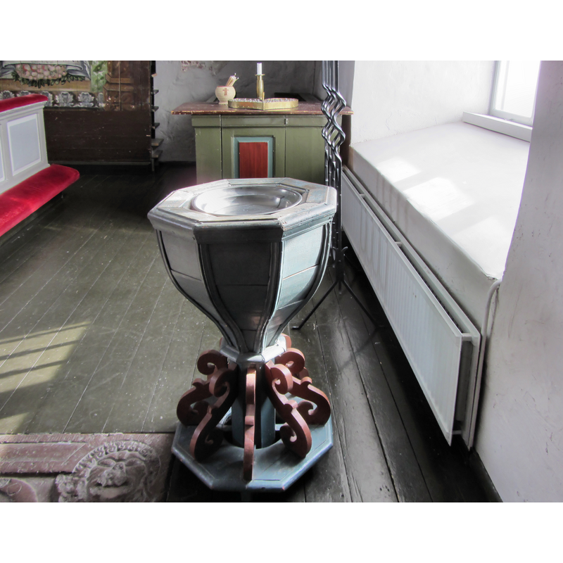
Image copyright © Anneli Salo, 2013
CC-BY-SA-4.0
Results: 3 records
view of font
Copyright Statement: Image copyright © Anneli Salo, 2013
Image Source: digital photograph taken 14 March 2013 by Anneli Salo [https://commons.wikimedia.org/wiki/File:Kaarlelan_kirkko_C_IMG_9854.JPG] [accessed 28 August 2017]
Copyright Instructions: CC-BY-SA-4.0
view of church exterior - south view
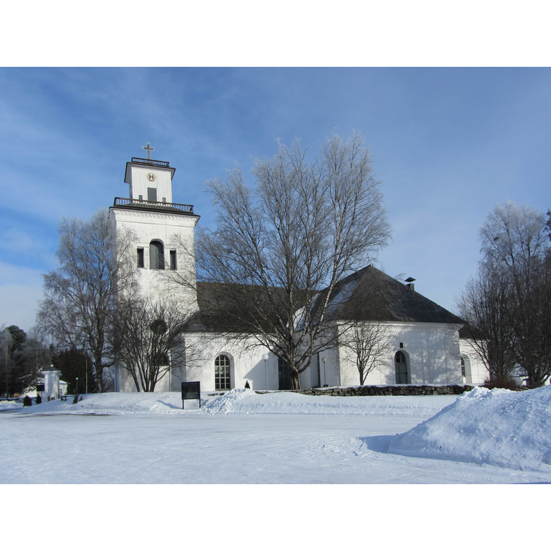
Copyright Statement: Image copyright © Anneli Salo, 2013
Image Source: digital photograph taken 14 March 2013 by Anneli Salo [https://commons.wikimedia.org/wiki/File:Kaarlelan_kirkko_C_IMG_9822.JPG] [accessed 28 August 2017]
Copyright Instructions: CC-BY-SA-4.0
view of church interior - pulpit and north side
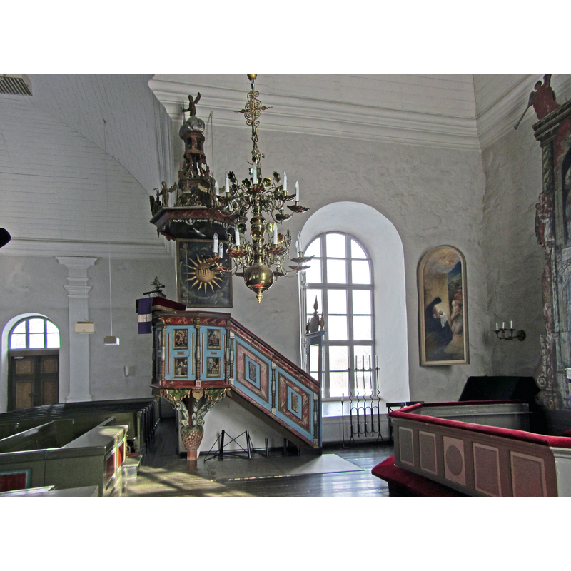
Copyright Statement: Image copyright © Anneli Salo, 2013
Image Source: digital photograph taken 14 March 2013 by Anneli Salo [https://commons.wikimedia.org/wiki/File:Kaarlelan_kirkko_C_IMG_9838.JPG] [accessed 28 August 2017]
Copyright Instructions: CC-BY-SA-4.0
INFORMATION
Font ID: 21447KAA
Object Type: Baptismal Font1?
Font Century and Period/Style: 15th century, Late Medieval
Church / Chapel Name: Karleby kyrka / Kaarlelan kirkko
Font Location in Church: [disappeared]
Church Notes: present stone church early-16thC, but nave may be 15thC; re-built late-18thC;
Church Address: Kirkkopolku 2, 67100 Kokkola, Pohjanmaa, Finland
Site Location: Pohjanmaa / Österbotten, Finland, Europe
Directions to Site: Located just S of the E8, S of Kokkola, 30 km NE of Pedersöre
Additional Comments: disappeared font? (the one from the original church here)
Font Notes:
Click to view
The present font is modern, late-17th or 18thC? [NB: we have no information on the font of the original church here]
COORDINATES
UTM: 34V 604727 7079569
Latitude & Longitude (Decimal): 63.827778, 23.128333
Latitude & Longitude (DMS): 63° 49′ 40″ N, 23° 7′ 42″ E