Laitila / Letala
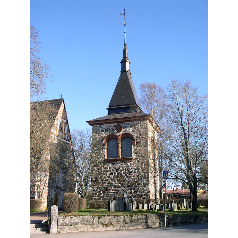
Image copyright © Antti Bilund, 2010
GFDL / CC-BY-SA-3.0,2.5,2.0,1.0
Results: 3 records
view of church exterior - bell-cote
Scene Description: the present detached bell-tower of 1883 replaced an earlier one destroyed by fire in 1880 [source: http://www.muuka.com/finnishpumpkin/churches/l/church_l.html] [accessed 22 August 2017]
Copyright Statement: Image copyright © Antti Bilund, 2010
Image Source: digital photograph taken 2 May 2010 by Antti Bilund [https://commons.wikimedia.org/wiki/File:Laitila_church_bell_tower_1_AB.jpg] [accessed 22 August 2017]
Copyright Instructions: GFDL / CC-BY-SA-3.0,2.5,2.0,1.0
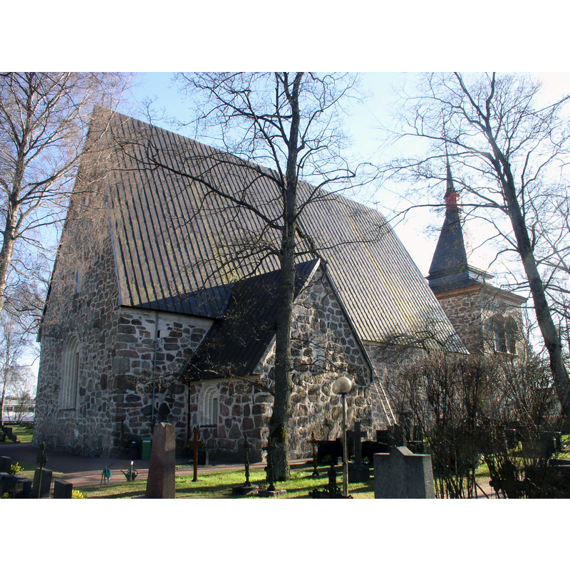
view of church exterior - northeast view
Copyright Statement: Image copyright © Antti Bilund, 2010
Image Source: digital photograph taken 2 May 2010 by Antti Bilund [https://commons.wikimedia.org/wiki/File:Laitila_church_5_AB.jpg] [accessed 22 August 2017]
Copyright Instructions: GFDL / CC-BY-SA-3.0,2.5,2.0,1.0
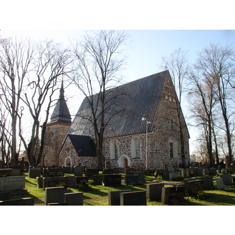
view of church exterior - southeast view
Copyright Statement: Image copyright © Antti Bilund, 2010
Image Source: digital photograph taken 2 May 2010 by Antti Bilund [https://commons.wikimedia.org/wiki/File:Laitila_church_3_AB.jpg] [accessed 22 August 2017]
Copyright Instructions: GFDL / CC-BY-SA-3.0,2.5,2.0,1.0
INFORMATION
Font ID: 21426LAI
Object Type: Baptismal Font1?
Font Century and Period/Style: 13th - 14th century, Medieval
Church / Chapel Name: Laitilan kirkko Pyhä arkkienkeli Mikael
Font Location in Church: [disappeared]
Church Patron Saint(s): St. Michael
Church Notes: present church mid-to-late 15thC replaced an earlier wooden church
Church Address: Kirkkotie 2-4, Laitila, Finland
Site Location: Varsinais-Suomi / Egentliga Finland, Finland, Europe
Directions to Site: Located off the corner of Kirkottie and Keskuskatu, NW of the E8-43 crossroads, 28 km NNW of Mynämäki, NNW of Turku
Ecclesiastic Region: Diocese of Turku / Åbo ärkestift
Additional Comments: disappeared font? (the one from the pre-15thC wooden church here?)
Font Notes:
Click to view
[NB: we have no information on the baptismal font of this church]
COORDINATES
UTM: 34V 537697 6749398
Latitude & Longitude (Decimal): 60.878, 21.694333
Latitude & Longitude (DMS): 60° 52′ 40.8″ N, 21° 41′ 39.6″ E