Pernio / Bjarna / Bjärnå / Bjärno / Perniö
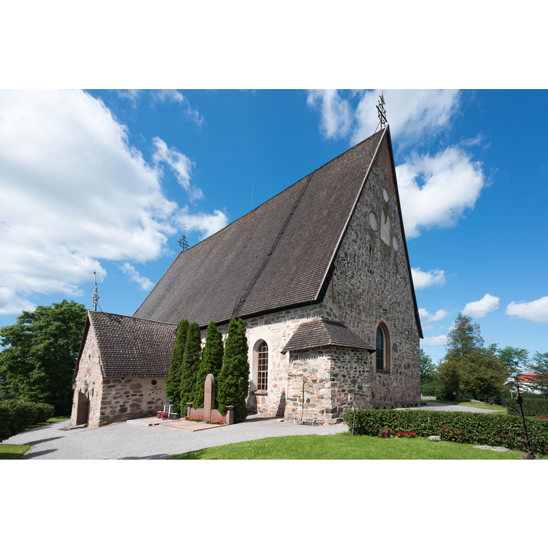
Image copyright © Motopark, 2012
CC-BY-SA-3.0
Results: 3 records
view of church exterior - southeast view
Copyright Statement: Image copyright © Motopark, 2012
Image Source: edited detail of a digital photograph taken 3 July 2012 by Motopark [https://commons.wikimedia.org/wiki/File:Perniön_kirkko5.jpg] [accesed 9 August 2017]
Copyright Instructions: CC-BY-SA-3.0
view of church exterior - west view
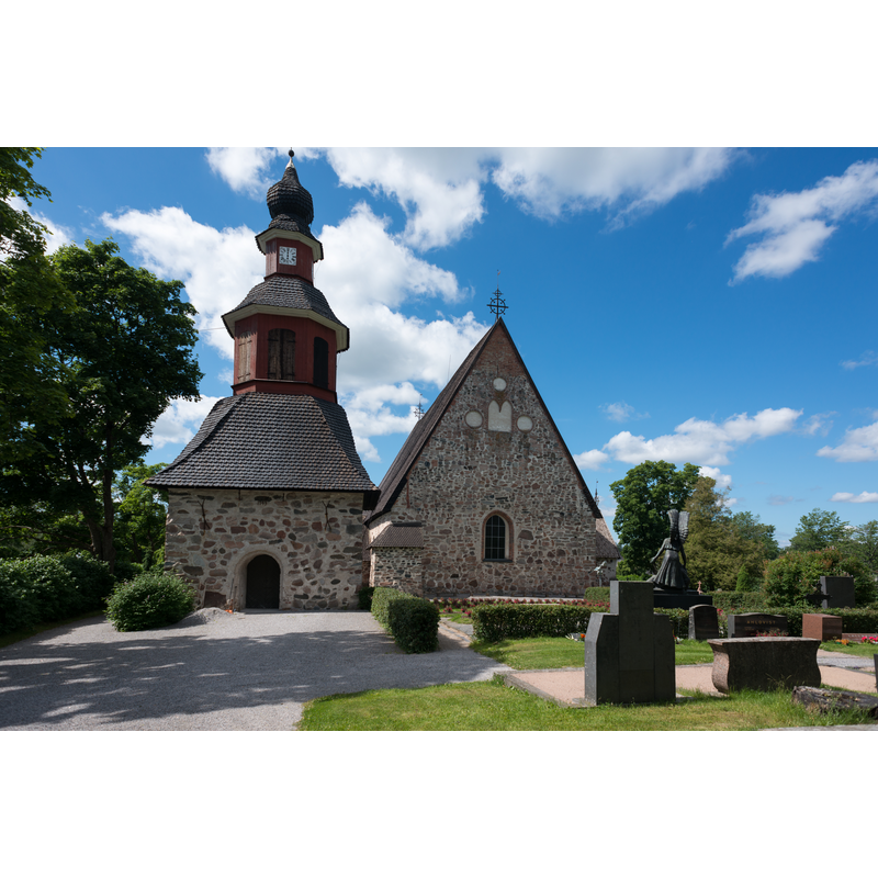
Scene Description: this photograph gives the impression that tower and church are together, which they are not
Copyright Statement: Image copyright © Motopark, 2012
Image Source: digital photograph taken 3 July 2012 by Motopark [https://commons.wikimedia.org/wiki/File:Perniön_kirkko1.jpg] [accesed 9 August 2017]
Copyright Instructions: CC-BY-SA-3.0
view of church exterior in context - southeast view
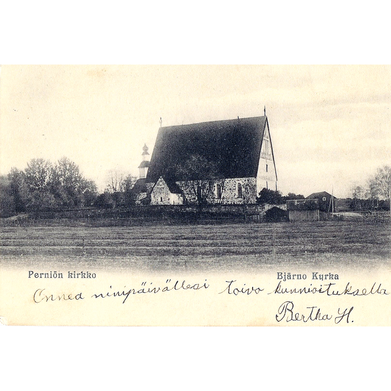
Scene Description: the 18thC bell tower is partially visible behing the northwest corner of the church
Copyright Statement: Image copyright © [in the public domain]
Image Source: digital image of a pre-1910 postcard [https://commons.wikimedia.org/wiki/File:Perniön_kirkko.jpg] [accessed 9 August 2017]
Copyright Instructions: PD Finland
INFORMATION
Font ID: 21386PER
Object Type: Baptismal Font1
Font Century and Period/Style: 15th century (mid?), Late Gothic
Church / Chapel Name: Bjärnå kyrka S:t Lars / Perniön Kirkko Pyhä Laurentius
Font Location in Church: [disappeared]
Church Patron Saint(s): St. Lawrence [aka Laurence]
Church Notes: present church mid-15thC; mural paintings of the 1470s by Petrus Henriksson; modified 18th and 19thC; belfry added 1746;
Church Address: Lupajantie 4-6, 25500 Perniö, Finland
Site Location: Varsinais-Suomi / Egentliga Finland, Finland, Europe
Directions to Site: Located off the 52-183 crossroads, 22 km from Kemiö, 44 km N of Hanko, ESE of Turku
Ecclesiastic Region: Diocese of Turku / Åbo ärkestift
Font Notes:
Click to view
[NB: we have no information on the font of this church]
COORDINATES
UTM: 34V 617905 6675894
Latitude & Longitude (Decimal): 60.202778, 23.127111
Latitude & Longitude (DMS): 60 ° 12 '10' N, 23 ° 7 '37.6 "E