Pohja in Raasepori / Pojo in Raseborg
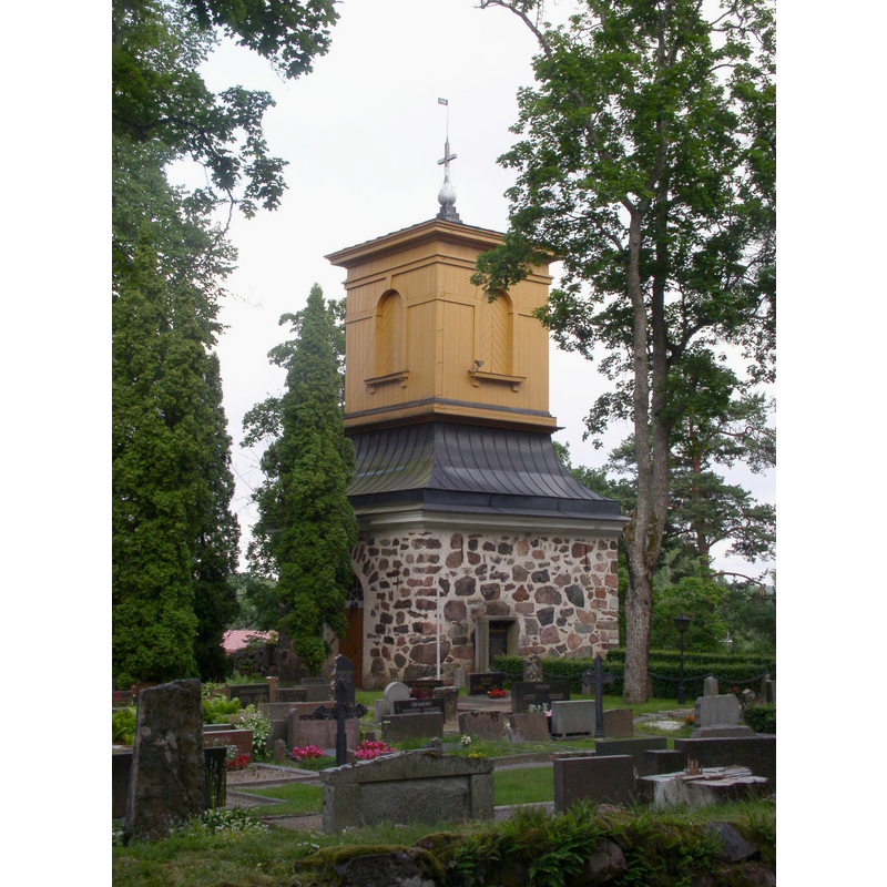
Image copyright © Antti Bilund, 2009
GFDL / CC-BY-SA-3.0,2.5,2.0,1.0
Results: 3 records
view of church exterior - bell-cote
Scene Description: the detached bell tower
Copyright Statement: Image copyright © Antti Bilund, 2009
Image Source: digital photograph taken 14 July 2009 by Antti Bilund [https://commons.wikimedia.org/wiki/File:Pohja_church_bell_tower_1_AB.jpg] [accessed 8 August 2017]
Copyright Instructions: GFDL / CC-BY-SA-3.0,2.5,2.0,1.0
view of church exterior in context
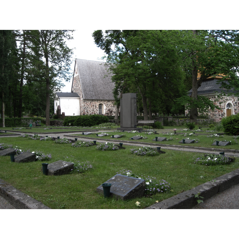
Scene Description: the church on the left and its bell tower on the right; in the foreground is a military cemetery
Copyright Statement: Image copyright © Hotarju, 2011
Image Source: digital photograph taken 20 June 2011 by Hotarju [https://commons.wikimedia.org/wiki/File:Pohja_sh_2011.JPG] [accessed 8 August 2017]
Copyright Instructions: GFDL / CC-BY-SA-3.0
view of church exterior - north view
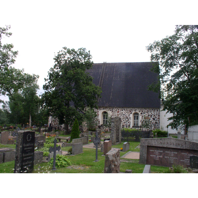
Copyright Statement: Image copyright © Antti Bilund, 2009
Image Source: digital photograph taken 14 July 2009 by Antti Bilund [https://commons.wikimedia.org/wiki/File:Pohja_church_3_AB.jpg] [accessed 8 August 2017]
Copyright Instructions: GFDL / CC-BY-SA-3.0,2.5,2.0,1.0
INFORMATION
Font ID: 21383POH
Object Type: Baptismal Font1?
Font Century and Period/Style: Medieval
Church / Chapel Name: Pohjan kirkko Neitsyt Maria
Font Location in Church: [disappeared]
Church Patron Saint(s): St. Mary the Virgin
Church Notes: present late-15thC church replaced earlier wooden one destroyed by fire;
Church Address: Gamla Åbovägen 77 / Keskusraitti 2, 10420 Raasepori, Finland
Site Location: Uusimaa / Nyland, Finland, Europe
Directions to Site: Located 4 km SSW of Fiskars, 15 km NNE of Raasepori / Raseborg, ESE of Turku, W of Helsinki
Font Notes:
Click to view
[NB: we have no information on the font of the pre-15th century church here; it may have been destroyed in a fire].
COORDINATES
UTM: 34V 640259 6664758
Latitude & Longitude (Decimal): 60.095806, 23.522306
Latitude & Longitude (DMS): 60° 5′ 44.9″ N, 23° 31′ 20.3″ E