Lembote / Lemböte / Lynæbøte
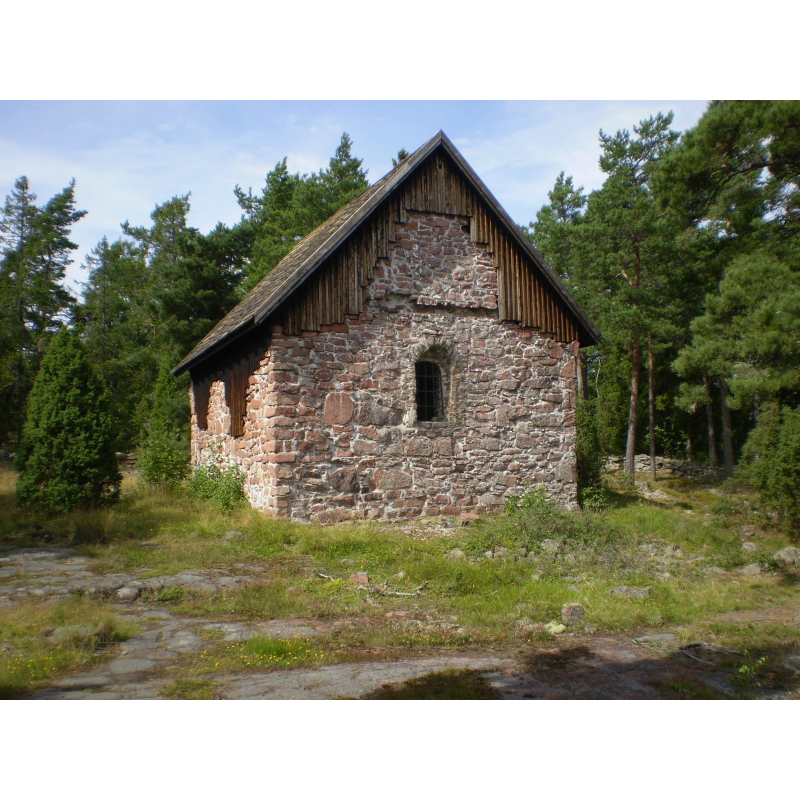
Image copyright © Kennet K.R., 2007
GFDL / CC-BY-SA-3.0
Results: 2 records
view of church exterior
Scene Description: view of the restored chapel in 2007
Copyright Statement: Image copyright © Kennet K.R., 2007
Image Source: digital photograph taken 1 August 2007 by Kennet K.R. [https://commons.wikimedia.org/wiki/File:Sjöfararkapellet_Sankt_Olofskapellet.JPG] [accessed 24 July 2017]
Copyright Instructions: GFDL / CC-BY-SA-3.0
view of church exterior in context
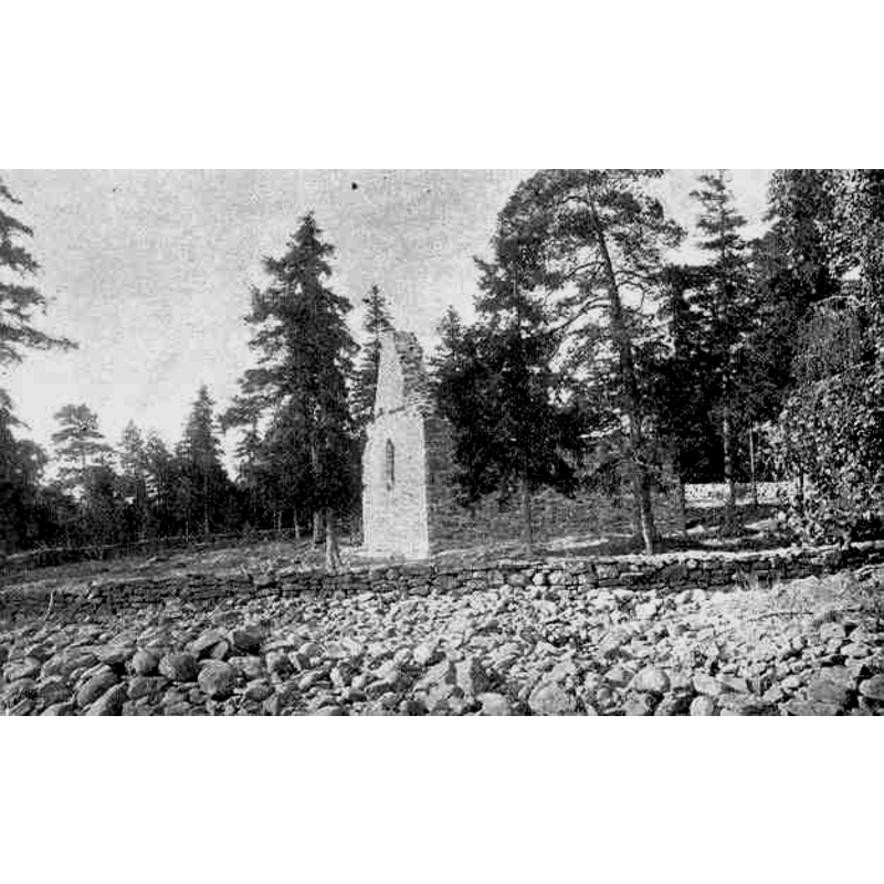
Scene Description: The ruins of Lemböte Chapel in Lemland, Åland, Finland, after the 1892 restoration
Copyright Statement: Image copyright © [in the public domain]
Image Source: digital image of an illustration in 'Finland i ord och bild' (Stockholm: O. M. Reuter, tryckt, 1901) p. 259 [https://commons.wikimedia.org/wiki/File:Lemböte_kapell_1900.jpg] [accessed 24 July 2017]
Copyright Instructions: CC-PD-MarkPD / OldPD-Art (PD-old default) / PD-Art (PD-old)
INFORMATION
Font ID: 21344LEM
Object Type: Baptismal Font1
Font Century and Period/Style: 13th century, Medieval
Church / Chapel Name: Sjöfararkapellet i Lemböte [in ruins] [Evangelisk-lutherska kyrkan i Finland]
Font Location in Church: [disappeared]
Church Patron Saint(s): St. Olaf [aka Olaf II Haraldsson, Óláfr Haraldsson, Olav, Olav Haraldsson, Olave, Olof]
Church Notes: church / chapel documented 13thC; now in ruins; ruins restored 1890 and 1970s
Church Address: Kapellstigen 104, Lemland, Finland
Site Location: Ahvenanmaa / Åland, Finland, Europe
Directions to Site: Located on the coast, WNW of Lemland and in its municipality, Åland
Ecclesiastic Region: Diocese of Borgå
Additional Comments: disappeared font? (the one from the 13thC church/chapel her)
Font Notes:
Click to view
[NB: we have no information on the font of the original church/chapel here].
COORDINATES
UTM: 34V 443307 6660232
Latitude & Longitude (Decimal): 60.075278, 19.98125
Latitude & Longitude (DMS): 60 ° 4 '31 "N, 19 ° 58' 52.5" E