Vitrac nr. Sarlat-la-Canéda
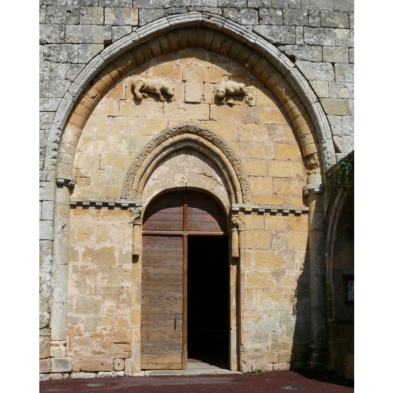
Image copyright © MOSSOT, 2011
CC-BY-SA-3.0
Results: 5 records
view of church exterior - west portal
Copyright Statement: Image copyright © MOSSOT, 2011
Image Source: digital photograph taken 19 July 2011 by Mossot [https://commons.wikimedia.org/wiki/File:Vitrac_-_Eglise_Saint-Martin_-523.jpg] [accessed 18 April 2017]
Copyright Instructions: CC-BY-SA-3.0
view of church exterior - west façade
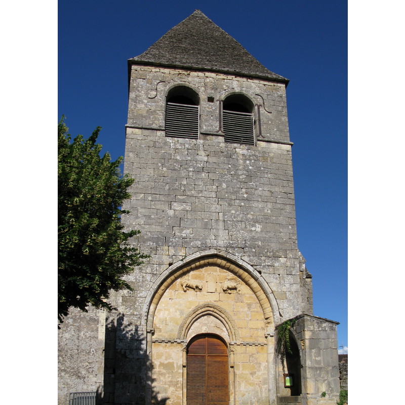
Copyright Statement: Image copyright © Symac, 2010
Image Source: digital photograph taken 13 June 2010 by Symac [https://commons.wikimedia.org/wiki/File:Vitrac_-_L'église,_face.jpg] [accessed 18 April 2017]
Copyright Instructions: GFDL / CC-BY-SA-3.0,2.5,2.0,1.0
view of church exterior - north view
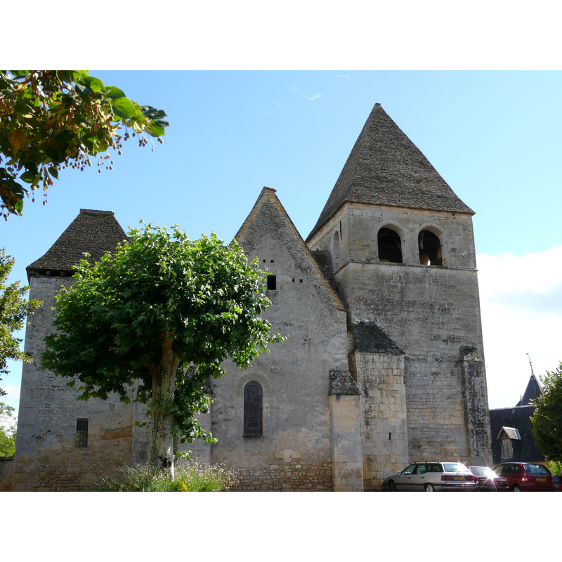
Copyright Statement: Image copyright © MOSSOT, 2011
Image Source: digital photograph taken 19 July 2011 by Mossot [https://commons.wikimedia.org/wiki/File:Vitrac_-_Eglise_Saint-Martin_-521.jpg] [accessed 18 April 2017]
Copyright Instructions: CC-BY-SA-3.0
view of church exterior in context
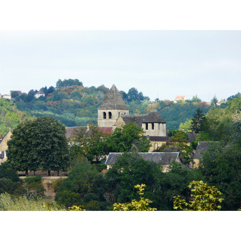
Scene Description: Source caption: "L'église de Vitrac, Dordogne, France. Vue prise depuis le château de Caudon à Domme."
Copyright Statement: Image copyright © Père Igor, 2012
Image Source: digital photograph taken 15 September 2012 by Père Igor [https://commons.wikimedia.org/wiki/File:Vitrac_(24)_église.JPG] [accessed 18 April 2017]
Copyright Instructions: CC-BY-SA-4.0
view of church interior - nave - looking east
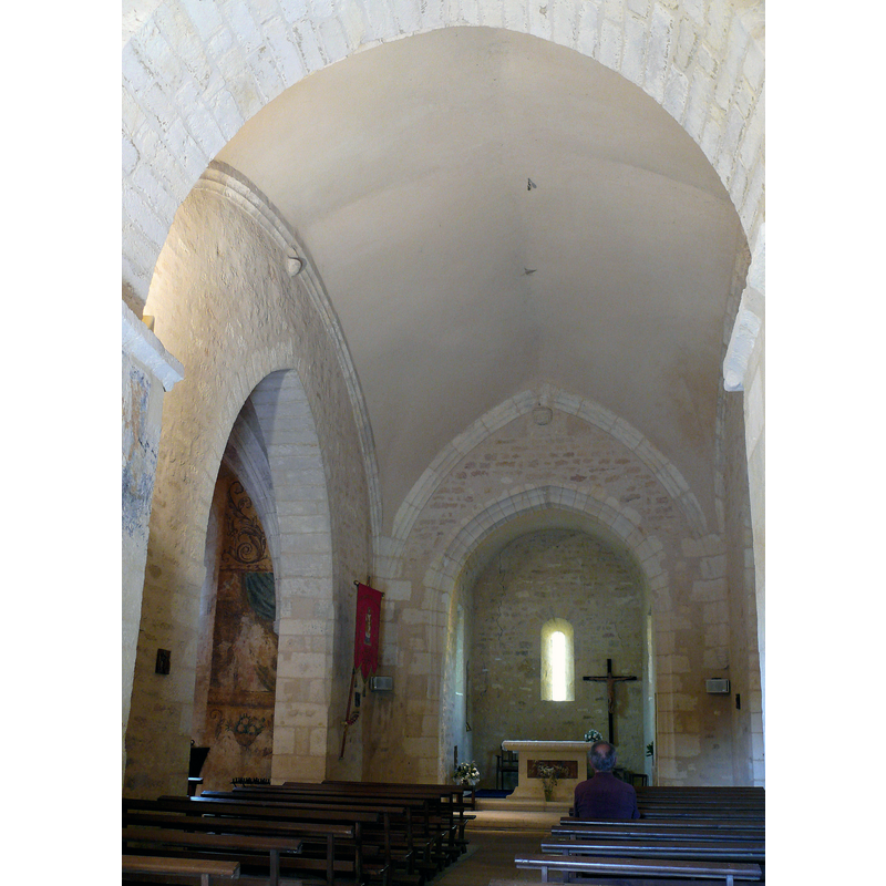
Copyright Statement: Image copyright © MOSSOT, 2011
Image Source: digital photograph taken 19 July 2011 by Mossot [https://commons.wikimedia.org/wiki/File:Vitrac_-_Eglise_Saint-Martin_-529.jpg] [accessed 18 April 2017]
Copyright Instructions: CC-BY-SA-3.0
INFORMATION
Font ID: 21209VIT
Object Type: Baptismal Font1
Font Century and Period/Style: 12th century, Romanesque
Church / Chapel Name: Église paroissiale Saint-Martin de Vitrac
Font Location in Church: [disappeared]
Church Patron Saint(s): St. Martin of Tours
Church Notes: listed in Mérimée [ref.: PA00083071]: "L'église [12e siècle] appartenait à un prieuré de Saint-Augustin, dépendant du monastère de Saint-Amand de Coly. L'origine semble remonter à la fin de l'époque romane (première travée voûtée d'arête et décorée de billettes). Les murs épais de la première travée supportent le clocher dont l'accès se fait par un petit escalier sur plan carré. Le reste de l'édifice semble appartenir au 15e siècle [...] Le portail a été refait au 13e siècle. Dans le tympan sont sculptés, en haut relief, deux lions épaulant une sculpture très frustre."
Church Address: 24200 Vitrac, France
Site Location: Dordogne, Nouvelle-Aquitaine, France, Europe
Directions to Site: Located off (E) the D43-D706 crossroads, 7 km S of Sarlat-la-Canéda
Historical Region: Périgord noir
Font Notes:
Click to view
[NB: we have no information on the baptismal of the 12th-century church here].
COORDINATES
UTM: 31T 359828 4965637
Latitude & Longitude (Decimal): 44.830377, 1.226745
Latitude & Longitude (DMS): 44° 49′ 49.36″ N, 1° 13′ 36.28″ E