Saint-Merd-de-Lapleau / Ecclesiam Sancti Medardi / Gimel-Dordogne
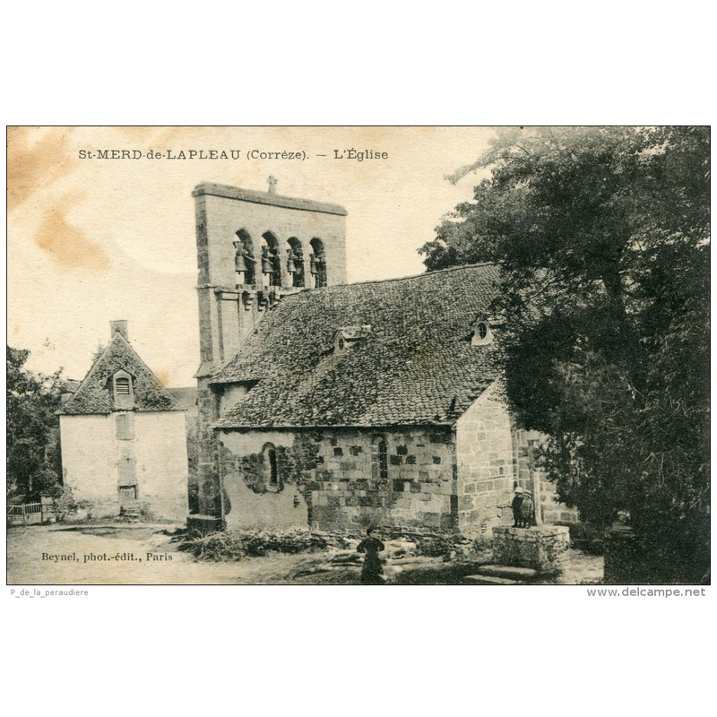
Image copyright © Delcampe.fr, 2017
No known copyright restriction / Fair Dealing
Results: 3 records
view of church exterior - southeast view
Scene Description: this view of the southeast side of the church evidences the disappeared apse of the original Romanesque church here
Copyright Statement: Image copyright © Delcampe.fr, 2017
Image Source: digital image of a B&W postcard in Delcampe.fr [www.delcampe.fr/fr/collections/search?term=&categories[0]=2454] [accessed 31 March 2017]
Copyright Instructions: No known copyright restriction / Fair Dealing
view of church exterior - southwest view
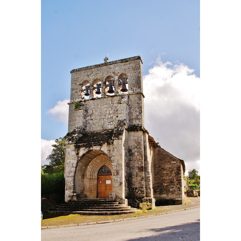
Copyright Statement: Image copyright © Bastien.pierre, 2015
Image Source: digital photograph taken 23 September 2015 by Bastien.pierre https://commons.wikimedia.org/wiki/File:014_St_Merd-de-Lapleau_(_19320_).jpg] [accessed 31 March 2017]
Copyright Instructions: CC-BY-SA-4.0
view of church exterior in context - southeast view
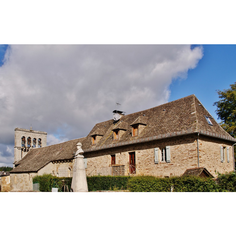
Copyright Statement: Image copyright © Bastien.pierre, 2015
Image Source: digital photograph taken 23 September 2015 by Bastien.pierre https://commons.wikimedia.org/wiki/File:006_St_Merd-de-Lapleau_(_19320_).jpg] [accessed 31 March 2017]
Copyright Instructions: CC-BY-SA-4.0
INFORMATION
Font ID: 21141MER
Object Type: Baptismal Font1
Font Century and Period/Style: 12th - 13th century, Romanesque
Church / Chapel Name: Église paroissiale Saint-Médard
Font Location in Church: [disappeared]
Church Patron Saint(s): St. Medard [aka Medardus]
Church Notes: original church of the 12thC; much modified through the centuries, including the loss of its apse
Church Address: 19320 Saint-Merd-de-Lapleau, France
Site Location: Corrèze, Nouvelle-Aquitaine, France, Europe
Directions to Site: Located off the D13, SW of Lapleau, E of Tulle, WNW of Mauriac
Ecclesiastic Region: Diocèse de Tulle [ancien diocèse de Limoges]
Historical Region: Limousin
Font Notes:
Click to view
[NB: we have no information on the baptismal font of the Romanesque church here].
COORDINATES
UTM: 31T 427664 5011991
Latitude & Longitude (Decimal): 45.257695, 2.07806
Latitude & Longitude (DMS): 45° 15′ 27.7″ N, 2° 4′ 41.02″ E