Saint-Dezery nr. Nîmes / Font-d'Ezéry / Saint-Dézéry
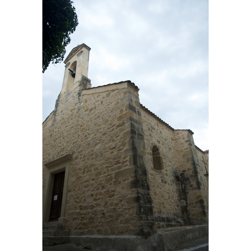
Image copyright © Eric Walter, 2014
CC-BY-SA-4.0
Results: 2 records
view of church exterior - southwest view
Copyright Statement: Image copyright © Eric Walter, 2014
Image Source: digital photograph taken 22 August 2014 by Eric Walter [https://commons.wikimedia.org/wiki/File:Eglise_de_Saint-Dézéry.jpg] [accessed 12 March 2017]
Copyright Instructions: CC-BY-SA-4.0
view of church exterior - southeast view
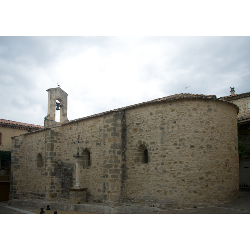
Copyright Statement: Image copyright © Eric Walter, 2014
Image Source: digital photograph taken 22 August 2014 by Eric Walter [https://commons.wikimedia.org/wiki/File:Eglise_de_Saint-Dézéry_02.jpg] [accessed 12 March 2017]
Copyright Instructions: CC-BY-SA-4.0
INFORMATION
Font ID: 21107DEZ
Object Type: Baptismal Font1
Font Date: ca. 1101?
Font Century and Period/Style: 12th century (early?), Romanesque
Church / Chapel Name: Église paroissiale Saint Didier
Font Location in Church: [disappeared]
Church Patron Saint(s): St. Desiderius [aka Didier]
Church Notes: medieval priory dedicated to St. Desiderius dependent on the mother church at Uzès by 1101 [source: Collection de documents inédits sur l'histoire de France, Volume 116, Issue 12, 1868: 200]; burned down by Camisards 1702; restored thereafter
Church Address: 30190 Saint-Dézéry, France
Site Location: Gard, Occitanie, France, Europe
Directions to Site: Located off the D120-D720 crossroads, between Castelnau-Valence (W) and Collorgues (E), W of Uzès, NNW of Nîmes
Historical Region: Pays d'Uzès, Languedoc-Roussillon
Font Notes:
Click to view
[NB: we have no information on the font of the early-12th century church here].
COORDINATES
UTM: 31T 601740 4872838
Latitude & Longitude (Decimal): 44.001644, 4.269025
Latitude & Longitude (DMS): 44° 0′ 5.92″ N, 4° 16′ 8.49″ E