Balagny-sur-l'Aunette in Chamant / Balagny-sur-Aunette
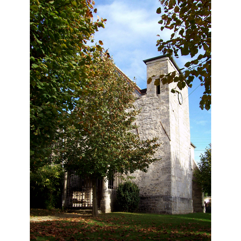
Image copyright © Pierre Poschadel, 2010
CC-BY-SA-2.0-FR
Results: 2 records
view of church exterior - southwest view
Scene Description: Source caption: "L'église Sainte-Foy du hameau de Balagny-sur-Aunette, dont les éléments les plus anciens remontent au XIIe siècle."
Copyright Statement: Image copyright © Pierre Poschadel, 2010
Image Source: digital photograph taken 26 October 2010 by Pierre Poschadel [https://commons.wikimedia.org/wiki/File:Chamant_(60),_hameau_de_Balagny-sur-Aunette,_l'église.jpg] [accessed 10 March 2017]
Copyright Instructions: CC-BY-SA-2.0-FR
view of church exterior - southeast view
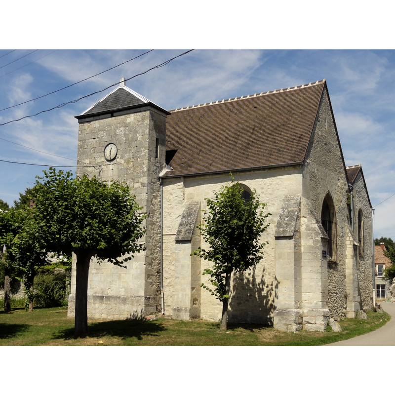
Copyright Statement: Image copyright © Pierre Poschadel, 2015
Image Source: digital photograph taken 2 August 2015 by Pierre Poschadel [https://commons.wikimedia.org/wiki/File:Chamant_(60),_église_Sainte-Foie_de_Balagny,_vue_depuis_le_sud_1.JPG] [accessed 10 March 2017]
Copyright Instructions: CC-BY-SA-4.0
INFORMATION
Font ID: 21101BAL
Object Type: Baptismal Font1
Font Century and Period/Style: 12th century, Romanesque
Church / Chapel Name: Église paroissiale Saint-Foy de Balagny-sur-Aunette à Chamant
Font Location in Church: [disappeared]
Church Patron Saint(s): St. Faith [aka Faith of Conques, Foy]
Church Notes: church listed in Mérimée [ref.: PA00114573]
Church Address: 2 rue Verte, Balagny-sur-l'Aunette. 60300 Chamant, France
Site Location: Oise, Hauts-de-France, France, Europe
Directions to Site: Balagny-sur-l'Aunette is located 2 km NE from the centre of Chamant, a former hamlet, now part of it
Ecclesiastic Region: Diocèse de Beauvais
Historical Region: Picardie
Font Notes:
Click to view
[NB: we have no information on the font of the 12th-century church here]
COORDINATES
UTM: 31U 473562 5452487
Latitude & Longitude (Decimal): 49.2246, 2.6369
Latitude & Longitude (DMS): 49° 13′ 28.56″ N, 2° 38′ 12.84″ E