Saint-Bonnet-les-Tours-de-Merle / Bonnet-le-Pauvre
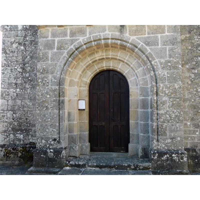
Image copyright © Père Igor, 2015
CC-BY-SA-4.0
Results: 3 records
view of church exterior - west portal
Copyright Statement: Image copyright © Père Igor, 2015
Image Source: digital photograph taken 22 June 2015 by Père Igor [https://commons.wikimedia.org/wiki/File:Saint-Bonnet-les-Tours-de-Merle_église_portail.JPG] [accessed 9 March 2017]
Copyright Instructions: CC-BY-SA-4.0
view of church exterior - northeast view
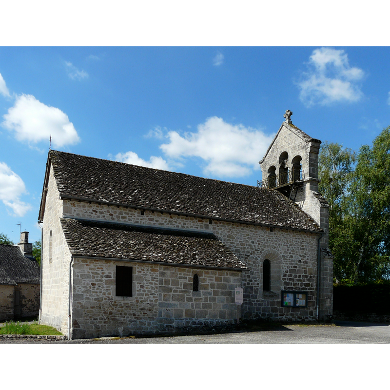
Copyright Statement: Image copyright © Père Igor, 2015
Image Source: edited detail of a digital photograph taken 22 June 2015 by Père Igor [https://commons.wikimedia.org/wiki/File:Saint-Bonnet-les-Tours-de-Merle_église.JPG] [accessed 9 March 2017]
Copyright Instructions: CC-BY-SA-4.0
view of church exterior - southeast view
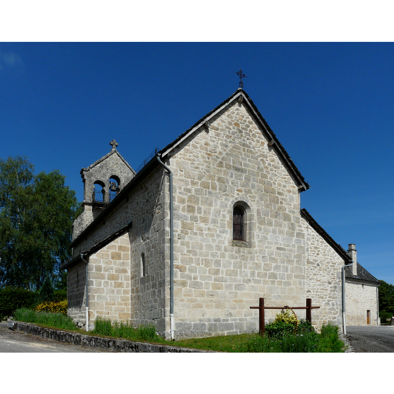
Copyright Statement: Image copyright © Père Igor, 2015
Image Source: digital photograph taken 22 June 2015 by Père Igor [https://commons.wikimedia.org/wiki/File:Saint-Bonnet-les-Tours-de-Merle_église_chevet.JPG] [accessed 9 March 2017]
Copyright Instructions: CC-BY-SA-4.0
INFORMATION
Font ID: 21095BON
Object Type: Baptismal Font1
Font Century and Period/Style: 12th - 13th century, Late Romanesque
Church / Chapel Name: Église paroissiale Saint-Bonnet et Saint-Maur
Font Location in Church: [disappeared]
Church Patron Saint(s): St. Bonnet [aka Bonet] & St. Maur
Church Notes: 12thC (?) church; restored 19thC
Church Address: 19430 Saint-Bonnet-les-Tours-de-Merle, France
Site Location: Corrèze, Nouvelle-Aquitaine, France, Europe
Directions to Site: Located off the D136-D136E2 crossroads, 12 km ESE of Argentat, SW of Mauriac, near the departmental border with Cantal
Ecclesiastic Region: Diocèse de Tulle [ancien diocèse de Limoges]
Historical Region: Pays de la Xaintrie, Limousin
Font Notes:
Click to view
[NB: we have no information on the font of the original Romanesque church here].
COORDINATES
UTM: 31T 426188 4990042
Latitude & Longitude (Decimal): 45.059991, 2.062497
Latitude & Longitude (DMS): 45° 3′ 35.97″ N, 2° 3′ 44.99″ E